Bloomsburg in Columbia County, Pennsylvania — The American Northeast (Mid-Atlantic)
Saint Paul's Episcopal Church
Photographed by William Fischer, Jr., June 17, 2018
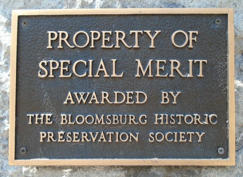
1. Saint Paul's Episcopal Church Merit Marker
Special Merit
Awarded by
The Bloomsburg Historic
Preservation Society
Erected by The Bloomsburg Historic Preservation Society.
Topics. This historical marker is listed in this topic list: Notable Buildings.
Location. 41° 0.239′ N, 76° 27.303′ W. Marker is in Bloomsburg, Pennsylvania, in Columbia County. It is at the intersection of Main Street (U.S. 11) and Iron Street, on the left when traveling east on Main Street. Touch for map. Marker is at or near this postal address: 101 East Main Street, Bloomsburg PA 17815, United States of America. Touch for directions.

Regionally, this marker is in Anthracite Coal Region and in the Susquehanna Valley. It is also in the American Northeast, in the Mid-Atlantic, in Appalachia, and specifically in Northern Appalachia. Globally, it is in North America, the Western Hemisphere, the Western World, and the Anglosphere. Historically, it finds itself in what was once the Haudenosaunee (Iroquois) Confederacy and also one of the original Thirteen Colonies.
Other nearby markers. At least 8 other markers
this page online
Also see . . . Saint Paul's Episcopal Church: How We Started. (Submitted on June 27, 2018, by William Fischer, Jr. of Reynoldsburg, Ohio.)
Photographed by William Fischer, Jr., June 17, 2018
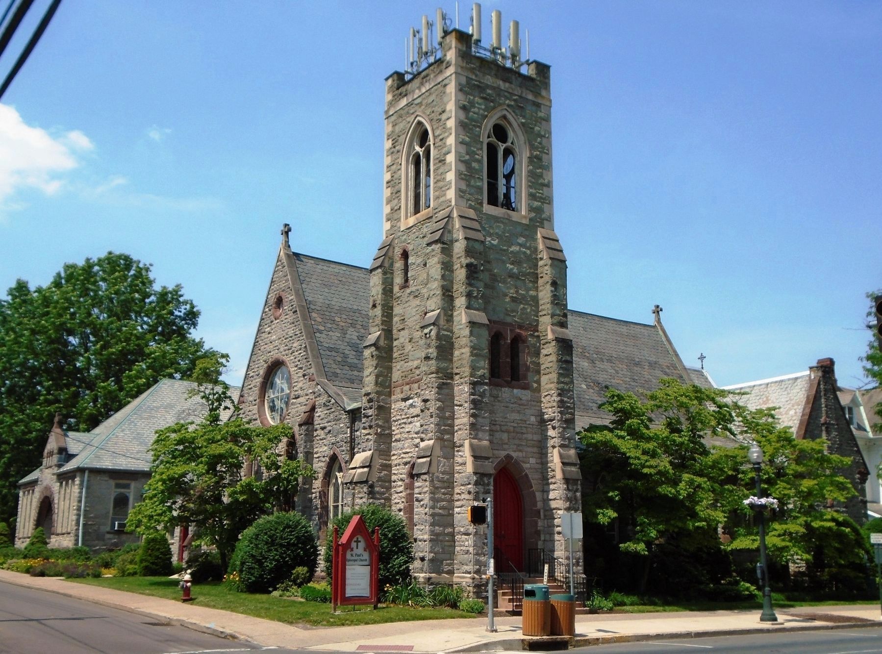
2. Saint Paul's Episcopal Church
Photographed by William Fischer, Jr., June 17, 2018
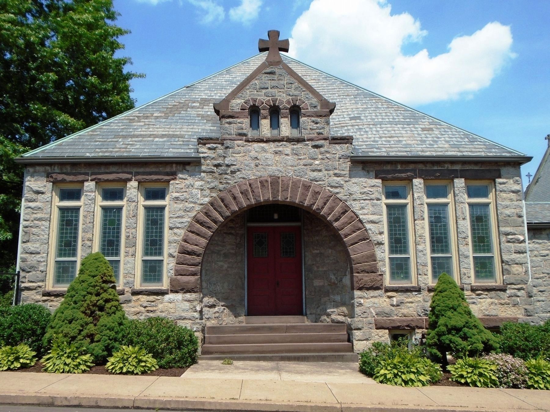
3. Saint Paul's Episcopal Church Parish House
Credits. This page was last revised on June 27, 2018. It was originally submitted on June 27, 2018, by William Fischer, Jr. of Reynoldsburg, Ohio. This page has been viewed 372 times since then and 26 times this year. Photos: 1, 2, 3. submitted on June 27, 2018, by William Fischer, Jr. of Reynoldsburg, Ohio.
