Annandale in Hunterdon County, New Jersey — The American Northeast (Mid-Atlantic)
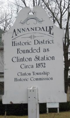
Annandale Historic District
Annandale Historic District
Founded as Clinton Station Circa 1852
Erected by Clinton Township Historical Commission.
Topics. This historical marker is listed in this topic list: Settlements & Settlers. A significant historical year for this entry is 1852.
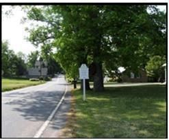
Location. 40° 38.433′ N, 74° 52.95′ W. Marker is in Annandale, New Jersey, in Hunterdon County. Marker is at the intersection of Beaver Avenue and Maple Avenue, on the right when traveling west on Beaver Avenue. Touch for map. Marker is in this post office area: Annandale NJ 08801, United States of America. Touch for directions.
Other nearby markers. At least 8 other markers are within 2 miles of this marker, measured as the crow flies. Annandale Reformed Church (about 400 feet away, measured in a direct line); Annandale 9-11 Memorial (about 500 feet away); Central Railroad Of New Jersey (approx. 0.3 miles away); Jones Tavern (approx. 0.4 miles away); Christopher Vought House (approx. 0.9 miles away); Mountainview Youth Correctional Facility (approx. 1.3 miles away); General George W. Taylor (approx. 1.3 miles away); Gen. George W. Taylor (approx. 1.3 miles away). Touch for a list and map of all markers in Annandale.
More about this marker. The Annandale Historic District was listed in the the National Register of Historic Places on September 8, 1994. This marker is one of three defining this Historic District, which is roughly bounded by Maple Avenue, Main Street, Beaver Avenue, and East Street in Clinton Township.
Also see . . . Annandale, New Jersey History. Town website (Submitted on February 13, 2022, by Larry Gertner of New York, New York.)
Additional commentary.
1. About the Annandale Historic District
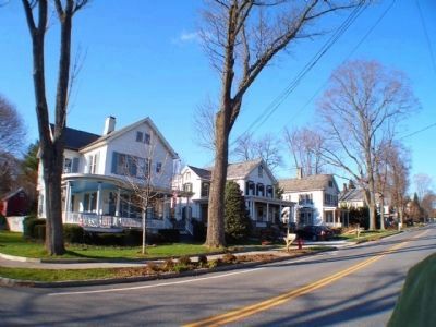
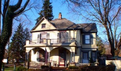
This settlement is located in the center of Clinton Township (State Route 31 and County Roads 633 and 626). This village grew as Clinton Station, a depot of the New Jersey Central Railroad. Named for a town in Scotland, the population reached 380 people by 1880. A fairly dense and well-defined village, it is composed of 12 blocks and approximately 150 structures. The one church in town is the Reformed Church, located on the corner of Beaver Avenue and West Street. The vast majority of the structures are single-family, detached home dating from 1840-1910.
— Submitted October 1, 2008.
Credits. This page was last revised on February 13, 2022. It was originally submitted on October 1, 2008. This page has been viewed 1,584 times since then and 18 times this year. Photos: 1. submitted on April 7, 2009, by Alan Edelson of Union Twsp., New Jersey. 2, 3, 4. submitted on October 1, 2008, by E B of Annandale, New Jersey. • Kevin W. was the editor who published this page.


