Santa Monica in Los Angeles County, California — The American West (Pacific Coastal)
Santa Monica Pier
Santa Monica Landmark
Photographed by Denise Boose, March 8, 2010
1. Santa Monica Pier Marker
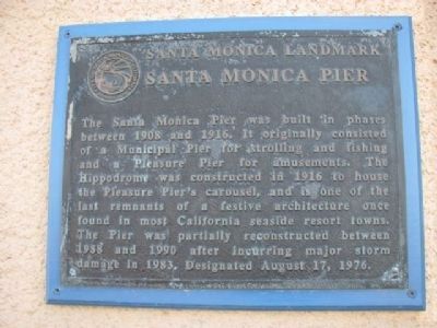
The Santa Monica Pier was built in phases between 1908 and 1916. It originally consisted of a Municipal Pier for strolling and fishing and a Pleasure Pier for amusements. The Hippodrome was constructed in 1916 to house the Pleasure Pier's carousel, and is one of the last remnants of a festive architecture once found in most California seaside resort towns. The Pier was partially reconstructed between 1988 and 1990 after incurring major storm damage in 1983. Designated August 17, 1976.
Erected by City of Santa Monica.
Topics. This historical marker is listed in this topic list: Parks & Recreational Areas. A significant historical year for this entry is 1908.
Location. 34° 0.61′ N, 118° 29.779′ W. Marker is in Santa Monica, California, in Los Angeles County. It can be reached from Colorado Avenue, on the left when traveling west. Touch for map. Marker is at or near this postal address: 200 Santa Monica Pier, Santa Monica CA 90401, United States of America. Touch for directions.

Regionally, this marker is in Greater Los Angeles and in the Transverse Ranges. It is also on the American Pacific Coast. Globally, it
this page online
Other nearby markers. At least 8 other markers are within walking distance of this marker: The Santa Monica Pier Carousel (here, next to this marker); Colorado Avenue Viaduct (about 600 feet away, measured in a direct line); Playland Arcade (about 600 feet away); Sinbad's & Moby's Dock (about 600 feet away); Muscle Beach (about 600 feet away); La Monica Ballroom (about 600 feet away); The Purser Hotel and Apartments (about 600 feet away); Santa Monica Harbor and Breakwater (approx. 0.2 miles away). Touch for a list and map of all markers in Santa Monica.
Photographed by Craig Baker, July 2, 2018
2. Santa Monica Pier Marker
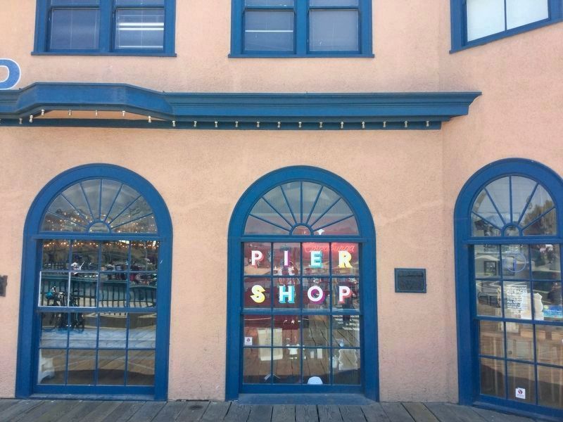
Near the entrance to the merry-go-round.
Photographed by Denise Boose, March 8, 2010
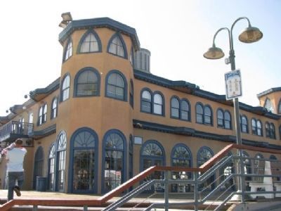
3. The marker is to the right.
Photographed by Denise Boose, March 8, 2010
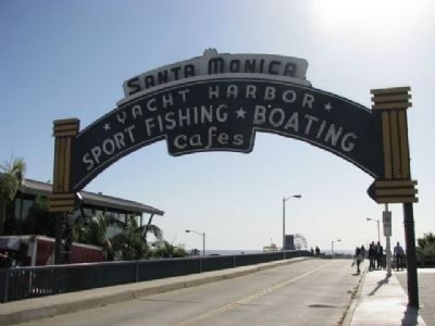
4. Santa Monica Pier entrance

Photographed by Craig Baker, December 3, 2025
5. Santa Monica Pier
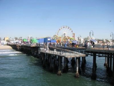
Photographed by Denise Boose, March 8, 2010
6. Santa Monica Pier
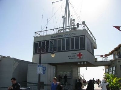
Photographed by Denise Boose, March 8, 2010
7. Santa Monica Pier History Board
Located under the Harbor Office next to the restrooms.
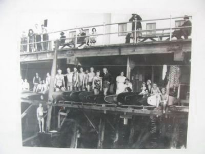
Photographed by Santa Monica History Board
8. Santa Monica Pier
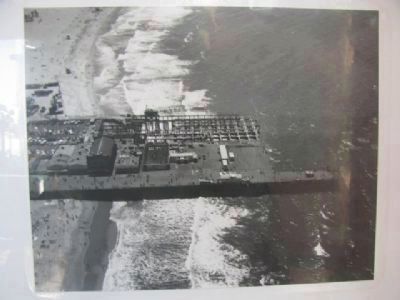
Photographed by Santa Monica History Board
9. Santa Monica Pier
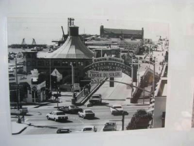
Photographed by Santa Monica History Board
10. Santa Monica Pier
Photographed by Denise Boose, March 8, 2010
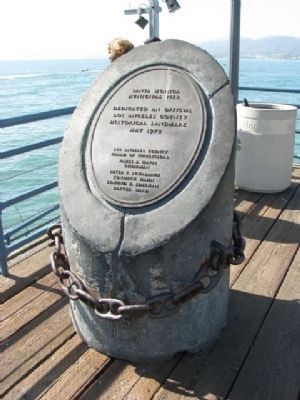
11. Santa Monica Municipal Pier
Dedicated an official Los Angeles County Hisotrical Landmark May 1975,
Los Angeles County Board of Supervisors
Photographed by Denise Boose, March 8, 2010
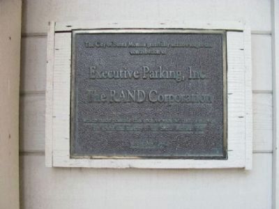
12. Santa Monica Pier Plaque
The City of Santa Monica gratefully acknowledges its contribution of Executive Parking, Inc., The Rand Corporation, which made possible this archive exhibit that preserves the spirit and history of the Santa Monica Pier. November 1992.
Credits. This page was last revised on February 20, 2026. It was originally submitted on April 6, 2012, by Denise Boose of Tehachapi, California. This page has been viewed 1,826 times since then and 141 times this year. Last updated on July 4, 2018, by Craig Baker of Sylmar, California. Photos: 1. submitted on April 6, 2012, by Denise Boose of Tehachapi, California. 2. submitted on July 3, 2018, by Craig Baker of Sylmar, California. 3, 4. submitted on April 6, 2012, by Denise Boose of Tehachapi, California. 5. submitted on February 20, 2026, by Craig Baker of Sylmar, California. 6, 7, 8, 9, 10, 11, 12. submitted on April 6, 2012, by Denise Boose of Tehachapi, California. • Andrew Ruppenstein was the editor who published this page.
