Ojai in Ventura County, California — The American West (Pacific Coastal)
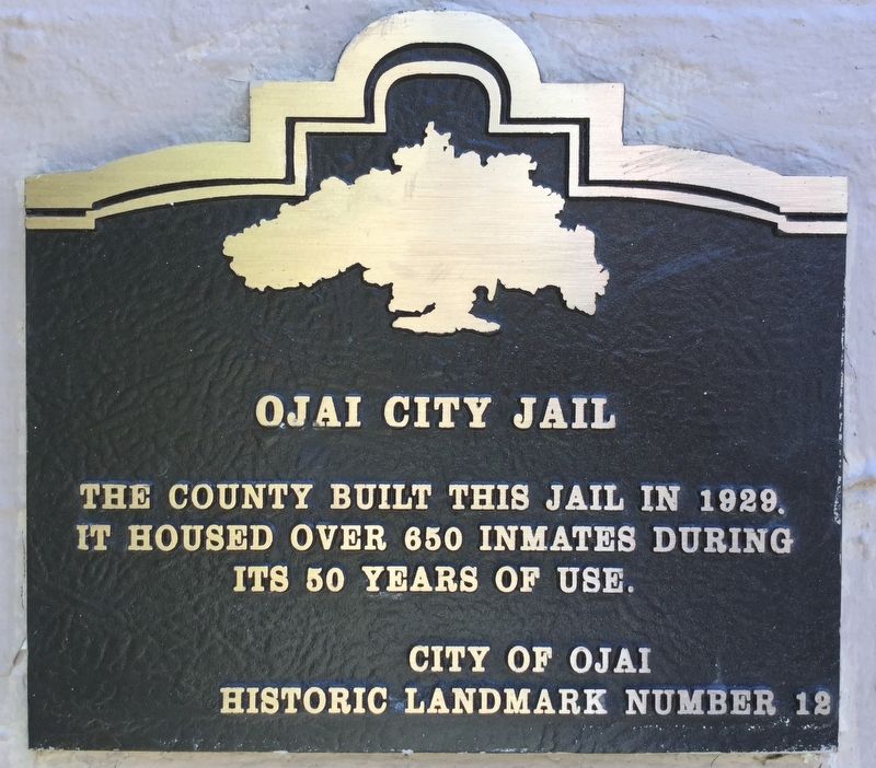
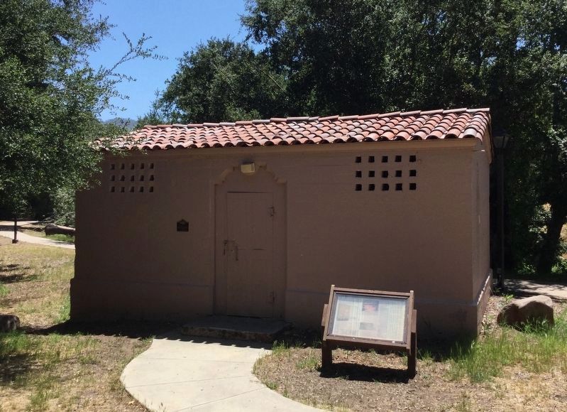
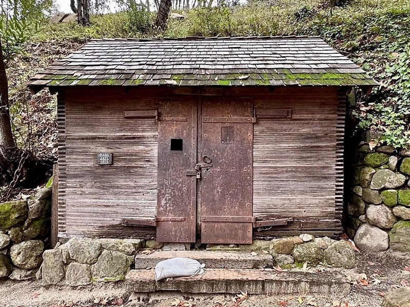
Ojai City Jail
Erected by City of Ojai. (Marker Number 12.)
Topics. This historical marker is listed in this topic list: Law Enforcement.
Location. 34° 26.713′ N, 119° 14.706′ W. Marker is in Ojai, California, in Ventura County. Marker can be reached from Signal Street near Ojai Avenue. Located in Libbey Park, south of the bicycle path. Touch for map. Marker is in this post office area: Ojai CA 93023, United States of America. Touch for directions.
Other nearby markers. At least 8 other markers are within 8 miles of this marker, measured as the crow flies. The History of Libbey Bowl (about 500 feet away, measured in a direct line); Ojai Post Office Tower and Portico (approx. 0.2 miles away); The Ojai Arcade (approx. 0.2 miles away); Matilija Hot Springs (approx. 4.3 miles away); Oil Well Ojai No. 6 (approx. 7.3 miles away); Santa Gertrudis Asistencia (approx. 7.4 miles away); San Buenaventura Mission Aqueduct (approx. 7.6 miles away); Rancho Cañada Larga (approx. 7.6 miles away). Touch for a list and map of all markers in Ojai.
Regarding Ojai City Jail. The 23’ x 15’ jail had four cells, eight beds, and one shower. Prisoners were monitored by an intercom system wired to the nearby constable’s office.
Credits. This page was last revised on April 4, 2024. It was originally submitted on June 24, 2018, by Craig Baker of Sylmar, California. This page has been viewed 583 times since then and 114 times this year. Last updated on July 4, 2018, by Craig Baker of Sylmar, California. Photos: 1, 2. submitted on June 24, 2018, by Craig Baker of Sylmar, California. 3. submitted on April 3, 2024, by Craig Baker of Sylmar, California. • Andrew Ruppenstein was the editor who published this page.


