
Brownsville in Cameron County, Texas — The American South (West South Central)
Sacred Heart Church
-1912-
Photographed by Cosmos Mariner, May 18, 2018
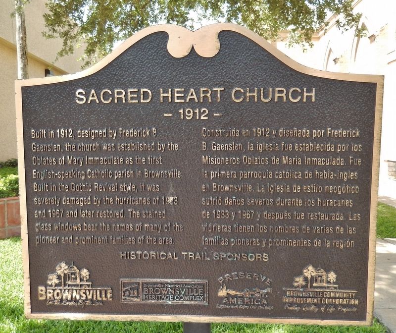
1. Sacred Heart Church Marker
(English)
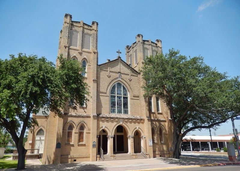
Built in 1912, designed by Frederick B. Gaenslen, the church was established by the Oblates of Mary Immaculate as the first English-speaking Catholic parish in Brownsville. Built in the Gothic Revival style, it was severely damaged by the hurricanes of 1963 and 1967 and later restored. The stained glass windows bear the names of many of the pioneer and prominent families of the area.
(Spanish)
Construida en 1912 y diseñada por Frederick B. Gaenslen, la iglesia fue establecida por los Misioneros Oblatos de María Inmaculada. Fue la primera parroquia católica de habla-ingles en Brownsville. La iglesia estilo neogótico sufrio danos severos durante los huracanes de 1963 y 1967 y depues fue restaurada. Las vidrieras tienen los nombres de varias de las familias pioneras y prominentes de la region.
Erected by Brownsville Historical Association.
Topics. This historical marker is listed in these topic lists: Architecture • Disasters • Religion & Religious Structures. A significant historical year for this entry is 1912.
Location. 25° 54.29′ N, 97° 30.14′ W. Marker is in Brownsville, Texas, in Cameron
this page online

Regionally, this marker is in South Texas. It is also in the American South and on the Gulf Coast. Globally, it is in North America, a Gulf of Mexico state, the Western Hemisphere, the Western World, and the Anglosphere. Historically, it finds itself in what was once New Spain, the Republic of Texas, and one of the Confederate States of America.
Other nearby markers. At least 8 other markers are within walking distance of this marker: A different marker also named Sacred Heart Church (here, next to this marker); Sacred Heart Catholic Church (a few steps from this marker); Original Site of St. Joseph College (within shouting distance of this marker); Barreda House (about 400 feet away, measured in a direct line); Casa Kowalski-Dennett (about 400 feet away); Kowalski/Dennett House (about 400 feet
Photographed by Cosmos Mariner, May 18, 2018
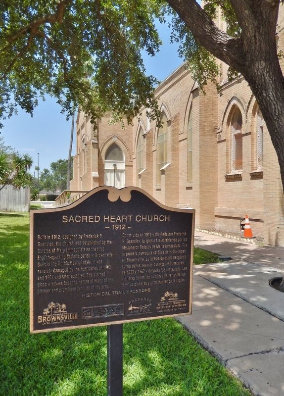
2. Sacred Heart Church Marker (tall view; south side of church in background)
More about this marker. Marker is in the Brownsville Historical Trail series.
Also see . . .
1. Hurricane Cindy (1963). Hurricane Cindy was the first hurricane to form in the Gulf of Mexico since 1960. Cindy developed within a trough as a tropical storm in the Gulf of Mexico on 16 September. The disturbance swiftly intensified to hurricane strength, with a distinct eye becoming visible on satellite imagery as it drifted north-northwestwards toward the Texas coastline. Despite favorable conditions, with high sea surface temperatures, the storm only intensified into a Category 1 hurricane. (Submitted on July 5, 2018, by Cosmos Mariner of Cape Canaveral, Florida.)
2. Hurricane Beulah (1967). (This link presents details, photos, and video of hurricane Beulah and its aftermath in Brownsville.) In 1967, Hurricane Beulah hit the Texas coast, causing the Rio Grande to overflow its banks and leading to what some called the worst flooding of the 20th century. This Universal
Photographed by Cosmos Mariner, May 18, 2018
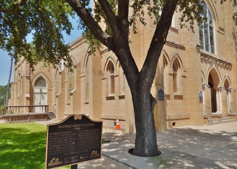
3. Sacred Heart Church Marker (wide view; southeast corner of church in background)
Photographed by Cosmos Mariner, May 18, 2018
4. Sacred Heart Church (front view from Elizabeth Street; related markers visible on church)
Credits. This page was last revised on June 21, 2025. It was originally submitted on July 5, 2018, by Cosmos Mariner of Cape Canaveral, Florida. This page has been viewed 798 times since then and 77 times this year. Photos: 1, 2, 3, 4. submitted on July 5, 2018, by Cosmos Mariner of Cape Canaveral, Florida. • Bernard Fisher was the editor who published this page.
