Cloverport in Breckinridge County, Kentucky — The American South (East South Central)
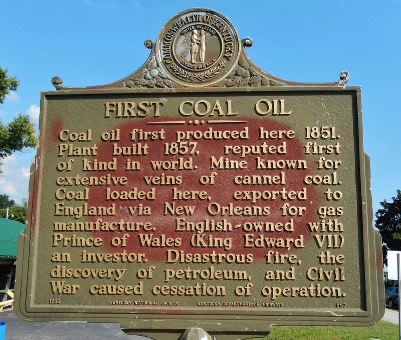
First Coal Oil
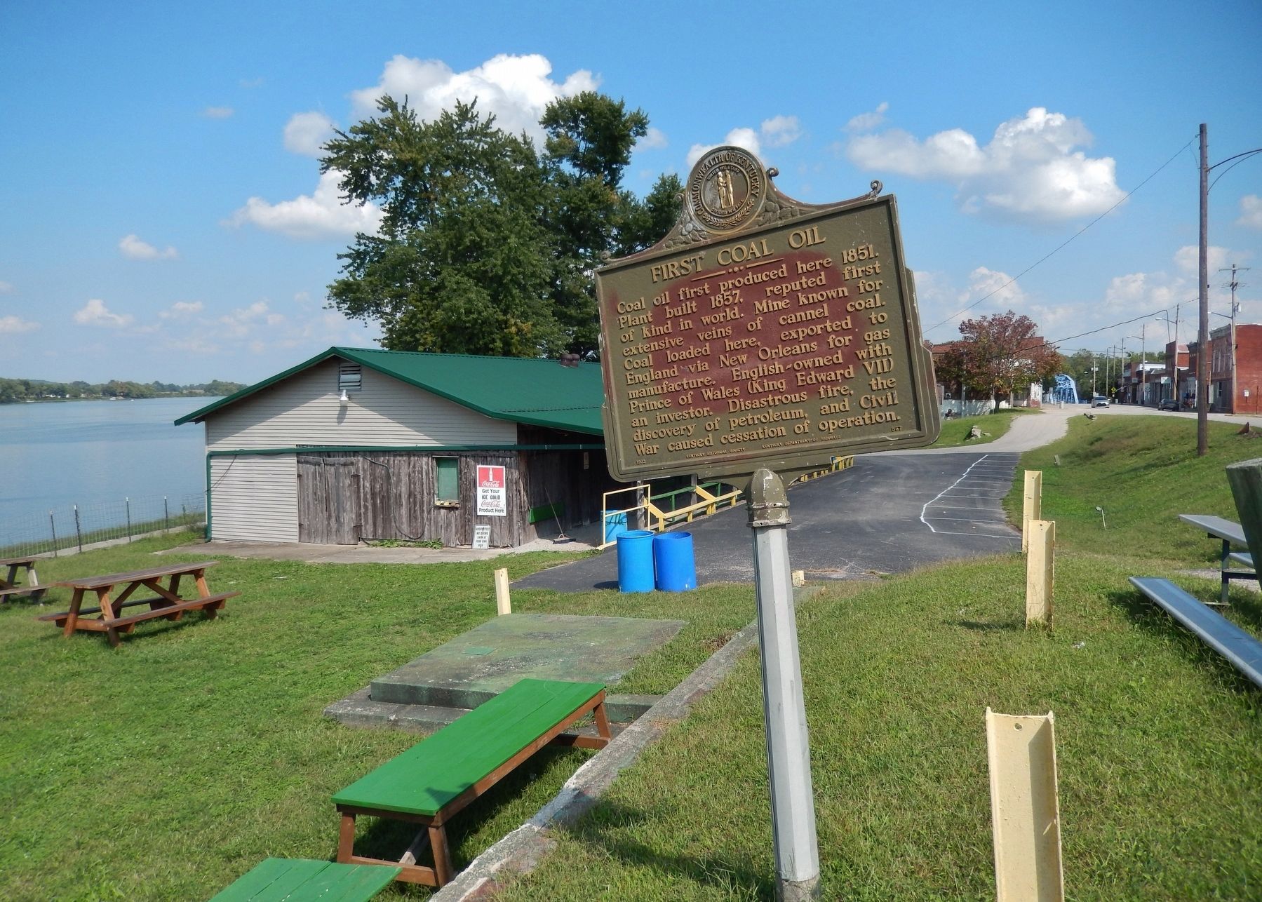
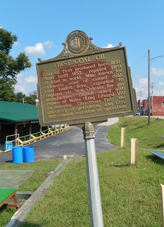
Coal oil first produced here 1851. Plant built 1857, reputed first of kind in world. Mine known for extensive veins of cannel coal. Coal loaded here, exported to England via New Orleans for gas manufacture. English-owned with Prince of Wales (King Edward VII) an investor. Disastrous fire, the discovery of petroleum, and Civil War caused cessation of operation.
Erected 1962 by Kentucky Historical Society & Kentucky Department of Highways. (Marker Number 557.)
Topics. This historical marker is listed in these topic lists: Disasters • Industry & Commerce • Natural Resources • War, US Civil. A significant historical year for this entry is 1851.
Location. 37° 50.225′ N, 86° 38.055′ W. Marker is in Cloverport, Kentucky, in Breckinridge County. Marker is on West Main Street (Kentucky Route 2200) east of Center Street, on the right when traveling west. Marker is located in a pull-out north of Cloverport Baptist Church. Touch for map. Marker is at or near this postal address: 314 West Main Street, Cloverport KY 40111, United States of America. Touch for directions.
Other nearby markers. At least 8 other markers are within 6 miles of this marker, measured as the crow flies. Lincoln Family Trail (within shouting distance of this marker); Cloverport Veterans Monument (within shouting distance of this marker); Breckinridge County Veterans Memorial (within shouting distance of this marker); Early Shipping Point (about 700 feet away, measured in a direct line); Tar Springs (approx. 0.4 miles away); Joseph Holt (approx. 3.3 miles away); Lafayette's Tour (approx. 5.9 miles away in Indiana); Lafayette Spring (approx. 5.9 miles away in Indiana). Touch for a list and map of all markers in Cloverport.
Also see . . . Breckinridge County Kentucky History. Kentucky Genealogy Trails website entry:
Adjacent to Cloverport there are fine beds of cannel coal. Prior to the discovery of petroleum in Pennsylvania and other regions, it was manufactured from this coal. A factory was built at Cloverport before the civil war, and for several years produced large quantities of oil, but since the era of petroleum this process became slow and expensive, and the distillation of oil from cannel coal was discontinued. The coal is being mined, however, by an English company, and to facilitate transportation a railroad has been constructed from the mines to the river at Cloverport. (Submitted on July 6, 2018, by Cosmos Mariner of Cape Canaveral, Florida.)

Photographed By Cosmos Mariner, September 17, 2017
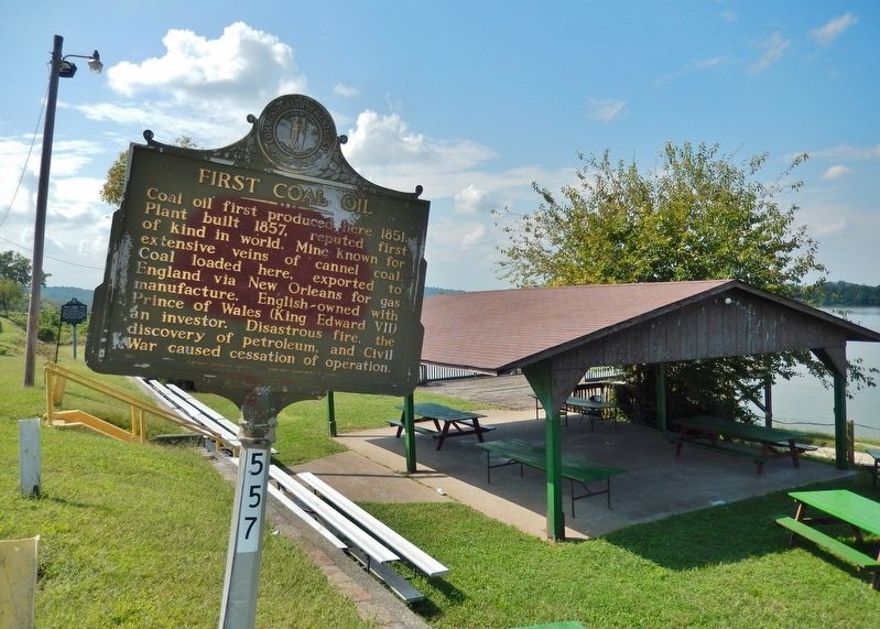
4. First Coal Oil Marker (wide view; looking northeast across Ohio River; Main Street on right)
Oil and Gas History of Kentucky: 1629 to Drake
Kentucky Oil History website entry
Click for more information.
Kentucky Oil History website entry
Click for more information.
Credits. This page was last revised on May 25, 2022. It was originally submitted on July 6, 2018, by Cosmos Mariner of Cape Canaveral, Florida. This page has been viewed 383 times since then and 29 times this year. Photos: 1, 2, 3, 4. submitted on July 6, 2018, by Cosmos Mariner of Cape Canaveral, Florida. • Bernard Fisher was the editor who published this page.


