Colorado City in Mitchell County, Texas — The American South (West South Central)
Colorado City Standpipe
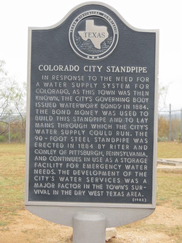
Photographed by Bill Kirchner, November 12, 2017
1. Colorado City Standpipe Marker
Erected 1985 by Texas Historical Commission. (Marker Number 971.)
Topics. This historical marker is listed in this topic list: Industry & Commerce. A significant historical year for this entry is 1884.
Location. 32° 22.977′ N, 100° 50.317′ W. Marker is in Colorado City, Texas, in Mitchell County. It can be reached from State Highway 208 half a mile south of Westpoint Avenue, on the right when traveling south. Marker is behind old Wallace School. Touch for map. Marker is in this post office area: Colorado City TX 79512, United States of America. Touch for directions.

Regionally, this
this page online
Other nearby markers. At least 8 other markers are within 2 miles of this marker, measured as the crow flies: Colorado City Cemetery (approx. 0.6 miles away); R.C. (Dick) Ware (approx. 0.7 miles away); Ruddick Park (approx. 1.1 miles away); Comanche Village Massacre (approx. 1.1 miles away); E.M. Hardigree Home (approx. 1½ miles away); All Saints' Church (approx. 1½ miles away); Dr. Preston C. Coleman (approx. 1½ miles away); Buffalo Trails (approx. 1½ miles away). Touch for a list and map of all markers in Colorado City.
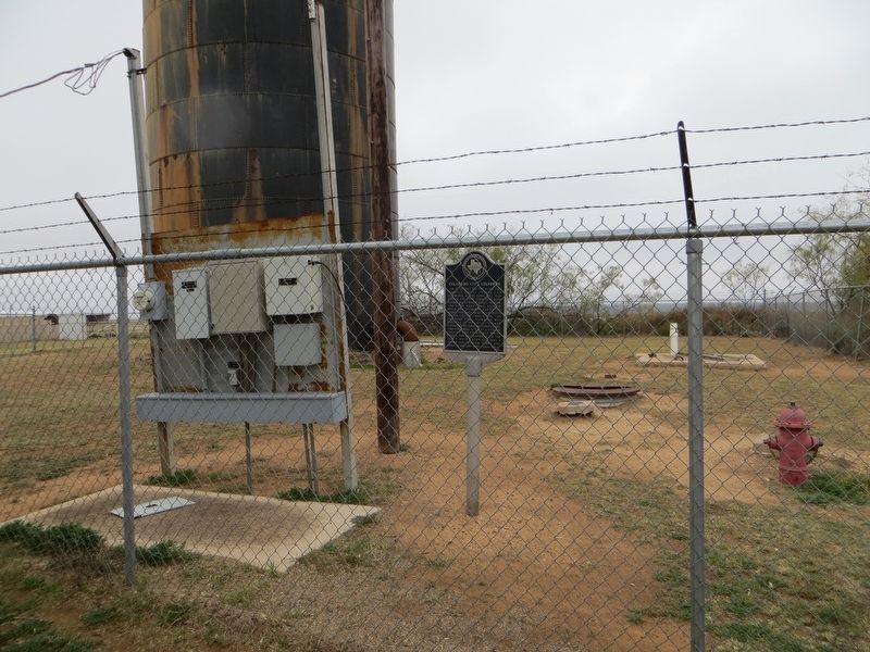
Photographed by Bill Kirchner, November 12, 2017
2. Colorado City Standpipe Marker
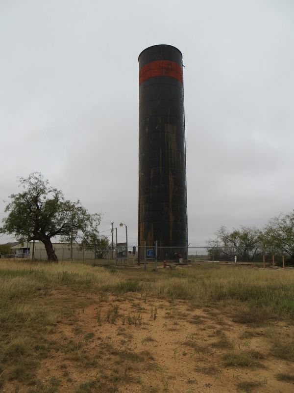
Photographed by Bill Kirchner, November 12, 2017
3. Colorado City Standpipe
Credits. This page was last revised on July 6, 2018. It was originally submitted on July 6, 2018, by Bill Kirchner of Tucson, Arizona. This page has been viewed 496 times since then and 34 times this year. Photos: 1, 2, 3. submitted on July 6, 2018, by Bill Kirchner of Tucson, Arizona.
