Wrocław in Wrocław Powiat, Lower Silesia, Poland — Central Europe
Kamienica ⎯⎯⎯ An old house
Photographed by Andrew Ruppenstein, May 24, 2018
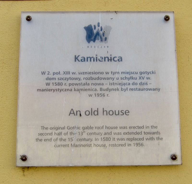
1. Kamienica / An Old House Marker
Inscription.
W 2. poi. XIII w. vrzniesiono w tyrn miejscu gotycki dom szczytowy, rozbudowany u schyłku XV w. W 1580 r. powstała nowa - istniejąca do dziś -manierystyczna kamienica. Budynek był restaurowany w 1956 r.
-
W 2. poi. XIII w. vrzniesiono w tyrn miejscu gotycki dom szczytowy, rozbudowany u schyłku XV w. W 1580 r. powstała nowa - istniejąca do dziś -manierystyczna kamienica. Budynek był restaurowany w 1956 r.
-
The original Gothic gable roof house was erected in the second half of 13th century and was extended towards the end of the 15 century. In 1580 it was replaced with the current Mannerist house, restored in 1956.
Topics. This historical marker is listed in this topic list: Notable Buildings. A significant historical year for this entry is 1580.
Location. 51° 6.643′ N, 17° 1.842′ E. Marker is in Wrocław, Dolnośląskie (Lower Silesia), in Wrocław Powiat. It is on Rynek. Touch for map. Marker is in this post office area: Wrocław, Dolnośląskie 50-106, Poland. Touch for directions.
Regionally, it is in Europe, the European Union, the Carpathian States, Central Europe, Eastern Europe, the Schengen Area, and the Western World. Historically, it finds itself in what was once the Russian Empire and specifically also the Holy Roman Empire.
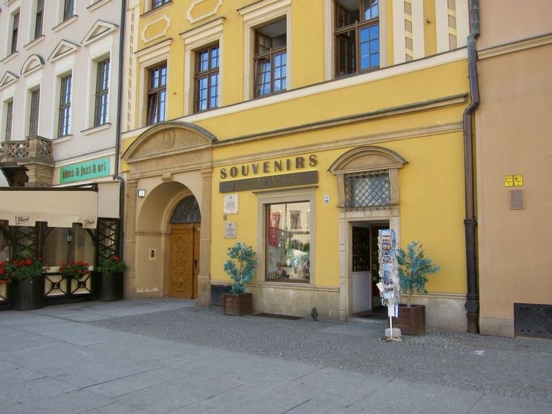
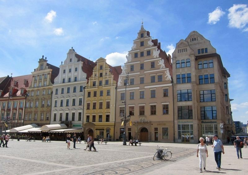
The yellow building, i.e. third building in the row (from the right), is the marker subject here.
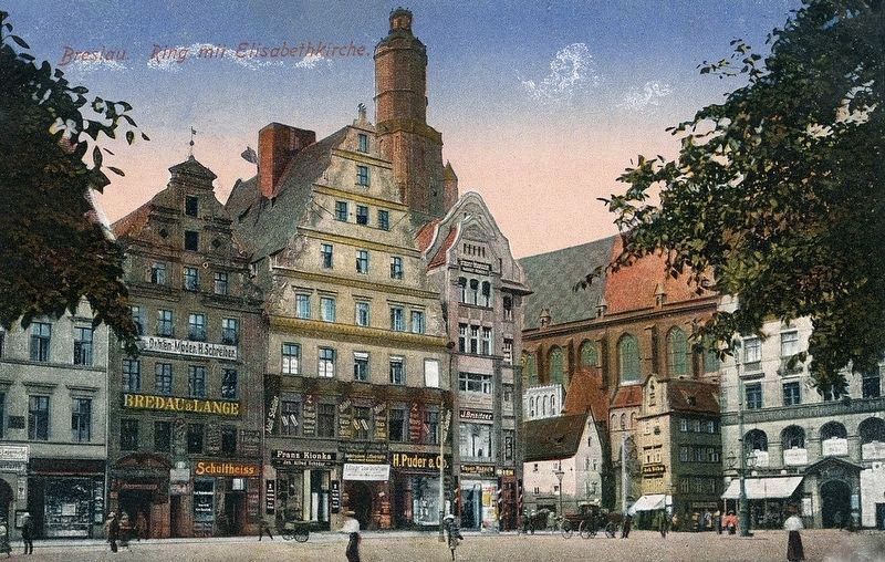
Postcard image courtesy of TomBanknoter and Dolny-Slask.org.pl, circa 1910
4. Breslau, Ring mit Elisabethkirche
The "old building" is the one on the left, i.e. third from the corner.
Credits. This page was last revised on July 6, 2018. It was originally submitted on July 6, 2018, by Andrew Ruppenstein of Lamorinda, California. This page has been viewed 211 times since then and 11 times this year. Photos:1, 2, 3, 4. submitted on July 6, 2018, by Andrew Ruppenstein of Lamorinda, California.