Rodney in Jefferson County, Mississippi — The American South (East South Central)
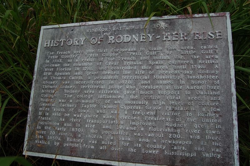
History of Rodney - Her Rise
Windsor Battlefield Tour
The French were the first Europeans to claim this area, clled "Petit Gouffre", "Petit Golphe", "Petit Gulf", or "Little Gulf". In 1763, as a result of the French and Indian War, the area became the dominion of Great Britain. Spain captured British West Florida in 1781, and controlled this area until 1798. A 1791 Spanish land grant deeded the site of present day Rodney to Thomas Calvit, a prominent territorial Mississippi landholder. Rodney was incorporated in 1828, and named in honor of Thomas Rodney, territorial judge who presided at the Aaron Burr hearing. Rodney area citizens gave much support to Oakland College. The college influenced the entire rural area, and Rodney was a community of an unusually high level of culture. General Zachary Taylor owned Cypress Grove Plantation, a few miles south of town, and was a frequent visitor to Rodney. It is said he was there when elected president of the United States. As river transportation improved, Rodney grew in population and size and became a flourishing river town in the early 1830's, the population was about 200, and there were 20 stores, a church, a bank, and a newspaper. In the late 1850's, Rodney was noted for its county fairs, and was visited by people from all over the Lower Mississippi Valley.
Topics and series. This historical marker is listed in this topic list: Settlements & Settlers . In addition, it is included in the Former U.S. Presidents: #12 Zachary Taylor series list.
Location. 31° 51.765′ N, 91° 11.992′ W. Marker is in Rodney, Mississippi, in Jefferson County. Marker is on Muddy Bayou Road near Rodney Road, on the right when traveling north. Touch for map. Marker is in this post office area: Lorman MS 39096, United States of America. Touch for directions.
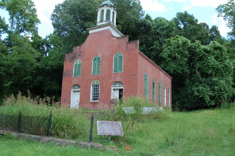
Other nearby markers. At least 8 other markers are within walking distance of this marker. Old Town of Rodney - Layout (here, next to this marker); History of Rodney - Her Fall (here, next to this marker); Old Rodney Presbyterian Church (here, next to this marker); Rodney Presbyterian Church (here, next to this marker); a different marker also named Old Rodney Presbyterian Church (a few steps from this marker); Dr. Rush Nutt (1781-1837) (within shouting distance of this marker); Old Town of Rodney - Structures (within shouting distance of this marker); Old Town of Rodney (within shouting distance of this marker). Touch for a list and map of all markers in Rodney.
Credits. This page was last revised on July 8, 2018. It was originally submitted on July 8, 2018, by Cajun Scrambler of Assumption, Louisiana. This page has been viewed 349 times since then and 54 times this year. Photos: 1. submitted on July 8, 2018. 2. submitted on July 8, 2018, by Cajun Scrambler of Assumption, Louisiana.

