Near Edgemont in Fall River County, South Dakota — The American Midwest (Upper Plains)
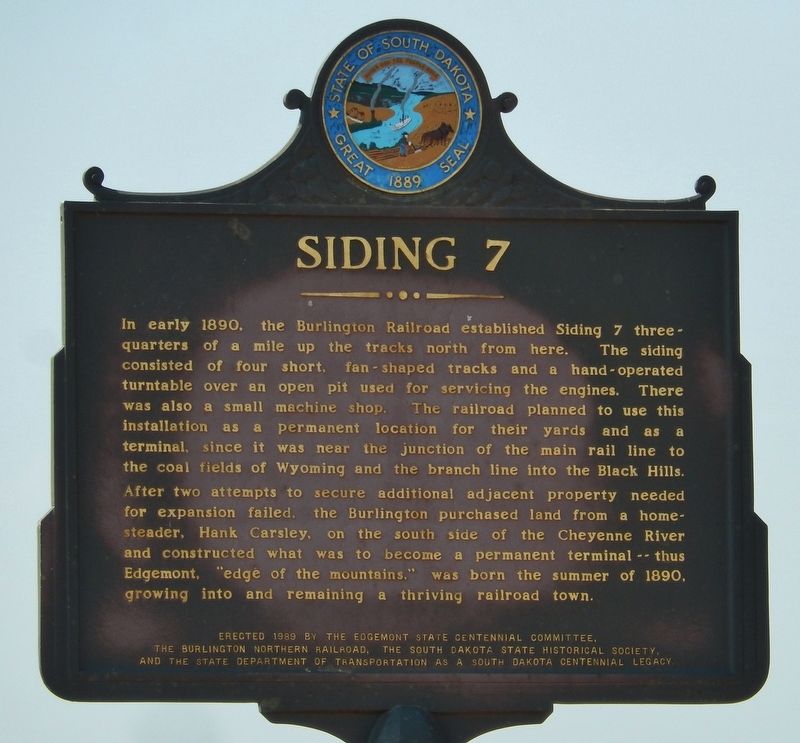
Siding 7
the Burlington Northern Railroad, the South Dakota State Historical Society,
and the State Department of Transportation as a Centennial Legacy.
Erected 1989 by Edgemont State Centennial Committee, Burlington Northern Railroad, South Dakota State Historical Society, and South Dakota State Department of Transportation. (Marker Number 505.)
Topics and series. This historical marker is listed in these topic lists: Railroads & Streetcars • Settlements & Settlers. In addition, it is included in the South Dakota State Historical Society Markers series list. A significant historical year for this entry is 1890.
Location. 43° 18.575′ N, 103° 49.582′ W. Marker is near Edgemont, South Dakota, in Fall River County. Marker is on Highway 18, half a mile west of Cemetery Road (County Highway 185), on the right when traveling west. Marker is located in small pull-out on the north side of the highway. Touch for map. Marker is in this post office area: Edgemont SD 57735, United States of America. Touch for directions.
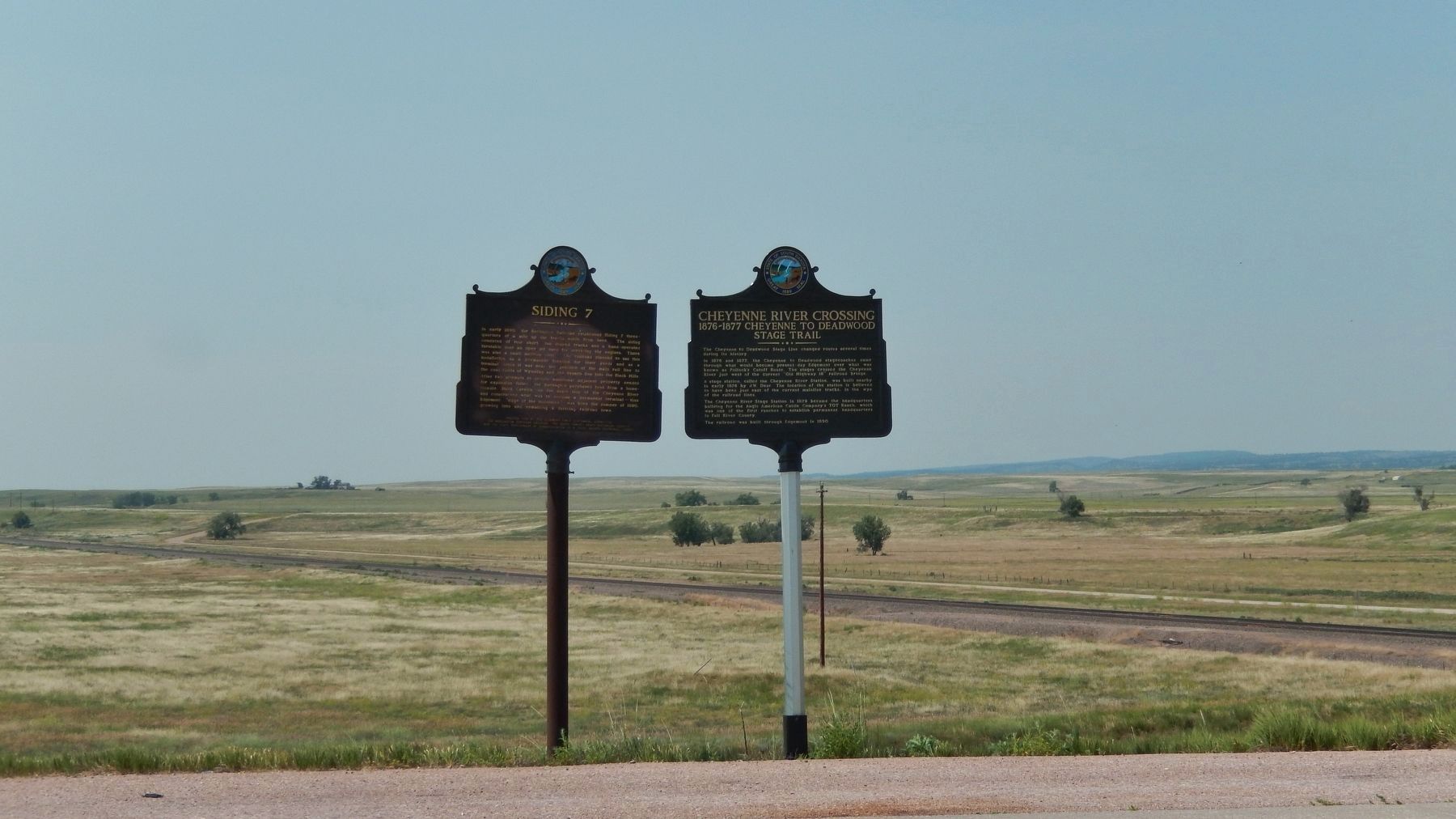
Other nearby markers. At least 6 other markers are within 7 miles of this marker, measured as the crow flies. Cheyenne River Crossing (here, next to this marker); Teddy Roosevelts's Visit to Edgemont (approx. 0.8 miles away); Edgemont: Where the Trail Begins (approx. 0.8 miles away); Camp Collier (approx. 3.1 miles away); MAFFS 7 (approx. 6½ miles away); Battle the Blaze (approx. 6½ miles away).
More about this marker. Marker is facing US Highway 18, and it is placed immediately to the left of a different marker related to this same location.
Also see . . .
1. The Burlington Route: Wyoming’s Second Transcontinental Railroad
. After statehood in 1890 the Chicago, Burlington and Quincy Railroad (CB&Q) started to drive development into the northern half of the state. Such Wyoming towns as Newcastle, Sheridan, Gillette, Cody, Powell, Worland and Thermopolis all owe their growth to the arrival of the CB&Q.
The CB&Q operated under several names in Wyoming, and they referred to the new lines as the Burlington and Missouri Railroad, the B&M or simply “The Burlington.” (Submitted on July 10, 2018, by Cosmos Mariner of Cape Canaveral, Florida.)
2. City of Edgemont South Dakota. Edgemont came into being in 1889 with the arrival of the railroad three days before South Dakota became a state on November 2, 1889. Since then the town has seen many periods of boom and bust. First was the railroad itself which included a roundhouse for repairs, then a 110 mile spur to Deadwood (now the Mickelson Trail). (Submitted on July 10, 2018, by Cosmos Mariner of Cape Canaveral, Florida.)
Credits. This page was last revised on July 10, 2018. It was originally submitted on July 9, 2018, by Cosmos Mariner of Cape Canaveral, Florida. This page has been viewed 233 times since then and 16 times this year. Photos: 1, 2. submitted on July 9, 2018, by Cosmos Mariner of Cape Canaveral, Florida. • Andrew Ruppenstein was the editor who published this page.

