Near Jellico in Campbell County, Tennessee — The American South (East South Central)
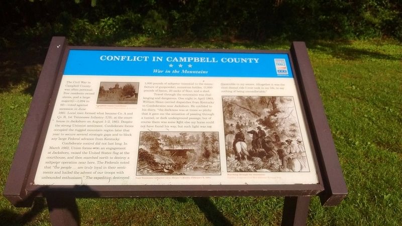
Conflict in Campbell County
War in the Mountains
Photographed by Tom Bosse, July 4, 2018
1. Conflict in Campbell County Marker
Confederate control did not last long. In March 1862, Union forces won an engagement at Jacksboro, raised the United States flag at the courthouse, and then marched north to destroy a saltpeter operation near here. The Federals noted that “the people…are truly loyal in their sentiments and hailed the advent of our troops with unbounded enthusiasm.” The expedition destroyed 1,000 pounds of saltpeter (essential to the manufacture of gunpowder), numerous kettles, 11,000 pounds of bacon, 20 sacks of flour, and a shed.
Travel through the mountains was challenging and dangerous. One night in April 1863, William Sloan carried
this page online
Erected by Tennessee Civil War Trails.
Topics and series. This historical marker is listed in this topic list: War, US Civil. In addition, it is included in the Tennessee Civil War Trails series list. A significant historical month for this entry is March 1862.
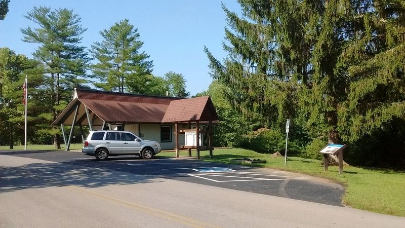
Location. 36° 35.079′ N, 84° 8.506′ W. Marker is near Jellico, Tennessee, in Campbell County. It is on Indian Mountain State Park Circle, on the left when traveling north. Marker is located in Indian Mountain State Park. Touch for map. Marker is in this post office area: Jellico TN 37762, United States of America. Touch for directions.

Regionally, this marker is in East Tennessee and in the Cumberland Plateau. It is also in the American
Photographed by Tom Bosse, July 4, 2018
2. Conflict in Campbell County Marker
Other nearby markers. At least 8 other markers are within 2 miles of this marker, measured as the crow flies: James (Jim) Tidwell, Jr. (approx. 0.8 miles away); Jellico Area Veterans Memorial (approx. 0.9 miles away); Tramell Building (approx. 0.9 miles away); Grace Moore (approx. 0.9 miles away); a different marker also named Grace Moore (approx. 0.9 miles away); Kirby Smith Invades Kentucky (approx. 0.9 miles away); Tennessee - Campbell County / Kentucky (approx. one mile away); Tennessee Civil War Trails (approx. 2 miles away). Touch for a list and map of all markers in Jellico.
Credits. This page was last revised on July 12, 2018. It was originally submitted on July 9, 2018, by Tom Bosse of Jefferson City, Tennessee. This page has been viewed 1,601 times since then and 118 times this year. Photos: 1, 2. submitted on July 9, 2018, by Tom Bosse of Jefferson City, Tennessee. • Andrew Ruppenstein was the editor who published this page.
