Rancho Cucamonga in San Bernardino County, California — The American West (Pacific Coastal)
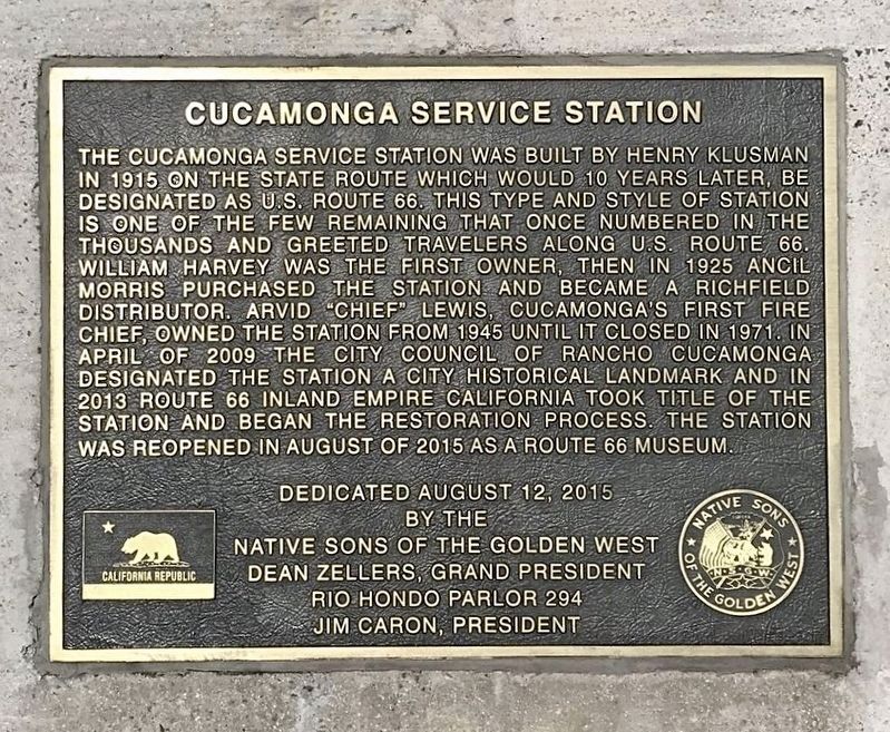
Cucamonga Service Station
Photographed by Adam Margolis, April 4, 2021
1. Cucamonga Service Station Marker
Erected 2015 by Native Sons of the Golden West, Dean Zellers Grand President; and Rio Hondo Parlor #294 (NSGW), Jim Caron, President.
Topics and series. This historical marker is listed in these topic lists: Industry & Commerce • Notable Places. In addition, it is included in the Native Sons/Daughters of the Golden West, and the U.S. Route 66
this page online
Location. 34° 6.406′ N, 117° 35.649′ W. Marker is in Rancho Cucamonga, California, in San Bernardino County. It is on Foothill Boulevard just west of Archibald Avenue, on the right when traveling west. Touch for map. Marker is at or near this postal address: 9670 Foothill Blvd, Rancho Cucamonga CA 91730, United States of America. Touch for directions.

Regionally, this marker is in Greater Los Angeles, in the Inland Empire, in the Peninsular Ranges, and specifically in the Transverse Ranges. It is also in the American Southwest. Globally, it is in North America, on the Ring of Fire, on the Pacific Rim, in the Western Hemisphere, in the Western World, and in the Anglosphere. Historically, it finds itself in what was once New Spain and also Mexico’s Alta California.
Other nearby markers. At least 8 other markers are within walking distance of this marker: City of Rancho Cucamonga Historic Landmark (2009) (a few steps from this marker); a different marker also named Cucamonga Service Station (a few steps from this marker); El Camino Real Bells (approx. ¼ mile away);
Photographed by Sylvia Alvarado, December 12, 2015
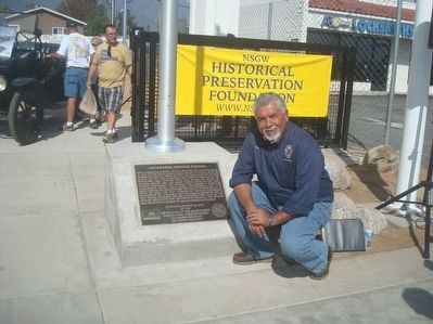
2. Marker
Grand Trustee Joe Castillo with the marker at the base of the flag pole.
Also see . . . Cucamonga Service Station. (Submitted on April 19, 2016.)
Photographed by Sylvia Alvarado, December 12, 2015
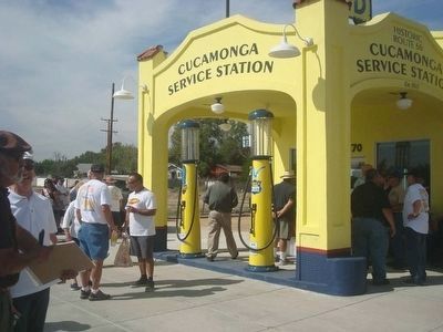
3. Cucamonga Service Station
Photographed by Adam Margolis, April 4, 2021
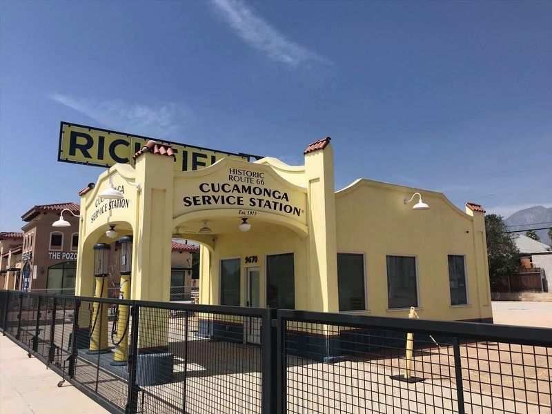
4. Cucamonga Service Station
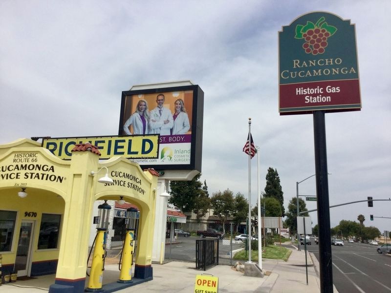
Photographed by Craig Baker, July 21, 2018
5. Street Sign
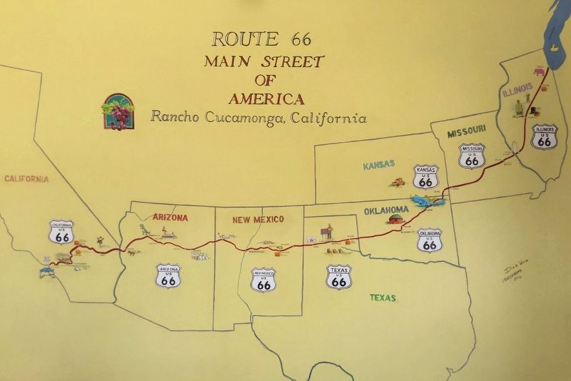
Photographed by Craig Baker, July 21, 2018
6. Mural, Inside the Station
Credits. This page was last revised on August 12, 2023. It was originally submitted on April 19, 2016, by James King of San Miguel, California. This page has been viewed 1,387 times since then and 70 times this year. Last updated on July 9, 2018, by Craig Baker of Sylmar, California. Photos: 1. submitted on August 10, 2023, by Adam Margolis of Mission Viejo, California. 2, 3. submitted on April 19, 2016, by James King of San Miguel, California. 4. submitted on August 10, 2023, by Adam Margolis of Mission Viejo, California. 5, 6. submitted on July 24, 2018, by Craig Baker of Sylmar, California. • Syd Whittle was the editor who published this page.
