Oatman in Mohave County, Arizona — The American Mountains (Southwest)
Oatman
Arizona Territory
| — | "The Ghost Town that refuses to die!" | — |

Photographed by Denise Boose, March 3, 2018
1. Oatman Marker
We burros can smell water 20 miles away. We carry our babies for 11 months. We first came to Oatman with early day prospectors hauling rock and ore inside the mines. Outside the mines we hauled water and supplies. As the mines closed we were released into the hills of Oatman. Our average life span is 30 to 35 years.
Erected by Oatman.
Topics and series. This historical marker is listed in these topic lists: Animals • Settlements & Settlers • War, World I. In addition, it is included in the U.S. Route 66 series list.
Location. 35° 1.565′ N, 114° 22.967′ W. Marker is in Oatman, Arizona, in Mohave County. It is on Main
this page online

Regionally, this marker is in Arizona’s Colorado River Valley. It is also in the American Southwest. Globally, it is in North America, the Western Hemisphere, the Western World, and the Anglosphere. Historically, it finds itself in what was once New Spain and also Mexico’s Alta California.
Other nearby markers. At least 8 other markers are within walking distance of this marker: Arizona Hotel (a few steps from this marker); Gold Mining Ghost Town, Oatman, Arizona (a few steps from this marker); Oatman Drug and Health Club (within shouting distance of this marker); Oatman Arizona and its Burros (within shouting distance of this marker); a different marker also named Oatman (within shouting distance of this marker); Fairchild, Olive and Oatman (1837 - 1903) (within shouting distance of this marker); Oatman, Arizona (within
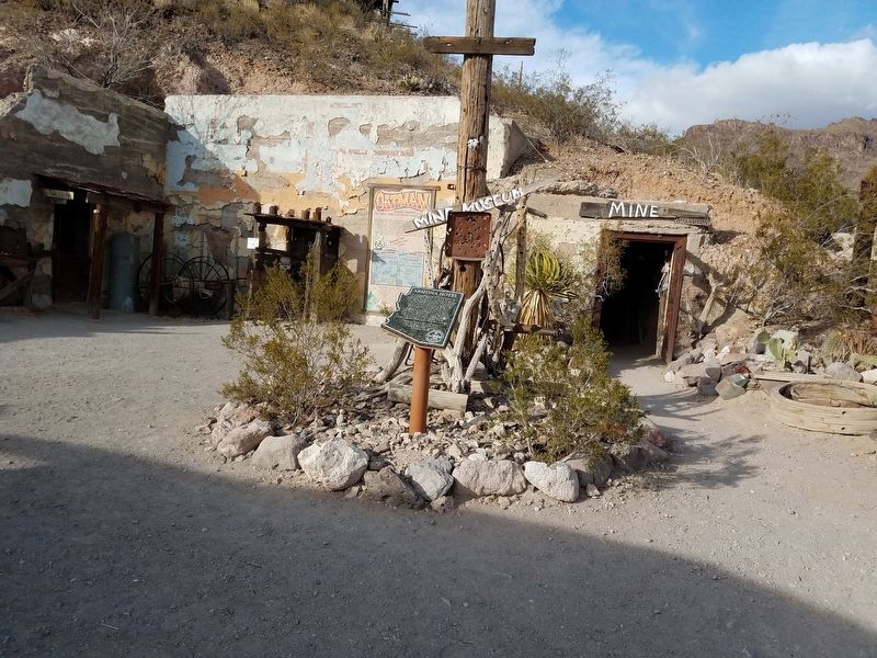
Photographed by Denise Boose, March 3, 2018
2. Oatman Marker
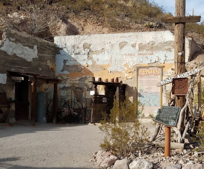
Photographed by Denise Boose, March 3, 2018
3. Oatman Marker

Photographed by Denise Boose, March 3, 2018
4. Oatman Mine

Photographed by Denise Boose, March 3, 2018
5. Oatman Mine
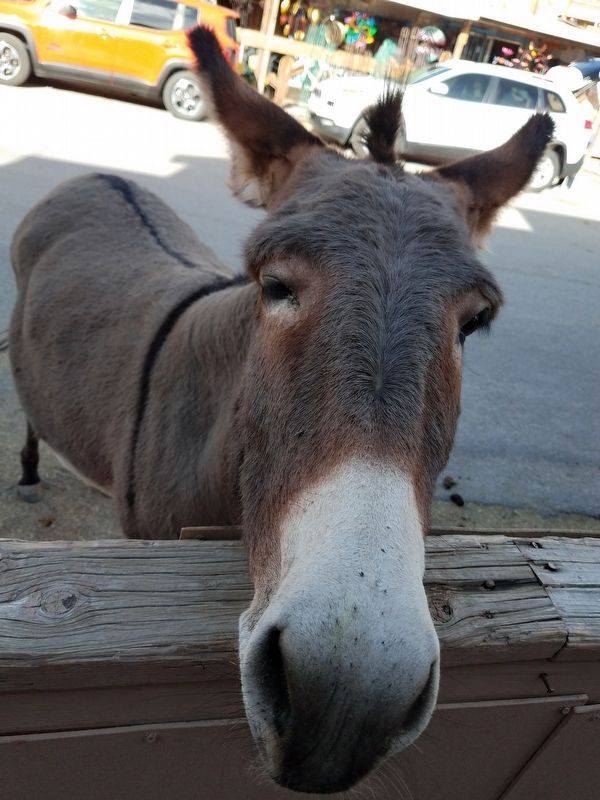
Photographed by Denise Boose, March 3, 2018
6. Oatman Resident
Credits. This page was last revised on May 30, 2026. It was originally submitted on March 10, 2018, by Denise Boose of Tehachapi, California. This page has been viewed 717 times since then and 55 times this year. Last updated on July 9, 2018, by Craig Baker of Sylmar, California. Photos: 1, 2, 3, 4, 5, 6. submitted on March 10, 2018, by Denise Boose of Tehachapi, California. • Syd Whittle was the editor who published this page.
