
Milford Center in Union County, Ohio — The American Midwest (Great Lakes)
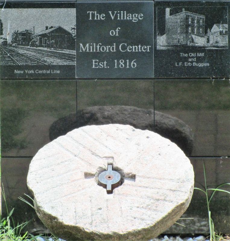
The Village of Milford Center
Est. 1816
Photographed by Rev. Ronald Irick, July 10, 2018
1. The Village of Milford Center Marker
close up, front side
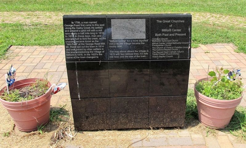
The map above shows the Village in 1870 with two railroad lines, ½ mile mill race, and the size of the town.
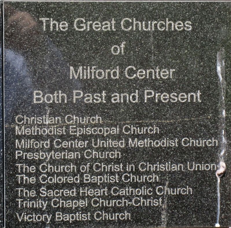
The Great Churches of Milford Center
both past and present
Christian Church
Methodist Episcopal Church
Milford Center United Methodist Church
Presbyterian Church
The Church of Christ in Christian Union
The Colored Baptist Church
The Sacred Heart Catholic Church
Trinity Chapel Church-Christ
Victory Baptist Church
Topics. This historical marker is listed in these topic lists: Industry & Commerce • Religion & Religious Structures • Settlements & Settlers. A significant historical year for this entry is 1799.
Location. 40° 10.778′ N,
this page online

Regionally, this marker is in the Till Plains and in the Columbus Metropolitan Area. It is also in the American Midwest and in the Corn Belt. Globally, it is in North America, the Western Hemisphere, the Western World, and the Anglosphere. Historically, it finds itself in what was once the Haudenosaunee (Iroquois) Confederacy, the territory of the Mississippian Culture, and the Northwest Territory.
Other nearby markers. At least 8 other markers are within 3 miles of this marker, measured as the crow flies: Honor Roll 1918 (a few steps from this marker); Union County’s First Courthouse (within shouting distance of this marker); Union Township Civil War Monument (approx. ¼ mile away); a different marker also named Union Township Civil War Monument
Photographed by Rev. Ronald Irick, July 10, 2018
2. The Village of Milford Center Marker
close up, back side
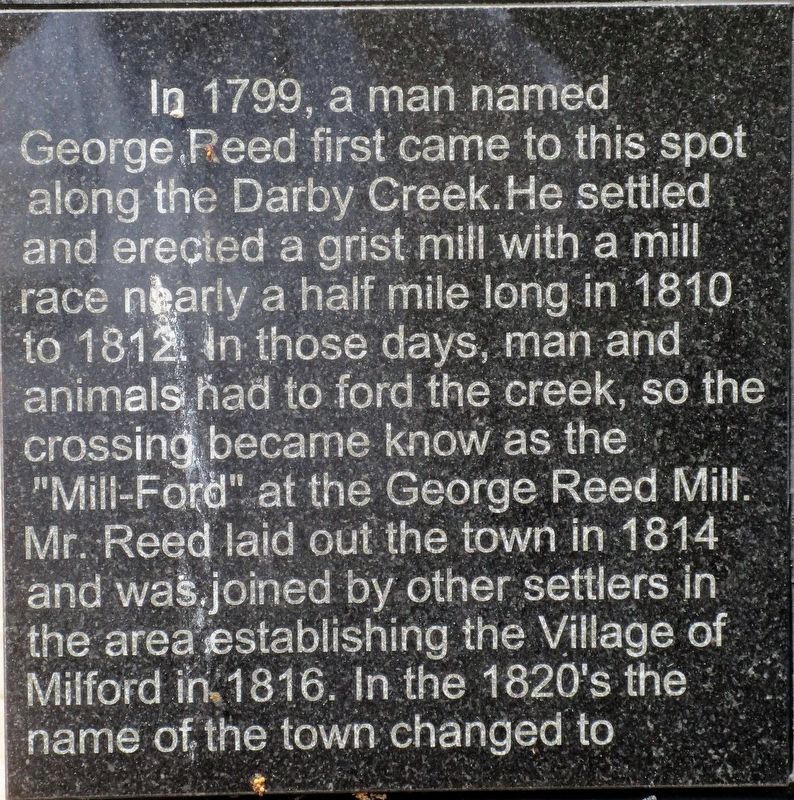
Photographed by Rev. Ronald Irick, July 10, 2018
3. The Village of Milford Center Marker
close up of text on back side
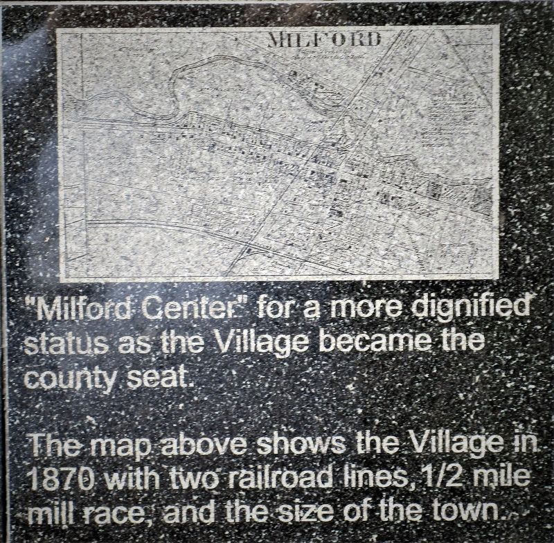
Photographed by Rev. Ronald Irick, July 10, 2018
4. The Village of Milford Center Marker
more text on back
Photographed by Rev. Ronald Irick, July 10, 2018
5. The Village of Milford Center Marker
Church text
Photographed by Rev. Ronald Irick, July 10, 2018
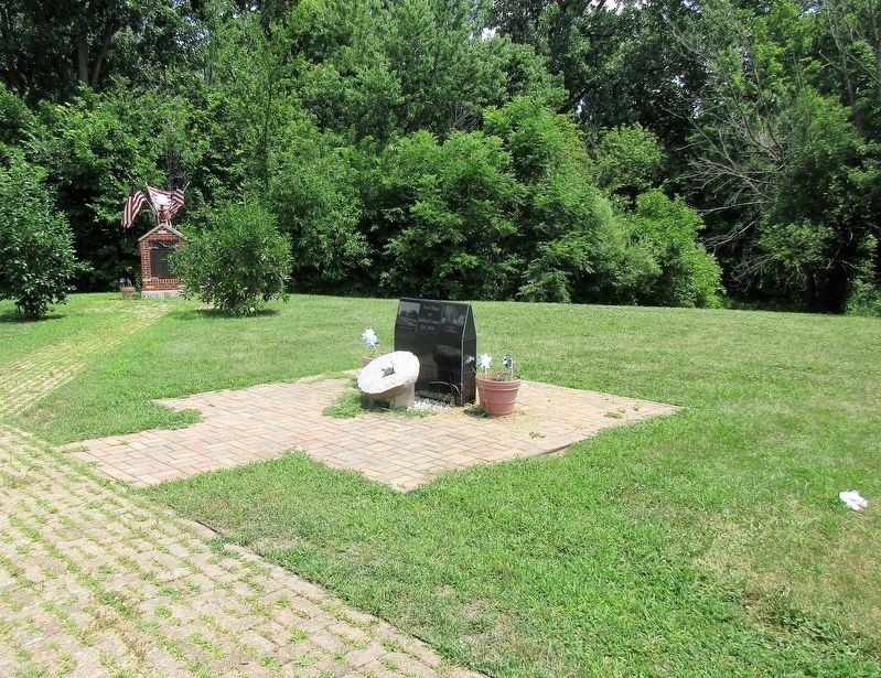
6. The Village of Milford Center Marker
as seen from a distance
Credits. This page was last revised on November 13, 2024. It was originally submitted on July 10, 2018, by Rev. Ronald Irick of West Liberty, Ohio. This page has been viewed 1,331 times since then and 78 times this year. Photos: 1, 2, 3, 4, 5, 6. submitted on July 10, 2018, by Rev. Ronald Irick of West Liberty, Ohio. • Andrew Ruppenstein was the editor who published this page.
