Clyde V. and Patricia Bennett Building
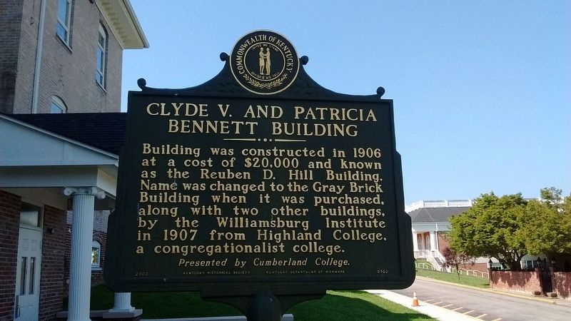
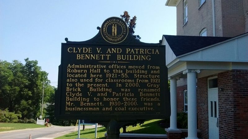
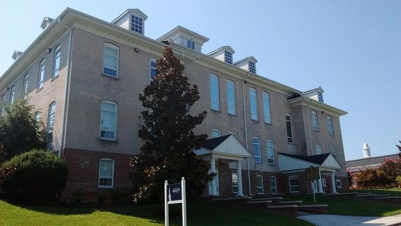
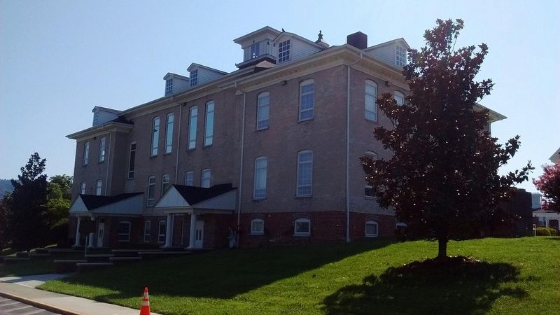
Clyde V. and Patricia Bennett Building - Administrative offices moved from Roburn Hall to this building and located here 1921-55. Structure also used for classrooms from 1921 to the present. In 2000, Gray Brick Building was renamed Clyde V. and Patricia Bennett Building to honor these friends. Mr. Bennett, 1930-2000, was a businessman and coal executive.
Erected 2003 by Kentucky Historical Society & Kentucky Department of Highways. (Marker Number 2102.)
Topics and series. This historical marker is listed in this topic list: Education. In addition, it is included in the Kentucky Historical Society series list. A significant historical year for this entry is 1906.
Location. 36° 44.257′ N, 84° 9.723′ W. Marker is in Williamsburg, Kentucky, in Whitley County. It is on Walnut Street, on the right when
this page online

Regionally, this marker is in Eastern Kentucky and in the Cumberland Plateau. It is also in the American South, specifically in the Upper South, in Appalachia, and specifically in Southern Appalachia. Globally, it is in North America, the Western Hemisphere, the Western World, and the Anglosphere. Historically, it finds itself in what was once the territory of the Mississippian Culture and also the Antebellum South.
Other nearby markers. At least 8 other markers are within walking distance of this marker: Roburn Hall (about 700 feet away, measured in a direct line); Cumberland College (approx. ¼ mile away); "Aunt Julia" Marcum (approx. 0.4 miles away); Scott's Raid (approx. 0.4 miles away); County Named, 1818 (approx. 0.4 miles away); Samuel Cox, 1756-1832 (approx. half a mile away); Roy Martis Chappell (approx. half a mile away); Historic Williamsburg (approx. 0.9 miles away). Touch for a list and map of all markers in Williamsburg.
Other markers no longer nearby. Gillespie Hall
Credits. This page was last revised on July 11, 2018. It was originally submitted on July 10, 2018, by Tom Bosse of Jefferson City, Tennessee. This page has been viewed 540 times since then and 39 times this year. Photos: 1, 2, 3, 4. submitted on July 10, 2018, by Tom Bosse of Jefferson City, Tennessee. • Andrew Ruppenstein was the editor who published this page.
