Montrose in Montrose County, Colorado — The American Mountains (Southwest)
Founding of Montrose
Photographed by Mark Hilton, July 8, 2018
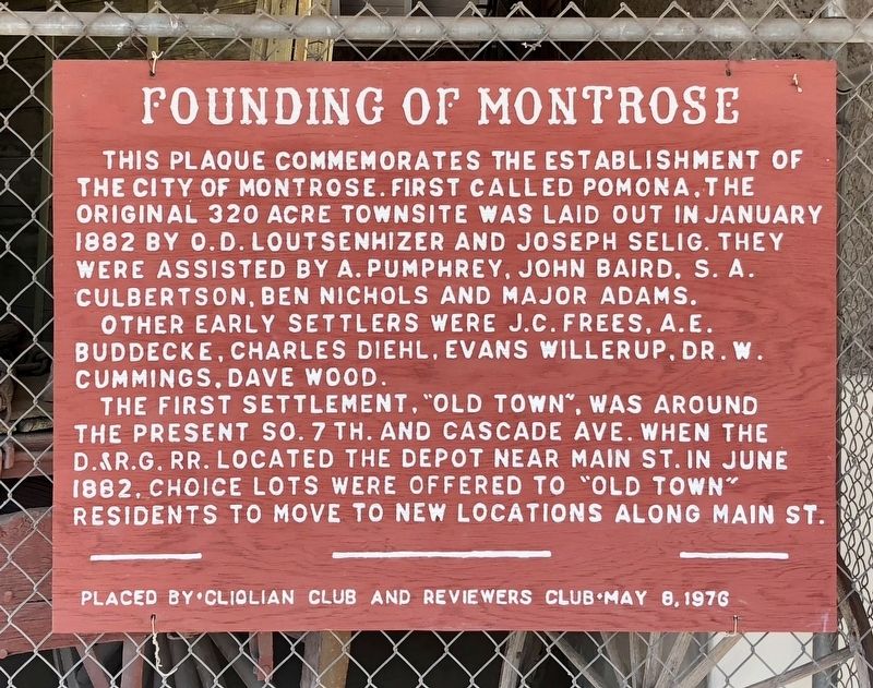
1. Founding of Montrose Marker
This plaque commemorates the establishment of the City of Montrose. First called Pomona, the original 320 acre townsite was laid out in January 1882 by O.D. Loutsenhizer and Joseph Selig. They were assisted by A. Pumphrey, John Baird, S. A. Culbertson, Ben Nichols and Major Adams.
Other early settlers were J.C. Frees, A. E. Buddecke, Charles Diehl, Evans Willerup, Dr. W. Cummings, Dave Wood.
The first settlement, "Old Town”, was around the present So. 7th. and Cascade Ave. When the D.&R.G. RR. located the depot near Main St. in June 1882, choice lots were offered to old town residents to move to new locations along Main St.
Erected 1976 by Cliolian Club and Reviewers Club.
Topics. This historical marker is listed in these topic lists: Railroads & Streetcars • Settlements & Settlers. A significant historical month for this entry is January 1882.
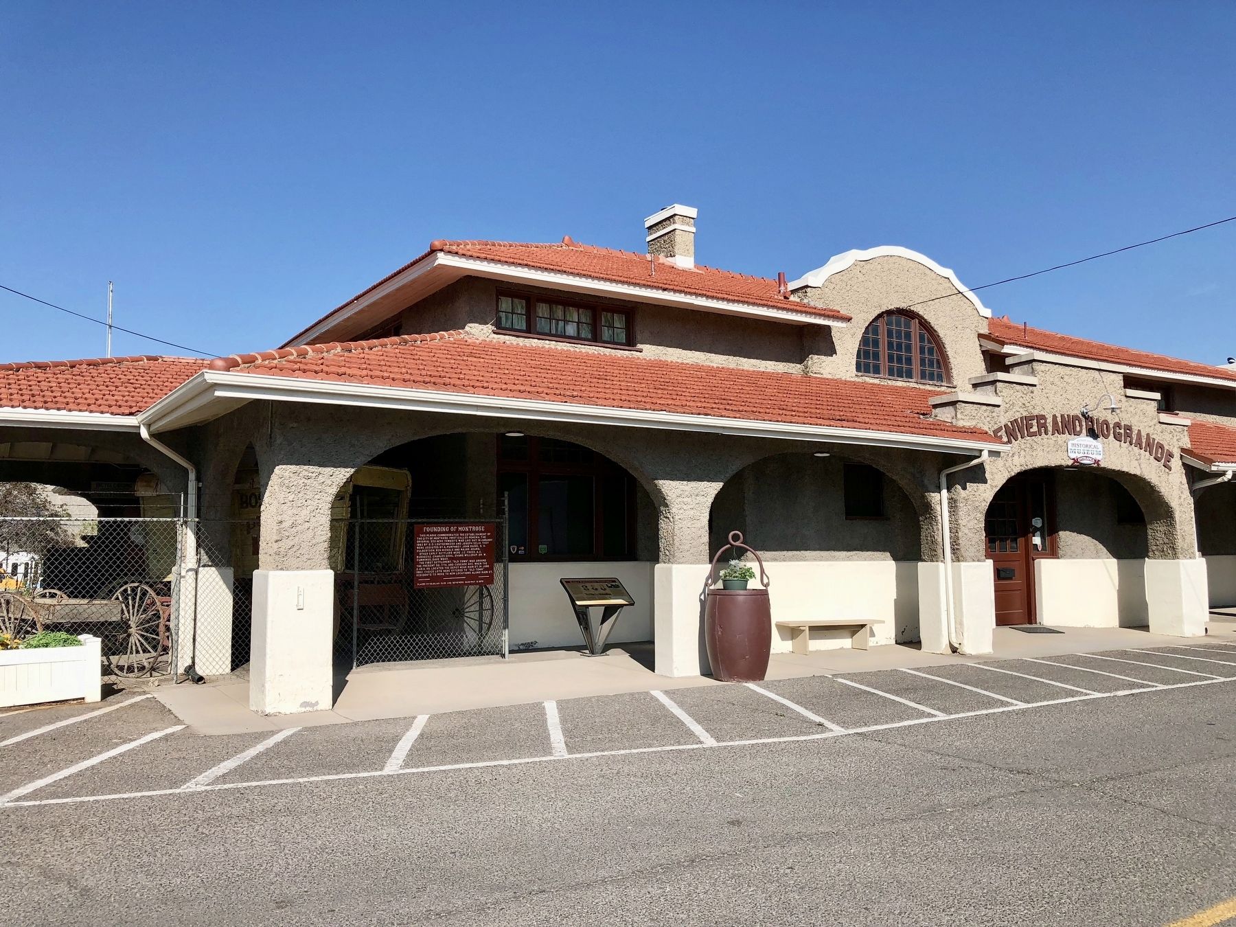
Location. 38° 28.681′ N, 107° 52.791′ W. Marker is in Montrose, Colorado, in Montrose County. It is on North Rio Grande Avenue north of West Main Street, on the left when traveling north. Located at the Montrose County Historical Museum (former
this page online

Regionally, this marker is in the Western Slope. It is also in the American Mountain West, on the Colorado Plateau, and at the Four Corners. Globally, it is in North America, the Rocky Mountains, the Western Hemisphere, the Western World, and the Anglosphere. Historically, it finds itself in what was once Mexico’s Alta California.
Other nearby markers. At least 8 other markers are within walking distance of this marker: Early Freighting Ventures (here, next to this marker); Preserving Our Heritage (a few steps from this marker); a different marker also named Preserving Our Heritage (about 400 feet away, measured in a direct line); The Gunnison Tunnel (about 600 feet away); a different marker also named Preserving Our Heritage (approx. 0.2 miles away); a different marker also named Preserving Our Heritage (approx. 0.2 miles away); Veterans Memorial (approx. 0.2 miles away); Instrument of Surrender (approx. 0.2 miles away). Touch for a list and map of all markers
Photographed by Mark Hilton, July 8, 2018
2. Founding of Montrose Marker at the former Denver & Rio Grande train depot.
Also see . . . History of Montrose - by the City of Montrose. (Submitted on July 10, 2018, by Mark Hilton of Montgomery, Alabama.)
Credits. This page was last revised on July 10, 2018. It was originally submitted on July 10, 2018, by Mark Hilton of Montgomery, Alabama. This page has been viewed 585 times since then and 30 times this year. Photos: 1, 2. submitted on July 10, 2018, by Mark Hilton of Montgomery, Alabama.
