Mankato in Blue Earth County, Minnesota — The American Midwest (Upper Plains)
Ray Erlandson Park
Photographed by Ruth VanSteenwyk, July 8, 2018
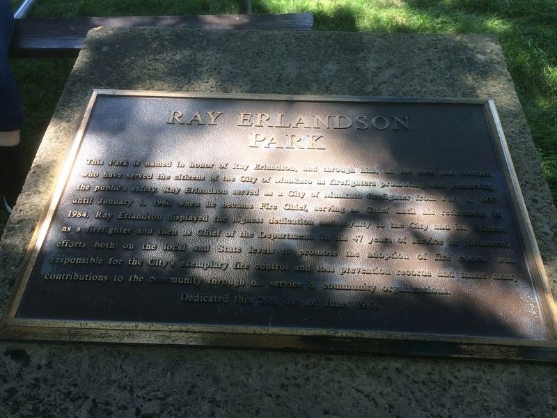
1. Ray Erlandson Park Marker
This Park is named in honor of Ray Erlandson, and through him, all the men and women who have served the citizens of the City of Mankato as firefighters promoting and preserving the public's safety. Ray Erlandson served as a City of Mankato firefighter from July 1, 1937 until January 1, 1960 when he became Fire Chief, serving as Chief until his retirement in 1984. Ray Erlandson displayed the highest dedication and loyalty to the City and its citizens as a firefighter and then as Chief of the Department. In his 47 years of service he pioneered efforts both on the local and State levels to promote the adoption of the fire code was responsible for the City's exemplary fire control and loss prevention records and made many contributions to the community through his service in community organizations.
Topics. This historical marker is listed in these topic lists: Charity & Public Work • Parks & Recreational Areas. A significant historical date for this entry is January 1, 1960.
Location. 44° 9.625′ N, 93° 58.452′ W. Marker is in Mankato, Minnesota, in Blue Earth County. It can be reached from N Belmont Drive. Marker is located in Erlandson
this page online

Regionally, this marker is in Southwest Minnesota and specifically in the Minnesota River Valley. It is also in the American Midwest and in the Corn Belt. Globally, it is in North America, the Western Hemisphere, the Western World, and the Anglosphere. Historically, it finds itself in what was once Rupert’s Land and also the territory of the Mississippian Culture.
Other nearby markers. At least 8 other markers are within 2 miles of this marker, measured as the crow flies: Highland Park (approx. 1.1 miles away); Washington Park / Fourth Street Route Depot Grounds (approx. 1.2 miles away); Blue Earth County Courthouse (approx. 1.3 miles away); Sinclair Lewis House (approx. 1.4 miles away); First Presbyterian Church (approx. 1.4 miles away); Amos Owen Garden of American Indian Horticulture (approx. 1.4 miles away); Native Americans (approx. 1½ miles away); Dakota (Sioux) Memorial – 1862 (approx. 1½ miles away). Touch for a list and map of all markers in Mankato.
Photographed by Ruth VanSteenwyk, July 8, 2018
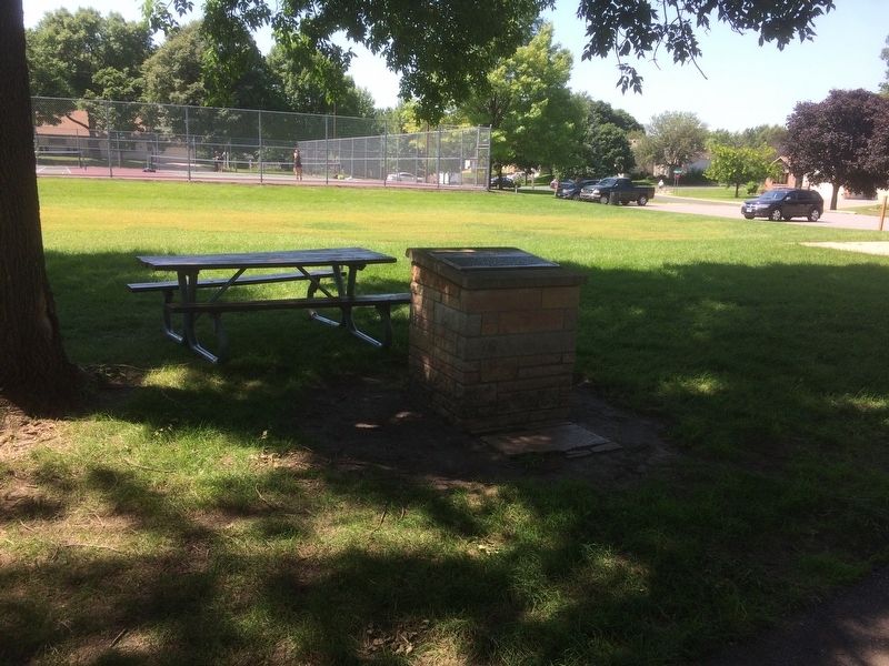
2. Ray Erlandson Park Marker
Credits. This page was last revised on November 12, 2024. It was originally submitted on July 10, 2018, by Ruth VanSteenwyk of Aberdeen, South Dakota. This page has been viewed 703 times since then and 39 times this year. Photos: 1, 2. submitted on July 10, 2018, by Ruth VanSteenwyk of Aberdeen, South Dakota. • Andrew Ruppenstein was the editor who published this page.
