Warnerville in Schoharie County, New York — The American Northeast (Mid-Atlantic)
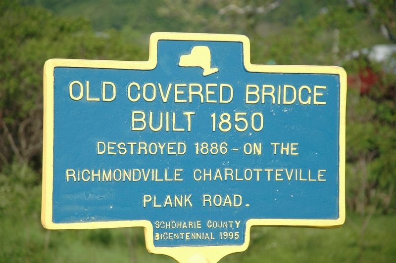
Old Covered Bridge
Built 1850
Destroyed 1886 - On The
Richmondville Charlotteville
Plank Road.
Erected 1995 by Schoharie County Bicentennial.
Topics and series. This historical marker is listed in these topic lists: Bridges & Viaducts • Roads & Vehicles. In addition, it is included in the Covered Bridges series list. A significant historical year for this entry is 1850.
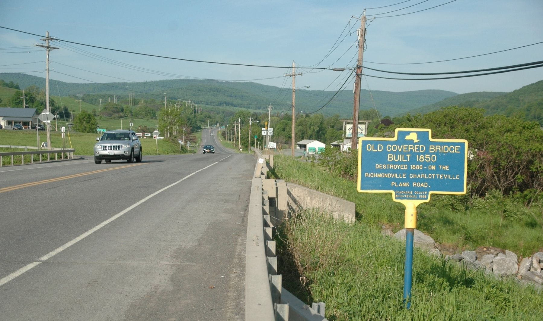
Location. 42° 38.626′ N, 74° 32.14′ W. Marker is in Warnerville, New York, in Schoharie County. Marker is at the intersection of New York State Route 7 and Beards Hollow Road (County Route 23), on the right when traveling west on State Route 7. Touch for map. Marker is in this post office area: Warnerville NY 12187, United States of America. Touch for directions.
Other nearby markers. At least 8 other markers are within 2 miles of this marker, measured as the crow flies. Battle of Cobleskill (approx. 0.6 miles away); Warnerville Union Literary Seminary (approx. 1.2 miles away); Nicolas Warner (approx. 1.2 miles away); Old Paper Mill (approx. 1˝ miles away); Geo. Dox Tavern (approx. 1.6 miles away); Carolyn Olendorf (approx. 1.6 miles away); 2 Richmondville Seminaries (approx. 1.6 miles away); Hon. John Westover Residence (approx. 1.7 miles away).
Related marker. Click here for another marker that is related to this marker. Another marker that relates to the Richmondville Charlotteville Plank Road
Credits. This page was last revised on August 30, 2022. It was originally submitted on July 11, 2018, by Howard C. Ohlhous of Duanesburg, New York. This page has been viewed 217 times since then and 16 times this year. Photos: 1, 2. submitted on July 11, 2018, by Howard C. Ohlhous of Duanesburg, New York. • Andrew Ruppenstein was the editor who published this page.

