Daingerfield in Morris County, Texas — The American South (West South Central)
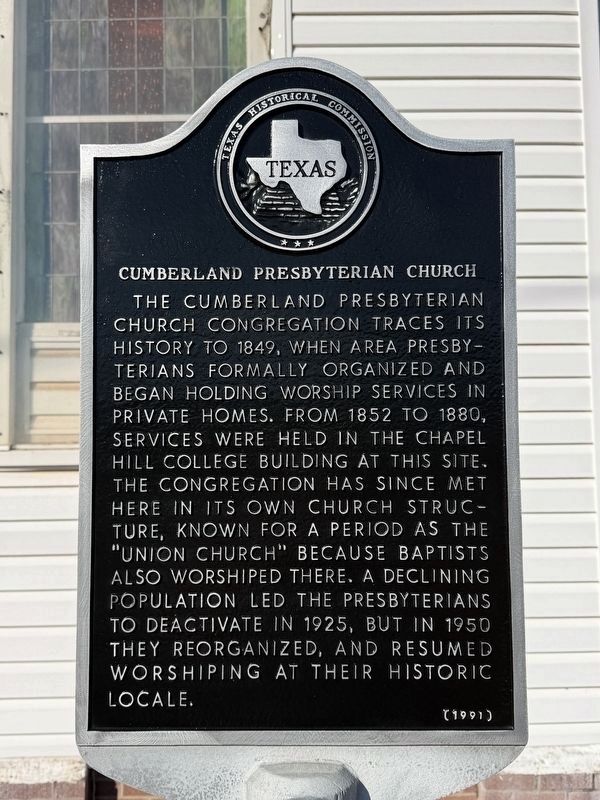
Cumberland Presbyterian Church
Photographed by Gary Estep, February 2, 2026
1. Cumberland Presbyterian Church Marker
Erected 1991 by Texas Historical Commission. (Marker Number 7846.)
Topics. This historical marker is listed in this topic list: Religion & Religious Structures. A significant historical year for this entry is 1849.
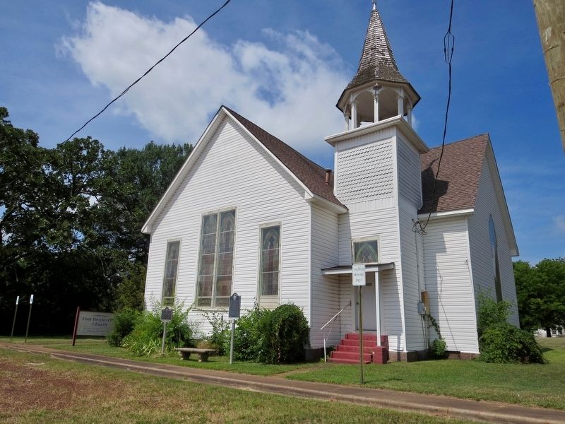
Location. 33° 2.048′ N, 94° 43.566′ W. Marker is in Daingerfield, Texas, in Morris County. It is at the intersection of Broadnax Street (U.S. 259) and Taylor Street, on the right when traveling south on Broadnax Street. Located in front of Cumberland First Presbyterian Church. Touch for map. Marker is at or near this postal address: 509 Taylor Street, Daingerfield TX 75638, United States of America.
this page online

Regionally, this marker is in the American South, specifically in the Deep South, and in the Piney Woods. Globally, it is in North America, a Gulf of Mexico state, the Western Hemisphere, the Western World, and the Anglosphere. Historically, it finds itself in what was once New Spain, the Republic of Texas, one of the Confederate States of America, and the Antebellum South.
Other nearby markers. At least 8 other markers are within 6 miles of this marker, measured as the crow flies: Site of Chapel Hill College (here, next to this marker); Veteran of the American Revolution James Thompson (about 700 feet away, measured in a direct line); Daingerfield, C. S. A. (approx. 0.2 miles away); Morris County (approx. 0.2 miles away); Rev. Nathan S. Johnson (approx. 0.2 miles away); Site of Hussey & Logan's Mill and Gin Factory (approx. ¼ mile away); Caddo Trace (approx. 2.7 miles away); Chalybeate Springs (approx. 6 miles away). Touch for a list and map of all markers in Daingerfield.
Photographed by Mark Hilton, June 25, 2018
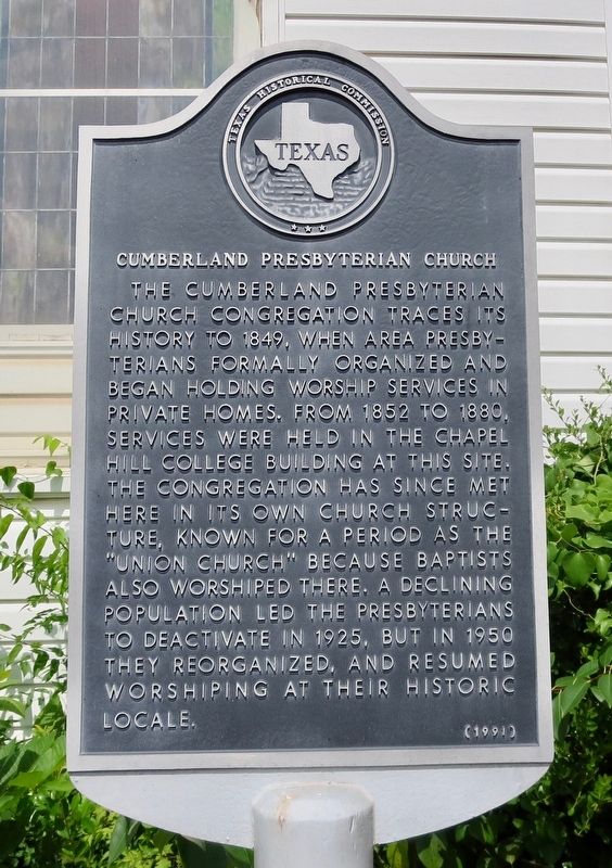
2. Cumberland Presbyterian Church Marker
Photographed by Mark Hilton, June 25, 2018
3. Cumberland Presbyterian Church Marker is on the right.
Credits. This page was last revised on February 3, 2026. It was originally submitted on July 11, 2018, by Mark Hilton of Montgomery, Alabama. This page has been viewed 964 times since then and 90 times this year. Photos: 1. submitted on February 3, 2026, by Gary Estep of Anna, Texas. 2, 3. submitted on July 11, 2018, by Mark Hilton of Montgomery, Alabama.
