Fayetteville in Fayette County, Georgia — The American South (South Atlantic)
Hopeful Primitive Baptist Church
Photographed by J. Makali Bruton, July 3, 2018
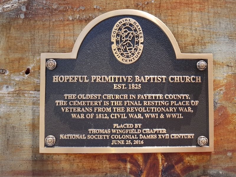
1. Hopeful Primitive Baptist Church Marker
Est. 1825
The oldest church in Fayette County.
The cemetery is the final resting place of
veterans from the Revolutionary War,
War of 1812, Civil War, WWI & WWII.
Placed by
Thomas Wingfield Chapter
National Society Colonial Dames XVII Century
June 25, 2016
Erected 2016 by National Society Colonial Dames XVII Century.
Topics and series. This historical marker is listed in these topic lists: Religion & Religious Structures • War of 1812 • War, US Civil • War, US Revolutionary. In addition, it is included in the The Colonial Dames XVII Century, National Society series list. A significant historical date for this entry is June 25, 2016.
Location. Marker has been reported missing. It was located near 33° 30.633′ N, 84° 29.896′ W. Marker was in Fayetteville, Georgia, in Fayette County. It was at the intersection of Highway 92 (Georgia Route 92) and New Hope Road, on the right when traveling north on Highway 92. Touch for map. Marker was in this post office area: Fayetteville GA 30214, United States of America. Touch for directions.

Regionally, this marker was in the Piedmont and in Metro
this page online
Other nearby markers. At least 8 other markers are within 5 miles of this location, measured as the crow flies: Howard's March to Jonesboro (approx. 4.1 miles away); Bethsaida Baptist Church and Cemetery (approx. 4.1 miles away); Flat Rock African Methodist Episcopal Church (approx. 4.7 miles away); Grady L. Huddleston (approx. 4.8 miles away); The Holliday-Dorsey-Fife House (approx. 5 miles away); Fayette County (approx. 5 miles away); In Memory of the Confederate Heroes (approx. 5 miles away); Fayette County Veterans Memorial (approx. 5 miles away). Touch for a list and map of all markers in Fayetteville.
Regarding Hopeful Primitive Baptist Church. The church was formed only four years after the 1821 Creek cession of lands in this area of Georgia.
Photographed by J. Makali Bruton, July 3, 2018
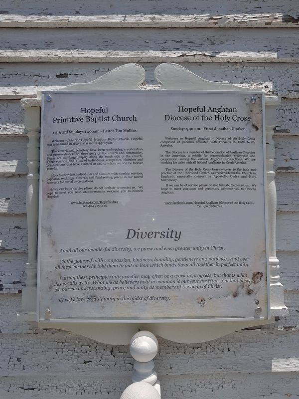
2. Hopeful Primitive Baptist Church informational sign
The church is home to both the Hopeful Primitive Baptist Church and the Hopeful Anglican Diocese of the Holy Cross.
Additional commentary.
1. Has this marker been moved?
I was recently passing through the area (January 2026) and stopped to tour the church’s cemetery. I spent nearly an hour walking around the property & cemetery, and could not locate the historical marker.
— Submitted August 2, 2026.
Photographed by J. Makali Bruton, July 3, 2018
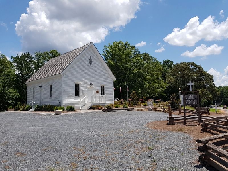
3. Hopeful Primitive Baptist Church and Marker
The marker is to the right of the church's entrance.
Photographed by J. Makali Bruton, July 3, 2018
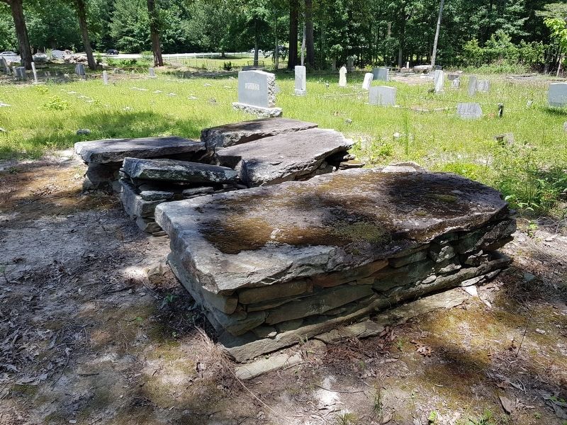
4. A view of older graves at the Hopeful Primitive Baptist Church Cemetery
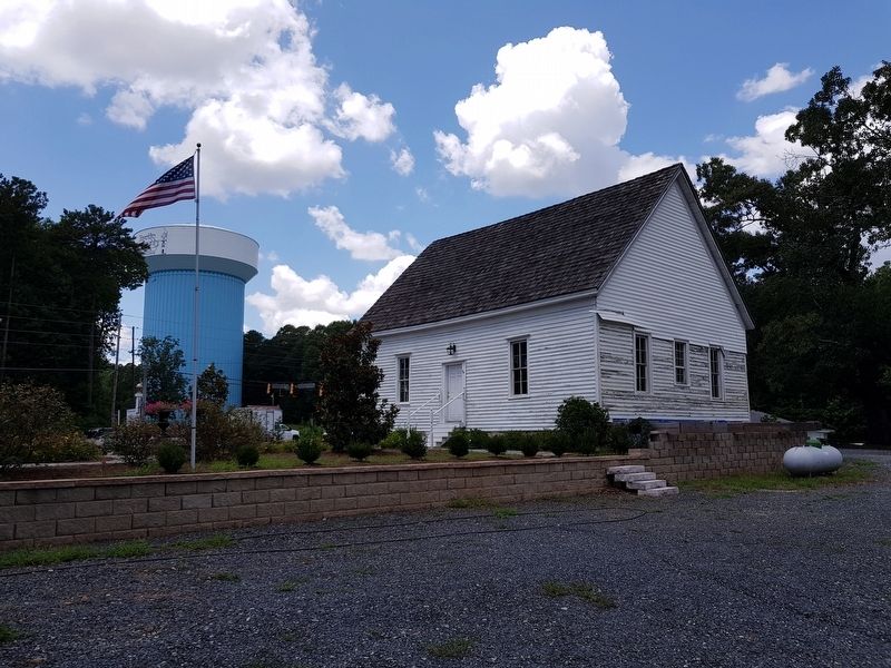
Photographed by J. Makali Bruton, July 3, 2018
5. Hopeful Primitive Baptist Church in a view from behind the church
Credits. This page was last revised on August 3, 2026. It was originally submitted on July 12, 2018, by J. Makali Bruton of Washington, District of Columbia. This page has been viewed 1,308 times since then and 128 times this year. Photos: 1, 2, 3, 4, 5. submitted on July 12, 2018, by J. Makali Bruton of Washington, District of Columbia.
