City of London in Greater London, England, United Kingdom — Northwestern Europe (the British Isles)
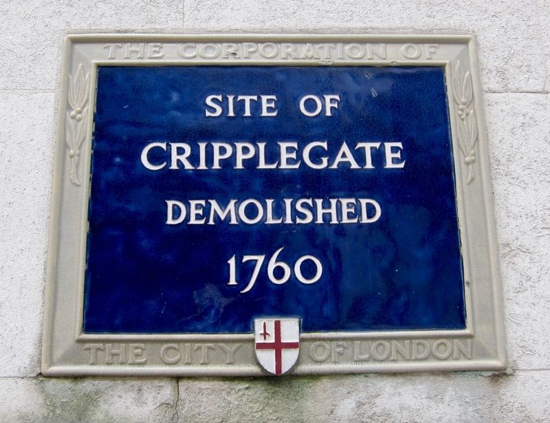
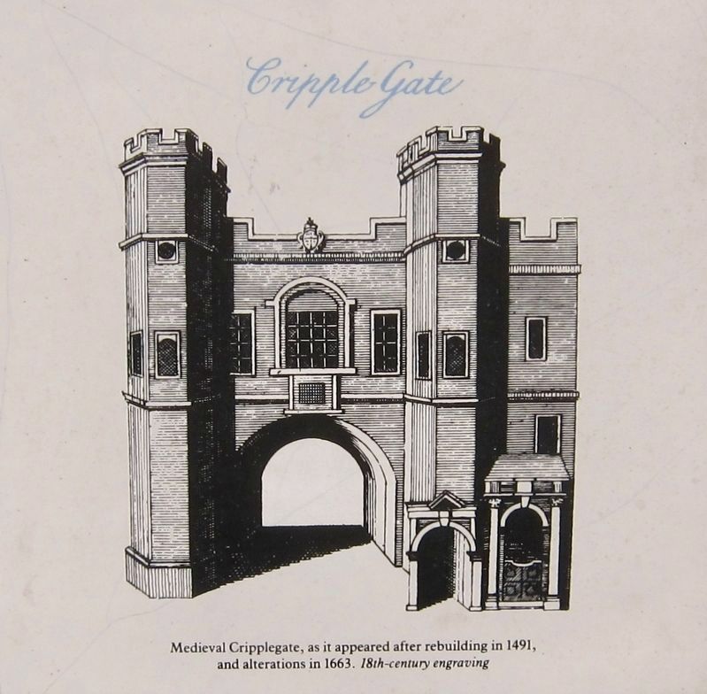
Cripplegate
Cripplegate
Demolished
1760
Erected by City of London Corporation.
Topics and series. This historical marker is listed in this topic list: Forts and Castles. In addition, it is included in the UK, England, City of London Corporation series list. A significant historical year for this entry is 1760.
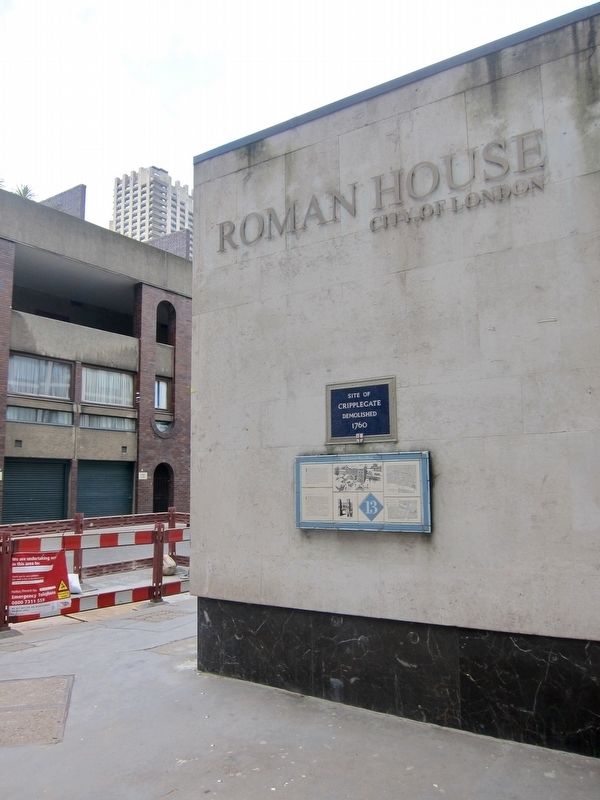
Location. 51° 31.088′ N, 0° 5.586′ W. Marker is in City of London, England, in Greater London. Marker is at the intersection of Wood Street and St Alphage Garden, on the left when traveling south on Wood Street. Touch for map. Marker is in this post office area: City of London, England EC2Y 5BA, United Kingdom. Touch for directions.
Other nearby markers. At least 8 other markers are within walking distance of this marker. Site of First Bomb Hit (within shouting distance of this marker); The Salters Garden (within shouting distance of this marker); The London Wall Walk - 14 (within shouting distance of this marker); The London Wall Walk – 15 (about 120 meters away, measured in a direct line); London City Wall - Bastion 13 (about 120 meters away); London City Wall - Bastion 14 (about 150 meters away); The London Wall Walk – 18 (about 150 meters away); William Shakespeare (about 180 meters away). Touch for a list and map of all markers in City of London.
Also see . . . Cripplegate (Wikipedia). (Submitted on July 13, 2018.)
Credits. This page was last revised on January 27, 2022. It was originally submitted on July 13, 2018, by Andrew Ruppenstein of Lamorinda, California. This page has been viewed 150 times since then and 12 times this year. Photos: 1, 2, 3. submitted on July 13, 2018, by Andrew Ruppenstein of Lamorinda, California.


