Watertown in Codington County, South Dakota — The American Midwest (Upper Plains)
Commercial Historic District
The construction of the Mellette and Granite Blocks at the corner of Broadway and Kemp established a new financial center. This drew development beyond the traditional "main street" area built near the railroad tracks. The construction of two such prominent buildings reflected the optimism and confidence that characterized Watertown in the 1880s. The opening of the Sisseton-Wahpeton reservation in 1892 and the arrival of new settlers further encouraged development along Kemp Avenue.
Avenues and streets were originally named for prominent men in Watertown's formation, trees, and animals. This system caused confusion because it did not allow for distances or directions. In 1906, most street names were changed to a numerical order for simplicity.
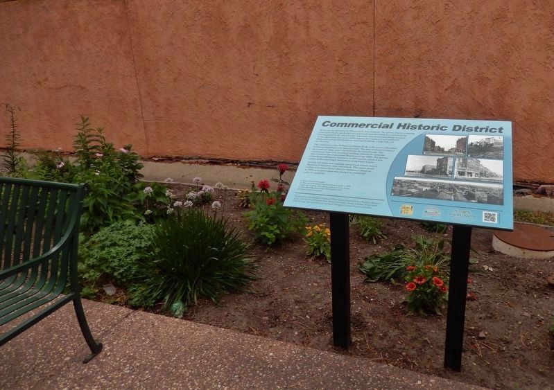
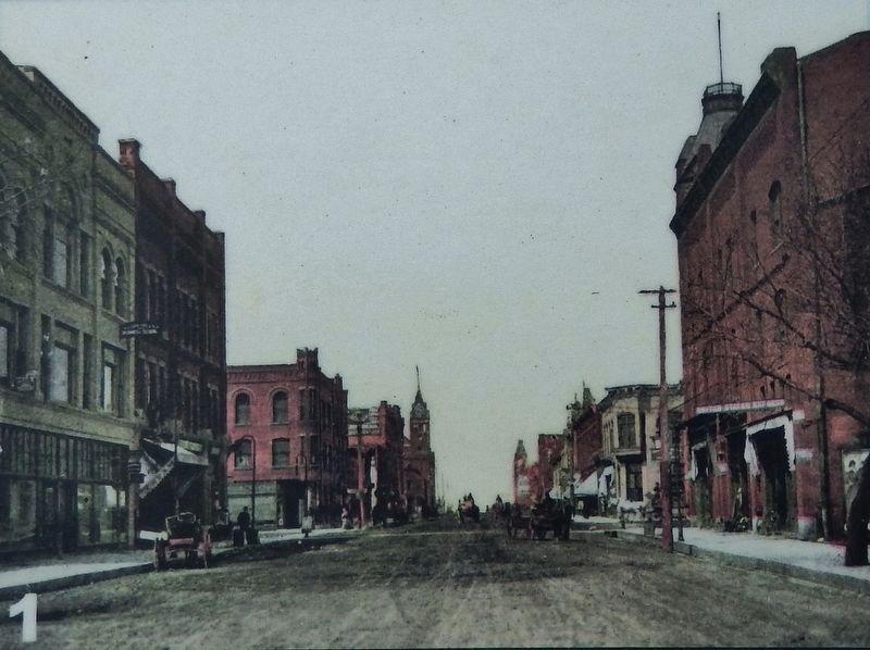
1. Kemp Avenue looking west.
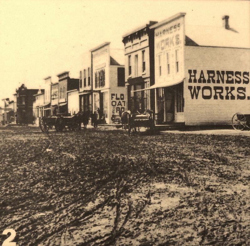
2. West side of Broadway (Oak Street) looking south in 1879.
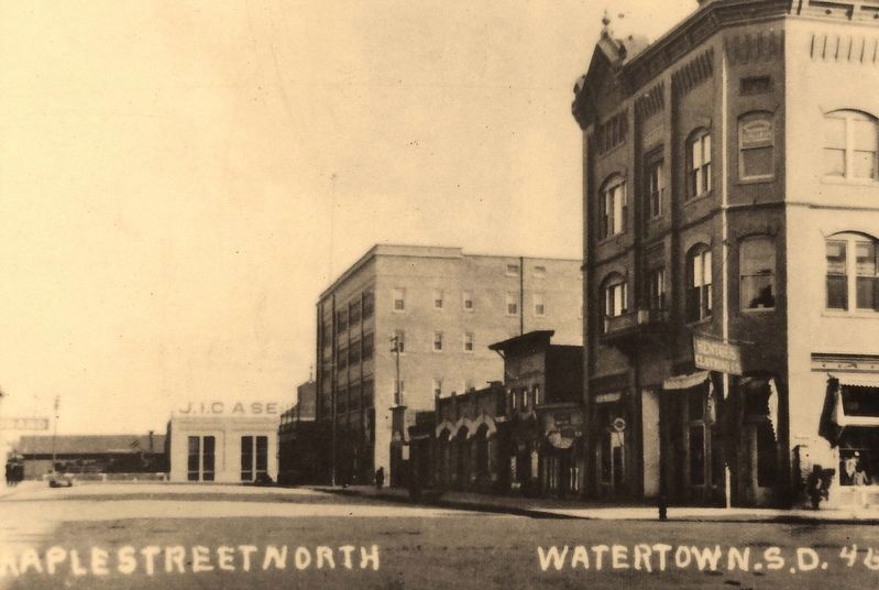
3. East side of Maple Street looking north from Kemp Avenue.
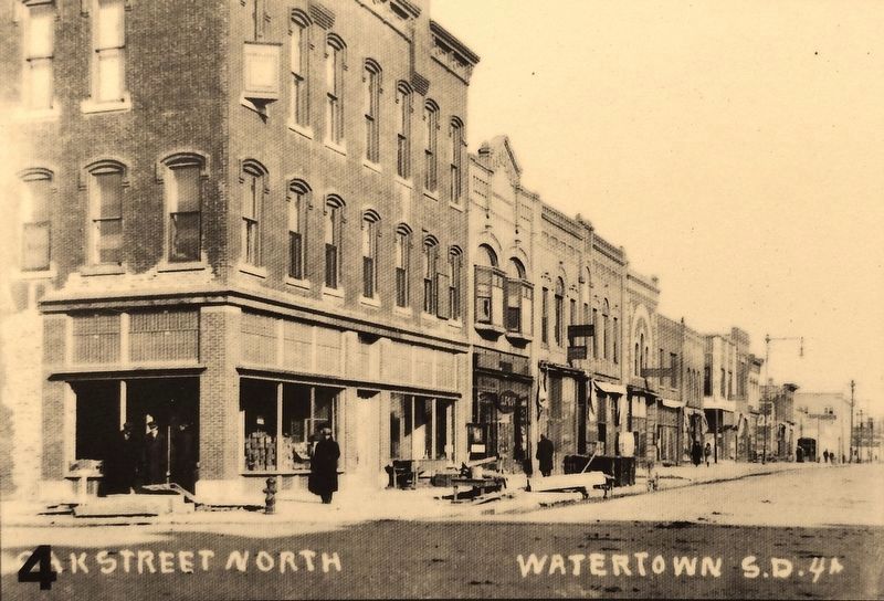
4. West side of Broadway (Oak Street) looking north.
5. Kemp Avenue looking east.
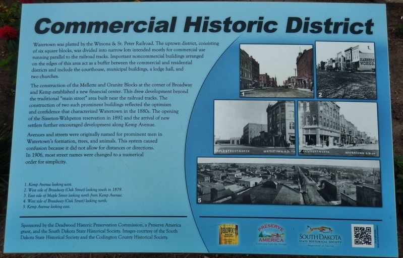
Sponsored by the Deadwood Historic Preservation Commission, a Preserve America grant, and the South Dakota State Historical Society.
Images courtesy of the South Dakota State Historical Society and the Codington County Historical Society.
Erected by Deadwood Historic Preservation Commission, a Preserve America grant, and the South Dakota State Historical Society.
Topics and series. This historical marker is listed in these topic lists: Industry & Commerce • Railroads & Streetcars • Settlements & Settlers. In addition, it is included in the National Register of Historic Places series list.
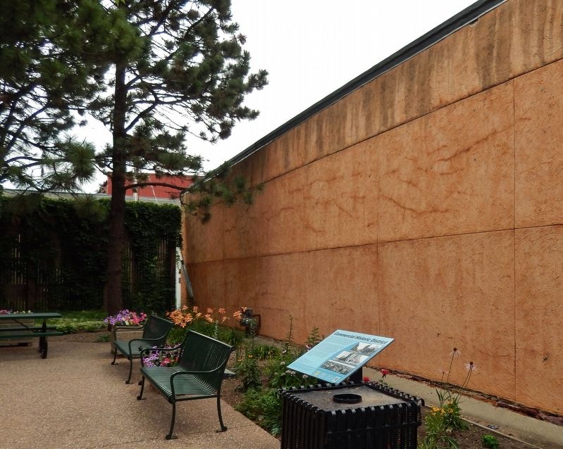
Location. 44° 54.022′ N, 97° 6.802′ W. Marker is in Watertown, South Dakota, in Codington County. Marker is on East Kemp Avenue east of North Maple, on the right when traveling east. Marker is located within a small outdoor plaza at this address. Touch for map. Marker is at or near this postal address: 15 East Kemp Avenue, Watertown SD 57201, United States of America. Touch for directions.
Other nearby markers. At least 8 other markers are within walking distance of this marker. Maurice Hockman (a few steps from this marker); Saloon (within shouting distance of this marker); Kennedy and Gayman Restaurant or Bakery (within shouting distance of this marker); Retail Building (within shouting distance of this marker); Mercer Block (within shouting distance of this marker); M.D. Alexander's Furniture Store (within shouting distance of this marker); a different marker also named Retail Building (within shouting distance of this marker); a different marker also named Retail Building (within shouting distance of this marker). Touch for a list and map of all markers in Watertown.
Related markers. Click here for a list of markers that are related to this marker. Watertown Commercial Historic District
Also see . . .
1. Watertown Commercial Historic District. The Watertown Commercial Historic District is a 22 acres historic district in Watertown, South Dakota. It is roughly bounded by First Ave. N., Third St. E., Second Ave. S., and First St. W. It includes works by Watertown architect Maurice A. Hockman. It includes 69 contributing buildings and 47 non-contributing ones. It includes the Codington County Courthouse and the Carnegie Free Public Library, which are separately listed on the National Register. (Submitted on July 16, 2018, by Cosmos Mariner of Cape Canaveral, Florida.)
2. Watertown, South Dakota. Watertown was founded in 1879 as a rail terminus when the Chicago & Northwestern Railroad reactivated part of a line it had constructed to Lake Kampeska. Despite the prominence of rivers and lakes in the area, the city was named after Watertown, New York, the hometown of brothers John E. Kemp and Oscar P. Kemp, two of the city's founders. The town's name was originally planned to be named Kampeska. During the 1880s, Watertown prospered as a transportation hub after the railroads had been extended farther west. Along with several other cities, Watertown had been a candidate as capital of the new state of South Dakota, although it lost out to the more centrally located Pierre. (Submitted on October 10, 2018, by Cosmos Mariner of Cape Canaveral, Florida.)
Credits. This page was last revised on August 21, 2020. It was originally submitted on July 13, 2018, by Cosmos Mariner of Cape Canaveral, Florida. This page has been viewed 198 times since then and 34 times this year. Photos: 1. submitted on July 16, 2018, by Cosmos Mariner of Cape Canaveral, Florida. 2. submitted on August 14, 2018, by Cosmos Mariner of Cape Canaveral, Florida. 3, 4, 5, 6. submitted on July 16, 2018, by Cosmos Mariner of Cape Canaveral, Florida. 7. submitted on August 14, 2018, by Cosmos Mariner of Cape Canaveral, Florida. 8. submitted on July 16, 2018, by Cosmos Mariner of Cape Canaveral, Florida. • Bill Pfingsten was the editor who published this page.
