Montrose in Montrose County, Colorado — The American Mountains (Southwest)
Preserving Our Heritage
Within a few years, one generation passes and another comes on the scene. If those who follow are to have any notion of what it was that went before, it must fall to those who possess a tie to the past to preserve what may be known. In that spirit, the people of Montrose, Colorado, endeavored in 1997 to document and record the history of the region and town.
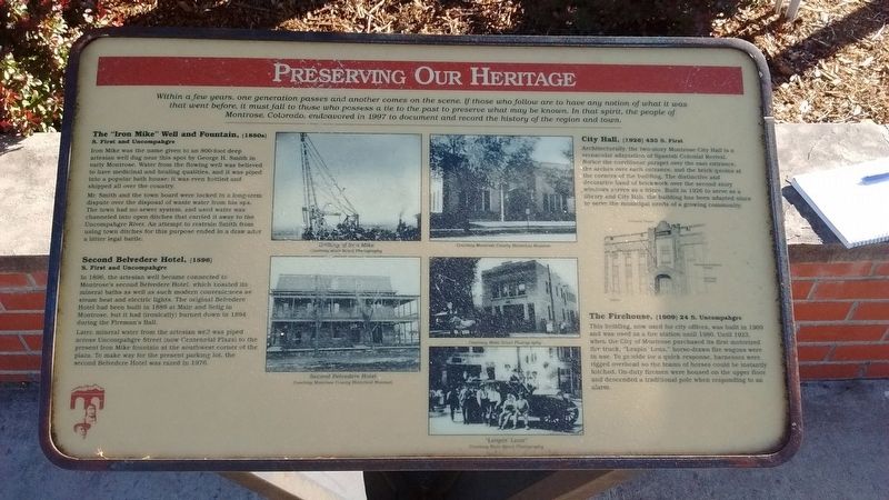
The "Iron Mike" Well and Fountain, (1880s)
S. First and Uncompahgre
Iron Mike was the name given to an 800-foot deep artesian well dug near this spot by George H. Smith in early Montrose. Water from the flowing well was believed to have medicinal and healing qualities, and it was piped into a popular bath house; it was even bottled and shipped all over the country.
Mr. Smith and the town board were locked in a long-term dispute over the disposal of waste water from his spa. The town had no sewer system, and used water was channeled into open ditches that carried it away to the Uncompahgre River. An attempt to restrain Smith from using town ditches for this purpose ended in a draw after a bitter legal battle.
Second Belvedere Hotel, (1896)
S. First and Uncompahgre
In 1896, the artesian well became connected to Montrose's second Belvedere Hotel, which boasted its mineral baths as well as such modern conveniences as steam heat and electric lights. The original Belvedere Hotel had been built in 1889 at Main and Selig in Montrose, but it had (ironically) burned down in 1894 during the Fireman's Ball.
Later, mineral water from the artesian well was piped across Uncompahgre Street (now Centennial Plaza) to the present Iron Mike fountain at the southwest corner of the plaza. To make way for the present parking lot, the second Belvedere Hotel was razed in 1976.
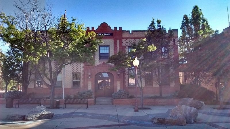
City Hall, (1926) 433 S. First
Architecturally, the two-story Montrose City Hall vernacular adaptation of Spanish Colonial Revival. Notice the curvilinear parapet over the east entrance, the arches over each entrance, and the brick quoins at the corners of the building. The distinctive and decorative band of brickwork over the second story windows serves as a frieze. Built in 1926 to serve as a library and City Hall, the building has been adapted since to serve the municipal needs of a growing community.
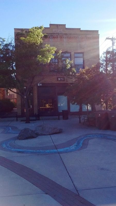
The Firehouse, (1909) 24 S. Uncompahgre
This building, now used for city offices, was built in 1909 and was used as a fire station until 1980. Until 1923, when the City of Montrose purchased its first motorized fire truck, "Leapin' Lena", horse-drawn fire wagons were in use. To provide for a quick response, harnesses were rigged overhead so the teams of horses could be instantly hitched. On-duty firemen were housed on the upper floor and descended a traditional pole when responding to an alarm.
Topics and series. This historical marker is listed in these topic lists: Architecture • Notable Buildings. In addition, it is included in the Colorado - Montrose - Preserving Our Heritage series list.
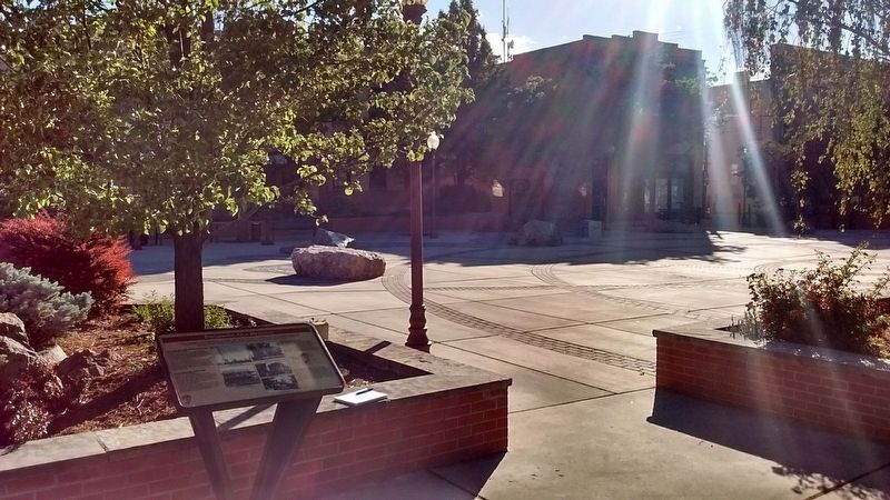
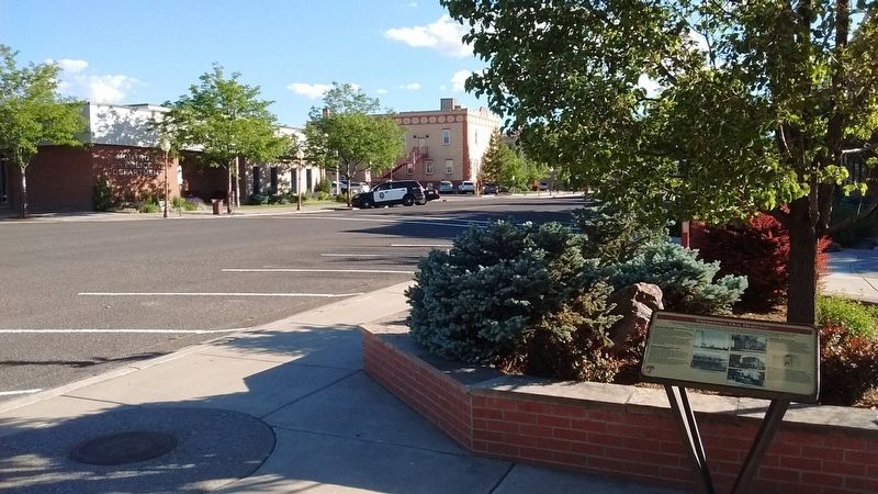
Location. 38° 28.771′ N, 107° 52.494′ W. Marker is in Montrose, Colorado, in Montrose County. Marker is at the intersection of South First Street and South Uncompahgre Avenue, on the left when traveling north on South First Street. Marker is located in Centennial Plaza. Touch for map. Marker is in this post office area: Montrose CO 81401, United States of America. Touch for directions.
Other nearby markers. At least 8 other markers are within walking distance of this marker. The Winds of Change (within shouting distance of this marker); a different marker also named Preserving Our Heritage (about 400 feet away, measured in a direct line); a different marker also named Preserving Our Heritage (about 400 feet away); a different marker also named Preserving Our Heritage (about 400 feet away); The Methodist Episcopal Church (about 500 feet away); What's in a Name? (about 600 feet away); a different marker also named Preserving Our Heritage (about 600 feet away); a different marker also named Preserving Our Heritage (about 700 feet away). Touch for a list and map of all markers in Montrose.
Credits. This page was last revised on July 18, 2018. It was originally submitted on July 14, 2018, by Tom Bosse of Jefferson City, Tennessee. This page has been viewed 216 times since then and 28 times this year. Photos: 1, 2, 3, 4, 5. submitted on July 14, 2018, by Tom Bosse of Jefferson City, Tennessee. • Syd Whittle was the editor who published this page.
