Tusculum in Greene County, Tennessee — The American South (East South Central)
First Institution of Higher Learning West of the Allegheny Mountains
Photographed by Tom Bosse, April 21, 2018
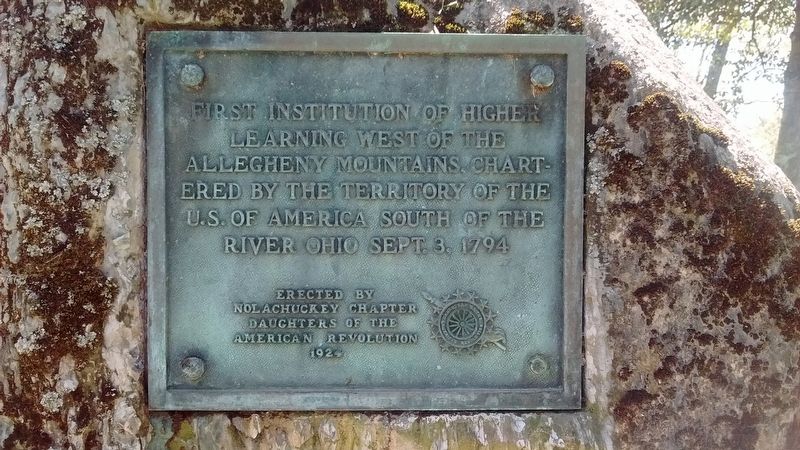
1. Institution of Higher Learning Marker
First Institution of Higher Learning West of the Allegheny Mountains, chartered by the Territory of the U.S. of America South of the River Ohio Sept. 3, 1794.
Erected 1926 by Nolachuckey Chapter Daughters of the American Revolution.
Topics and series. This historical marker is listed in this topic list: Education. In addition, it is included in the Daughters of the American Revolution (DAR) series list. A significant historical date for this entry is September 3, 1794.
Location. 36° 10.501′ N, 82° 45.646′ W. Marker is in Tusculum, Tennessee, in Greene County. It is on Erwin Highway near Shiloh Rd, on the right when traveling east. Touch for map. Marker is at or near this postal address: 910 Erwin Hwy, Greeneville TN 37745, United States of America. Touch for directions.

Regionally, this marker is in East Tennessee. It is also in the American South, specifically in the Upper South, in Appalachia, and specifically in Southern Appalachia. Globally, it is in North America, the Western Hemisphere, the Western World, and the Anglosphere. Historically, it finds itself in what was once the original Cherokee Nation, the territory
this page online
Other nearby markers. At least 8 other markers are within 4 miles of this marker, measured as the crow flies: John Gloucester (here, next to this marker); Tusculum College (within shouting distance of this marker); Virginia Hall 1901 (about 300 feet away, measured in a direct line); a different marker also named Tusculum College (about 700 feet away); Samuel Doak House (approx. ¼ mile away); Andrew Johnson National Historic Site (approx. 1.4 miles away); Henderson’s Station (approx. 1.6 miles away); The Band Perry (approx. 3.6 miles away).
Also see . . . Tusculum University. (Submitted on July 16, 2018, by Tom Bosse of Jefferson City, Tennessee.)
Photographed by Tom Bosse, April 21, 2018
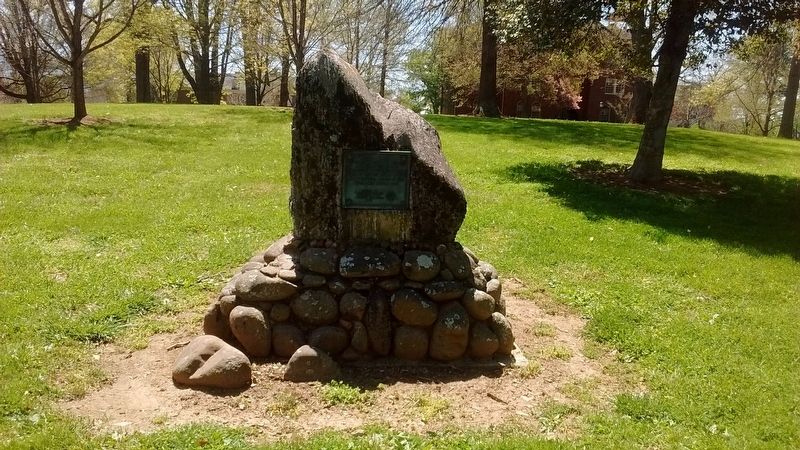
2. Institution of Higher Learning Marker
Photographed by Tom Bosse, April 21, 2018
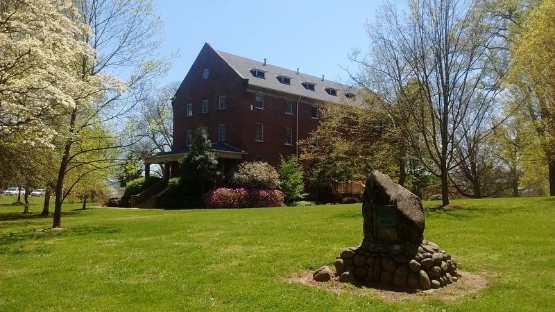
3. Institution of Higher Learning Marker
Photographed by Tom Bosse
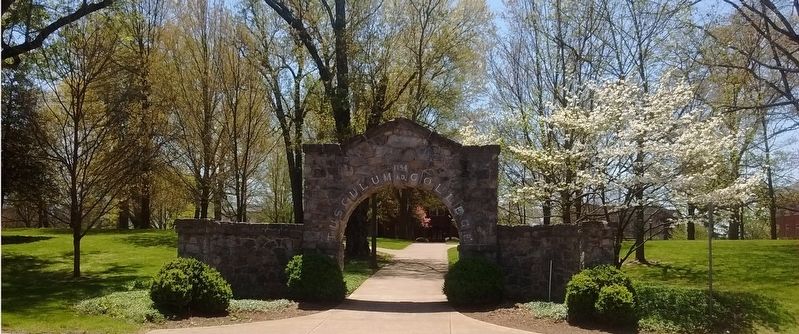
4. Tusculum University
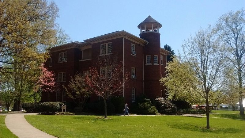
Photographed by Tom Bosse, April 21, 2018
5. McCormack Hall - Tusculum University
Credits. This page was last revised on June 20, 2026. It was originally submitted on July 16, 2018, by Tom Bosse of Jefferson City, Tennessee. This page has been viewed 430 times since then and 29 times this year. It was the Marker of the Week August 30, 2026. Photos: 1, 2, 3, 4, 5. submitted on July 16, 2018, by Tom Bosse of Jefferson City, Tennessee. • Bill Pfingsten was the editor who published this page.
