Near Platteville in Weld County, Colorado — The American Mountains (Southwest)
Fort Vasquez
⎯⎯⎯
Fort Vasquez Country
Photographed by Mark Hilton, June 30, 2018
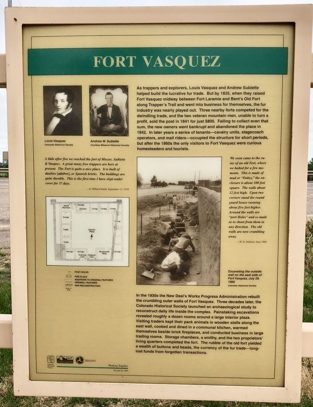
1. Fort Vasquez Marker (front)
In the 1930s the New Deal's Works Progress Administration rebuilt the crumbling outer walls of Fort Vasquez. Three decades later, the Colorado Historical Society launched an archaeological study to reconstruct daily life inside the complex. Painstaking excavations revealed roughly a dozen rooms around a large interior plaza.
this page online
A little after five we reached the fort of Messrs. Sublette & Vasquez. A great many free trappers are here at present. The Fort is quite a nice place. It is built of daubies [adobes], or Spanish bricks. The buildings are quite durable. This is the first time I have slept under cover for 37 days.
-E. Willard Smith, September 13, 1839
We soon came to the ruins of an old Fort, where we halted for a few moments. This is made of mud or "Dobey," the enclosure is about 100 feet square. The walls about 12 feet high. Upon two corners stand the round guard house running about five feet higher. Around the walls are "port Holes" and so made as to shoot from them in any direction. The old walls are now crumbling away.
-W D. Anthony, June 1860
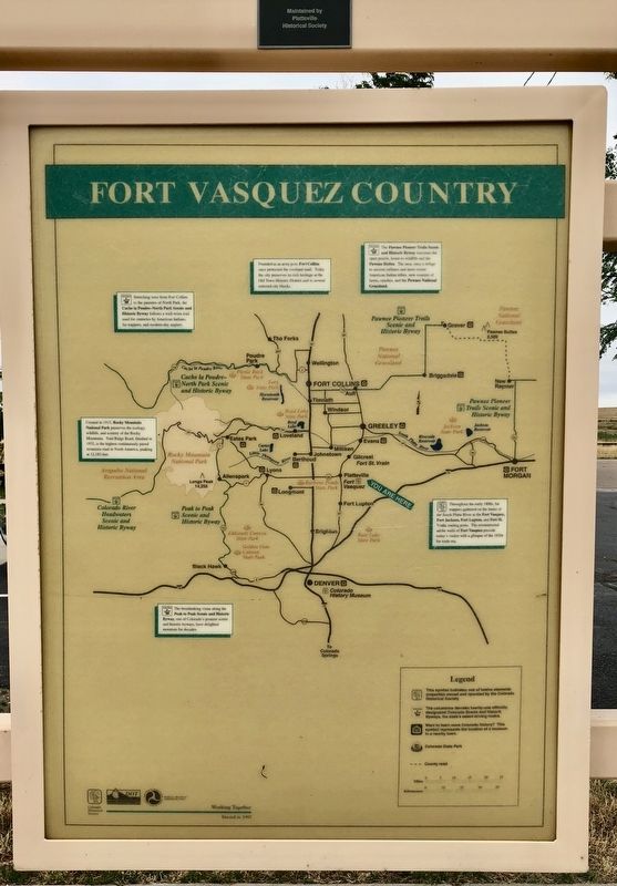
{Area map of historical & geographical highlights}
Erected 1997
Photographed by Mark Hilton, June 30, 2018
2. Fort Vasquez Country Map
Topics and series. This historical marker is listed in these topic lists: Exploration • Forts and Castles • Industry & Commerce. In addition, it is included in the History Colorado series list. A significant historical month for this entry is June 1860.
Location. 40° 11.643′ N, 104° 49.262′ W. Marker is near Platteville, Colorado, in Weld County. It is on CanAm Highway (U.S. 85) 0.6 miles south of County Road 30, in the median. Located at the Fort Vasquez Museum. Touch for map. Marker is at or near this postal address: CanAm Highway, Platteville CO 80651, United States of America. Touch for directions.

Regionally, this marker is in Colorado’s Front Range. It is also in the American Mountain West and on the Great Plains. Globally, it is in North America, the Western Hemisphere, the Western World, and the Anglosphere. Historically, it finds itself in what was once the Louisiana Purchase.
Other nearby markers. At least 8 other markers are within 17 miles of this marker, measured as the crow flies: Fort Vasquez (within shouting distance of this
via Colorado Encyclopedia, unknown
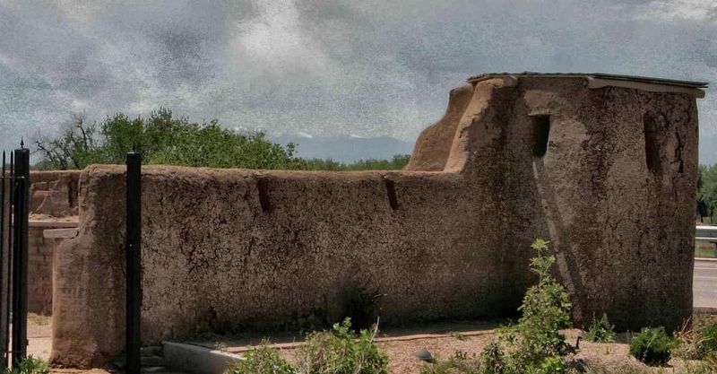
3. Fort Vasquez
Colorado history website entry
Click for more information.
Click for more information.
Also see . . . Fort Vasquez. Wikipedia entry (Submitted on August 18, 2026, by Larry Gertner of New York, New York.)
Photographed by Mark Hilton, June 30, 2018
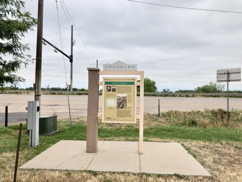
4. The view west towards Highway 85 southbound.
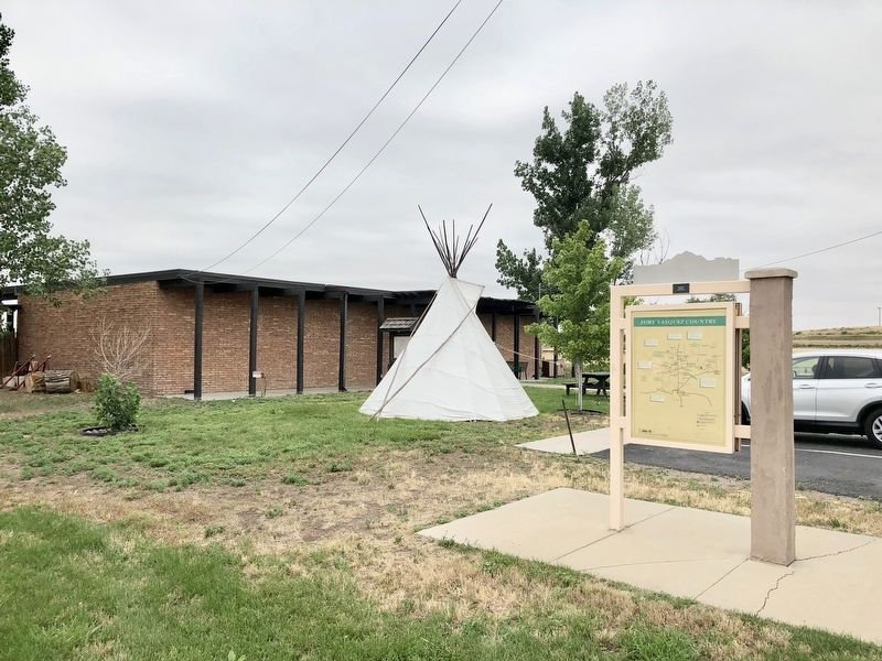
Photographed by Mark Hilton, June 30, 2018
5. Fort Vasquez Country Marker with the Fort Vasquez Museum in background.
Credits. This page was last revised on August 18, 2026. It was originally submitted on July 16, 2018, by Mark Hilton of Montgomery, Alabama. This page has been viewed 795 times since then and 64 times this year. Photos: 1, 2. submitted on July 16, 2018, by Mark Hilton of Montgomery, Alabama. 3. submitted on August 18, 2026, by Larry Gertner of New York, New York. 4, 5. submitted on July 16, 2018, by Mark Hilton of Montgomery, Alabama.
