Mount Holly Springs in Cumberland County, Pennsylvania — The American Northeast (Mid-Atlantic)
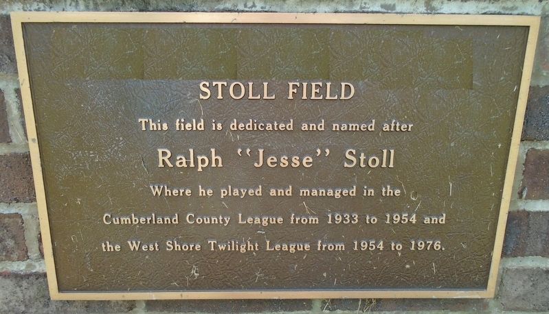
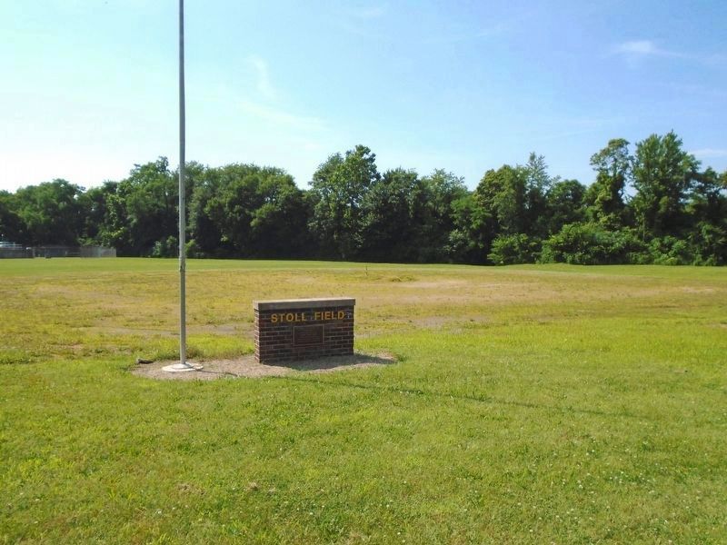
Stoll Field
Ralph "Jesse" Stoll
where he played and managed in the
Cumberland County League from 1933 to 1954 and
the West Shore Twilight League from 1954 to 1976.
Topics. This historical marker is listed in these topic lists: Man-Made Features • Sports. A significant historical year for this entry is 1933.
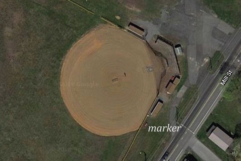
Location. 40° 7.356′ N, 77° 11.215′ W. Marker is in Mount Holly Springs, Pennsylvania, in Cumberland County. Marker is at the intersection of Mill Street and East Street, on the left when traveling north on Mill Street. Touch for map. Marker is in this post office area: Mount Holly Springs PA 17065, United States of America. Touch for directions.
Other nearby markers. At least 8 other markers are within 4 miles of this marker, measured as the crow flies. Veterans Memorial (approx. 0.4 miles away); First Casualty In Cumberland County (approx. 0.7 miles away); Trine Memorial Park (approx. 0.7 miles away); a different marker also named Veterans Memorial (approx. 0.9 miles away); The Craighead Family (approx. 1.9 miles away); In Memory of James and Jane Weakley (approx. 2 miles away); Cumberland County Veterans Memorial Clock Tower (approx. 3.6 miles away); SFC Randall Shughart (approx. 3.6 miles away). Touch for a list and map of all markers in Mount Holly Springs.
Also see . . . Ralph A. "Jessie" Stoll Death Notice (2004). (Submitted on July 16, 2018, by William Fischer, Jr. of Scranton, Pennsylvania.)
Credits. This page was last revised on July 16, 2018. It was originally submitted on July 16, 2018, by William Fischer, Jr. of Scranton, Pennsylvania. This page has been viewed 292 times since then and 21 times this year. Photos: 1, 2, 3, 4. submitted on July 16, 2018, by William Fischer, Jr. of Scranton, Pennsylvania.


