
Montrose in Montrose County, Colorado — The American Mountains (Southwest)
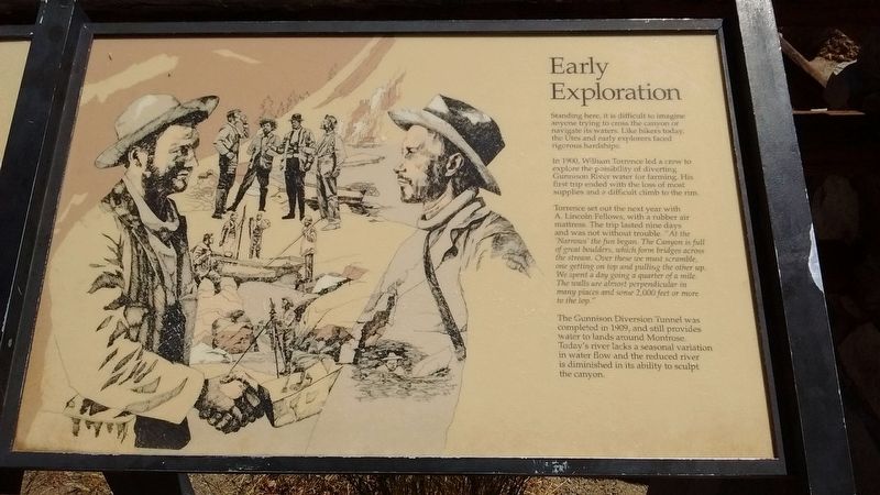
Early Exploration
Photographed by Tom Bosse, May 29, 2018
1. Early Exploration Marker
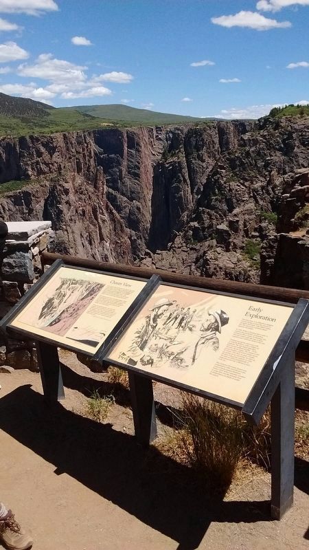
In 1900, William Torrence led a crew to explore the possibility of diverting Gunnison River water for farming. His first trip ended with the loss of most supplies and a difficult climb to the rim.
Torrence set out the next year with A. Lincoln Fellows, with a rubber air mattress. The trip lasted nine days and was not without trouble. "At the 'Narrows' the fun began. The Canyon is full of great boulders, which form bridges across the stream. Over these we must scramble, one getting on top and pulling the other up. We spent a day going a quarter of a mile. the walls are almost perpendicular in many places and some 2,000 feet or more to the top."
The Gunnison Diversion Tunnel was completed in 1909, and still provides water to lands around Montrose. Today's river lacks a seasonal variation in water flow and the reduced river is diminished in its ability to sculpt the canyon.
Erected by National Park Service, U.S. Department of the Interior.
this page online
Topics. This historical marker is listed in this topic list: Exploration. A significant historical year for this entry is 1900.
Location. 38° 34.898′ N, 107° 42.864′ W. Marker is in Montrose, Colorado, in Montrose County. It can be reached from Rim Drive Road, on the right when traveling west. Marker is located at Chasm View. Touch for map. Marker is in this post office area: Montrose CO 81401, United States of America. Touch for directions.

Regionally, this marker is in the Western Slope. It is also in the American Mountain West, on the Colorado Plateau, and at the Four Corners. Globally, it is in North America, the Rocky Mountains, the Western Hemisphere, the Western World, and the Anglosphere. Historically, it finds itself in what was once Mexico’s Alta California.
Other nearby markers. At least 8 other markers are within 11 miles of this marker, measured as the crow flies: The Painted Wall (approx. 0.2 miles away); Pegmatite Dikes (approx. 2.3 miles away); Black Canyon of the Gunnison National Park (approx. 2.6 miles away); Light at the End of the Tunnel (approx. 5.2 miles away); Building a Dam (approx. 5.2 miles away);
Photographed by Tom Bosse, May 29, 2018
2. Early Exploration Marker
Also see . . . 1901-Torrence & Fellows Expedition. (Submitted on July 16, 2018, by Tom Bosse of Jefferson City, Tennessee.)
Photographed by Craig Baker
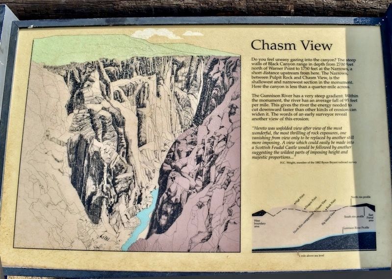
3. Chasm View Marker
Photographed by Tom Bosse, May 29, 2018
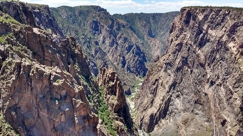
4. Black Canyon of the Gunnison
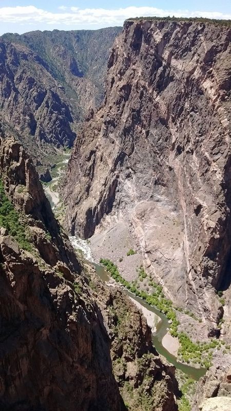
Photographed by Tom Bosse, May 29, 2018
5. Black Canyon of the Gunnison
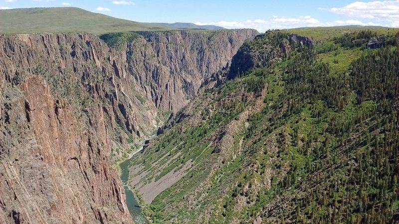
Photographed by Tom Bosse, May 29, 2018
6. Black Canyon of the Gunnison
Credits. This page was last revised on November 28, 2024. It was originally submitted on July 16, 2018, by Tom Bosse of Jefferson City, Tennessee. This page has been viewed 314 times since then and 23 times this year. Photos: 1, 2. submitted on July 16, 2018, by Tom Bosse of Jefferson City, Tennessee. 3. submitted on November 28, 2024, by Craig Baker of Sylmar, California. 4, 5, 6. submitted on July 16, 2018, by Tom Bosse of Jefferson City, Tennessee. • Syd Whittle was the editor who published this page.
