College Station in Brazos County, Texas — The American South (West South Central)
History Building
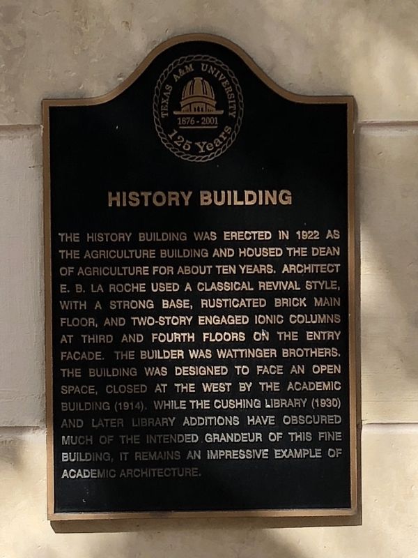
Photographed by Brian Anderson, July 1, 2018
1. History Building Marker
Erected 2001 by Texas A&M University.
Topics. This historical marker is listed in this topic list: Education. A significant historical year for this entry is 1922.
Location. 30° 37.046′ N, 96° 20.324′ W. Marker is in College Station, Texas, in Brazos County. It can be reached from Spence Street. Touch for map. Marker is at or near this postal address: 4236 TAMU, College Station TX 77843, United States of America. Touch for directions.

Regionally, this marker is in the Prairies & Lakes Region.
this page online
Other nearby markers. At least 8 other markers are within walking distance of this marker: Francis Hall (about 300 feet away, measured in a direct line); Chemistry Building (about 500 feet away); Williams Administration Building (approx. 0.2 miles away); Academic Building (approx. 0.2 miles away); Lawrence Sullivan Ross (approx. 0.2 miles away); Bolton Hall (approx. 0.2 miles away); Nagle Hall (approx. 0.2 miles away); A. & M. College of Texas World War Memorial (approx. 0.2 miles away). Touch for a list and map of all markers in College Station.
More about this marker. This marker is part of a series placed on the historic campus buildings to commemorate the 125th anniversary of Texas A&M University.
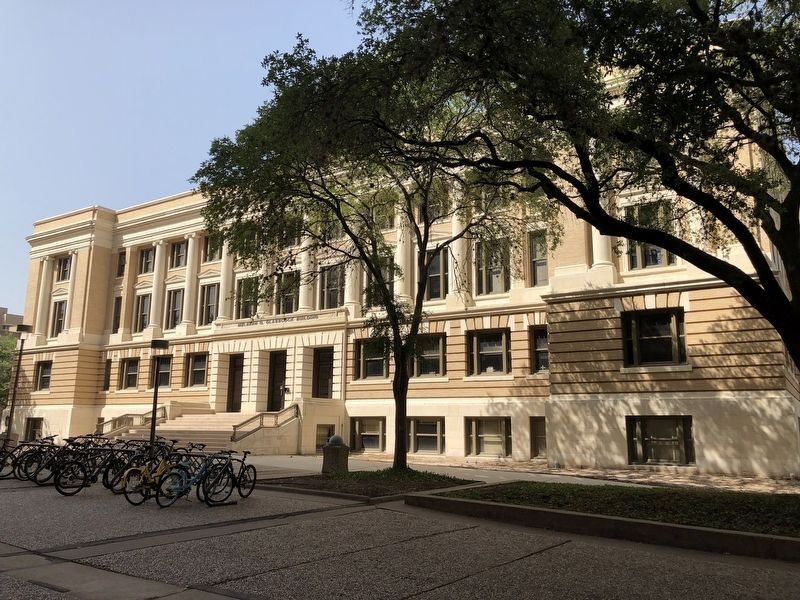
Photographed by Brian Anderson, July 1, 2018
2. History Building
Marker is mounted to the wall at the far left corner of the building.
Credits. This page was last revised on January 5, 2026. It was originally submitted on July 17, 2018, by Brian Anderson of New Albany, Ohio. This page has been viewed 861 times since then and 46 times this year. Photos: 1, 2. submitted on July 19, 2018, by Brian Anderson of New Albany, Ohio. • Andrew Ruppenstein was the editor who published this page.
