Arcadia in Los Angeles County, California — The American West (Pacific Coastal)
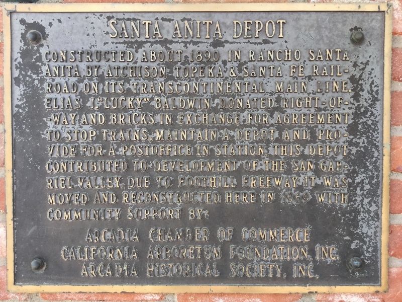
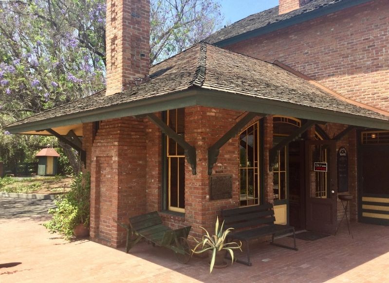
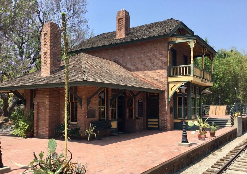
Santa Anita Depot
Topics and series. This historical marker is listed in these topic lists: Architecture • Railroads & Streetcars. In addition, it is included in the Atchison, Topeka and Santa Fe Railway series list.
Location. 34° 8.393′ N, 118° 3.185′ W. Marker is in Arcadia, California, in Los Angeles County. Marker can be reached from Baldwin Avenue, 0.3 miles south of U.S. 210, on the right when traveling south. Located in the Los Angeles County Arboretum and Botanic Garden. Touch for map. Marker is at or near this postal address: 301 North Baldwin Avenue, Arcadia CA 91007, United States of America. Touch for directions.
Other nearby markers. At least 8 other markers are within walking distance of this marker. American Indian Artifact (within shouting distance of this marker); Reid-Baldwin Adobe (about 300 feet away, measured in a direct line); Queen Anne Cottage (about 600 feet away); Baldwin Lake (about 600 feet away); Cycads (approx. 0.2 miles away); Hollywood at the Arboretum (approx. 0.2 miles away); Los Angeles County Arboretum & Botanic Garden (approx. 0.3 miles away); Santa Anita During World War II (approx. 0.4 miles away). Touch for a list and map of all markers in Arcadia.
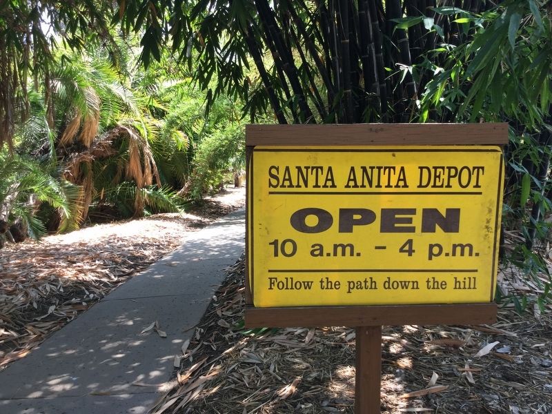
More about this marker. Although the depot can be seen from S. Baldwin Ave, it can only be accessed by entering the Arboretum at 301 N Baldwin Ave and walking to the south-east corner of the property. The depot is usually open on Tuesdays and Wednesdays, 10 a.m. – 4 p.m., and every Sunday 1-4 p.m.
Also see . . . The Arboretum. (Submitted on July 18, 2018.)
Credits. This page was last revised on January 30, 2023. It was originally submitted on July 18, 2018, by Craig Baker of Sylmar, California. This page has been viewed 633 times since then and 112 times this year. Photos: 1, 2, 3, 4, 5, 6. submitted on July 18, 2018, by Craig Baker of Sylmar, California. • Syd Whittle was the editor who published this page.
