Varnell in Whitfield County, Georgia — The American South (South Atlantic)
Praterís Mill
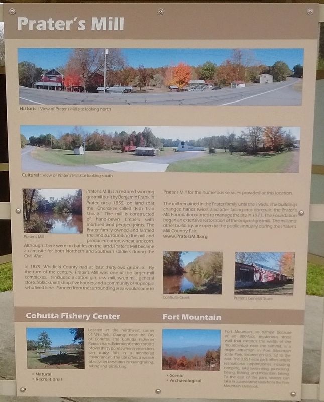
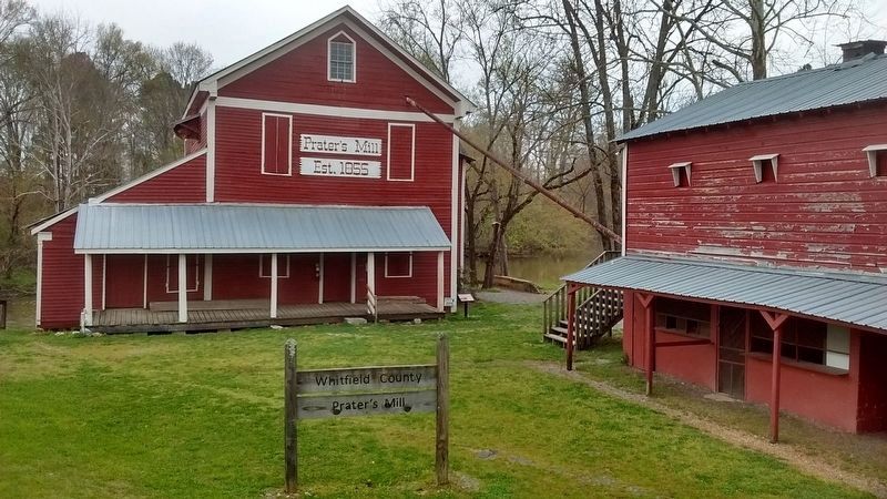
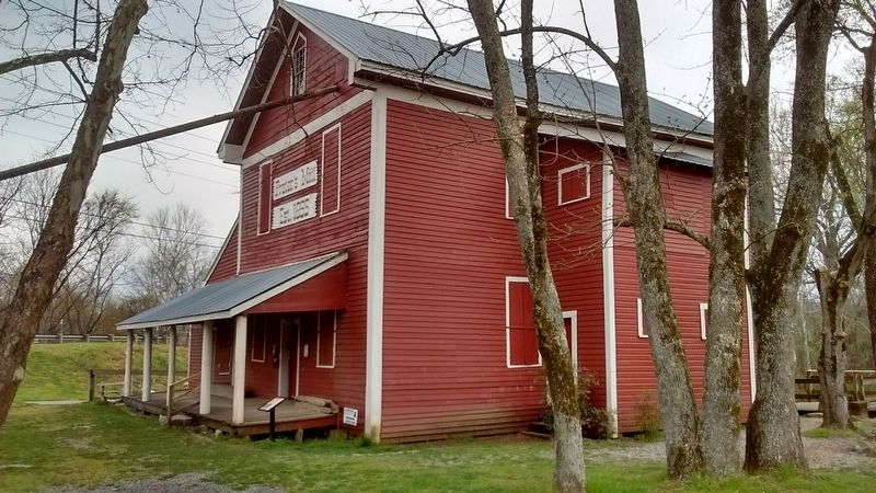
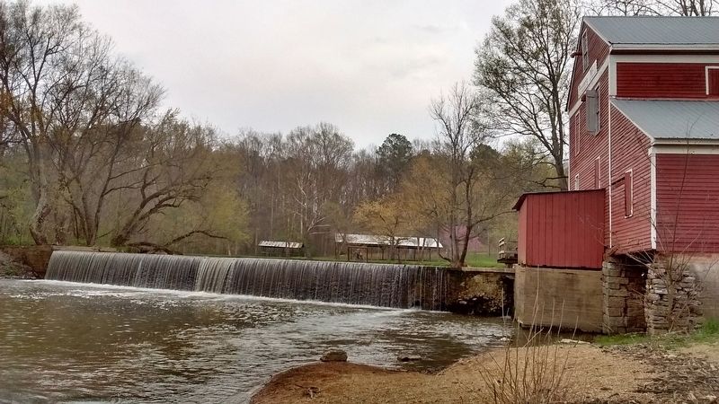
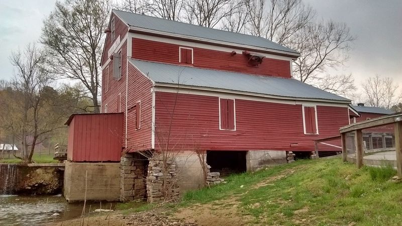
Praterís Mill is a restored working gristmill built by Benjamin Franklin Prater circa 1855, on land that the Cherokee called ďFish Trap ShoalsĒ. The mill is constructed of hand-hewn timbers with mortised and pegged joints. The Prater family owned and farmed the land surrounding the mill and produced cotton, wheat, and corn. Although there were no battles on the land, Praterís Mill became a campsite for both Northern and Southern soldiers during the Civil War.
In 1879, Whitfield County had at least thirty-two gristmills. By the turn of the century, Praterís Mill was one of the larger mill complexes. In included a cotton gin, saw mill, syrup mill, general store, a blacksmith shop, five houses, and a community of 40 people who lived here. Farmers from the surrounding area would come to Praterís Mill for the numerous services provided at this location.
The mill remained in the Prater family until the 1950s. The buildings changed hands twice, and after falling into disrepair, the Praterís Mill Foundation started to manage the site in 1971. The Foundation began an extensive restoration of the original gristmill. The mill and other buildings are open to the public annually during the Praterís Mill County Fair.
Topics. This historical marker is listed in this topic list: Industry & Commerce. A significant historical year for this entry is 1855.
Location. 34° 53.697′ N, 84° 55.2′ W. Marker is in Varnell, Georgia, in Whitfield County. Marker is on Prater Mill Road NE (Georgia Route 2), on the right when traveling east. Touch for map. Marker is in this post office area: Varnell GA 30756, United States of America. Touch for directions.
Other nearby markers. At least 8 other markers are within 4 miles of this marker, measured as the crow flies. Dr. Lacewellís Office (a few steps from this marker); Praterís Mill Store (within shouting distance of this marker); a different marker also named Prater's Mill (within shouting distance of this marker); Praterís Mill and The Civil War (within shouting distance of this marker); Water Turbine (about 300 feet away, measured in a direct line); Cotton Gin (about 300 feet away); Old Federal Road (approx. 1Ĺ miles away); Historic Varnell Home (approx. 3.2 miles away). Touch for a list and map of all markers in Varnell.
Also see . . . Prater's Mill Historic Site. Explore Georgia website entry (Submitted on July 19, 2018, by Tom Bosse of Jefferson City, Tennessee.)
Additional commentary.
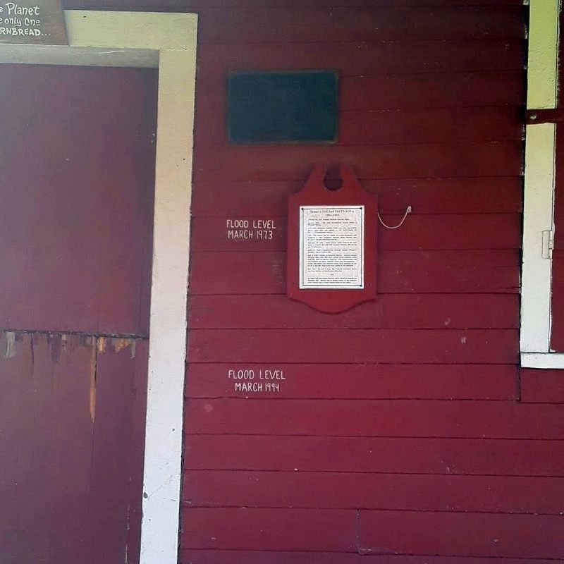
1. Coalhulla Creek Floods Its Banks
Coalhulla Creek has undoubtedly overflowed its banks many times throughout the years. Painted next to the entrance of the mill on the plank wood siding are two high water marks, both events were in the month of March. One in 1973 and the other 1994.
— Submitted April 10, 2021, by David Tibbs of Resaca, Georgia.
Credits. This page was last revised on October 23, 2021. It was originally submitted on July 19, 2018, by Tom Bosse of Jefferson City, Tennessee. This page has been viewed 194 times since then and 12 times this year. Photos: 1, 2, 3, 4, 5, 6. submitted on July 19, 2018, by Tom Bosse of Jefferson City, Tennessee. 7. submitted on April 10, 2021, by David Tibbs of Resaca, Georgia. • Andrew Ruppenstein was the editor who published this page.
