Van Buren in Crawford County, Arkansas — The American South (West South Central)
Web of Enterprise
Photographed by Mark Hilton, July 9, 2018
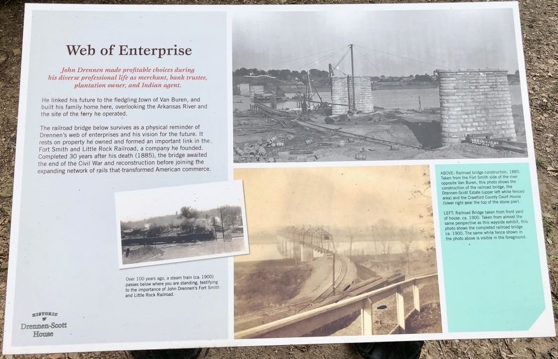
1. Web of Enterprise Marker
He linked his future to the fledgling town of Van Buren, and built his family home here, overlooking the Arkansas River and the site of the ferry he operated.
The railroad bridge below survives as a physical reminder of Drennen's web of enterprises and his vision for the future. It rests on property he owned and formed an important link in the Fort Smith and Little Rock Railroad, a company he founded. Completed 30 years after his death (1885), the bridge awaited the end of the Civil War and reconstruction before joining the expanding network of rails that transformed American commerce.
Photo captions Left side: Over 100 years ago, a steam train (ca. 1900) passes below where you are standing, testifying to the importance of John Drennen's Fort Smith and Little Rock Railroad.
Right top: Railroad bridge construction, 1885. Taken from the Fort Smith side of the river opposite Van Buren, this photo shows the construction of the railroad bridge, the Drennen-Scott Estate (upper left white fenced area) and the Crawford County Court House (lower right near the top of the stone pier).
Right bottom: Railroad Bridge taken from front yard of house. ca. 1900. Taken from almost the same perspective as this wayside exhibit, this photo shows the completed railroad bridge ca. 1900. The same white fence shown in the photo above is visible in the foreground.
Erected by University
this page online
Topics. This historical marker is listed in these topic lists: Bridges & Viaducts • Railroads & Streetcars • Settlements & Settlers. A significant historical year for this entry is 1885.
Location. 35° 26.146′ N, 94° 21.584′ W. Marker is in Van Buren, Arkansas, in Crawford County. It can be reached from North 3rd Street 0.1 miles south of Knox Street, on the right when traveling south. Located on the grounds of the Drennen Scott House. Touch for map. Marker is at or near this postal address: 221 North 3rd Street, Van Buren AR 72956, United States of America. Touch for directions.

Regionally, this marker is in the Arkansas River Valley, in the Cherokee Heritage Region, and in Osage Territory. It is also in the American South, specifically in the Upper South, and in the Ozarks. Globally, it is in North America, the Western Hemisphere, the Western World, and the Anglosphere. Historically, it finds itself in what was once the territory of the Mississippian Culture, the Louisiana Purchase, one of the Confederate States of America, and the Antebellum South.
Other nearby markers. At least 8
Photographed by Mark Hilton, July 9, 2018
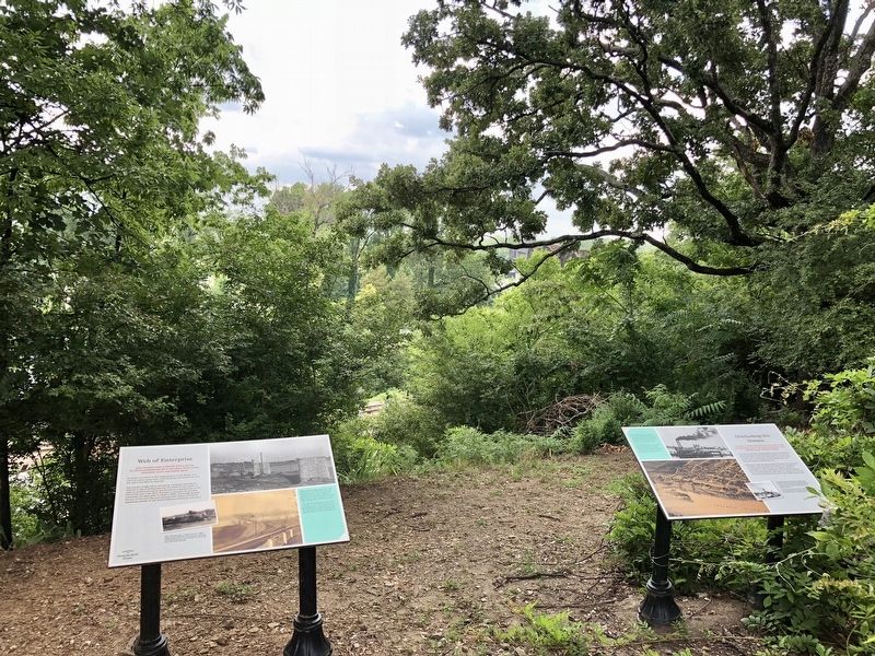
2. Web of Enterprise Marker on left.
Also see . . . UAFS Drennen Scott House. Van Buren AK website entry (Submitted on July 19, 2018, by Mark Hilton of Montgomery, Alabama.)
Photographed by Mark Hilton, July 9, 2018
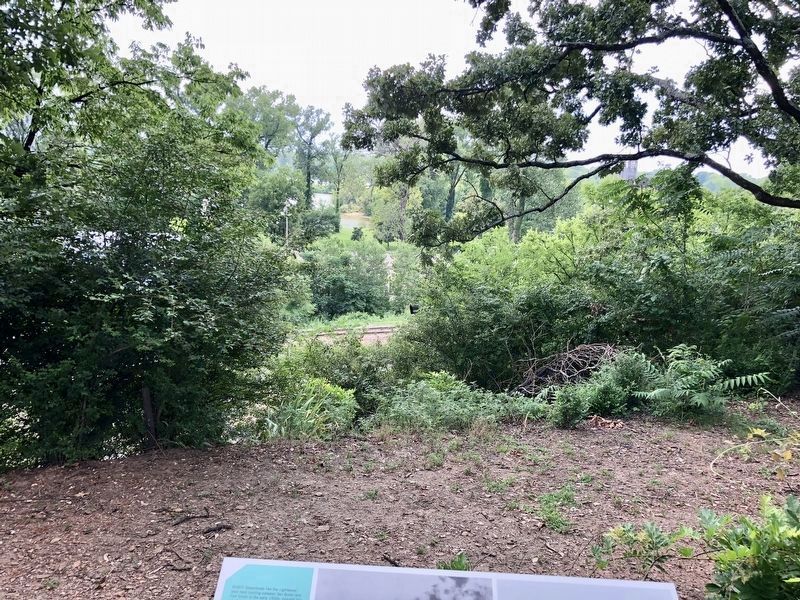
3. Railroad tracks can be seen below, portion of bridge below lower curved tree limb on right.
Credits. This page was last revised on October 23, 2021. It was originally submitted on July 19, 2018, by Mark Hilton of Montgomery, Alabama. This page has been viewed 438 times since then and 28 times this year. Photos: 1, 2, 3. submitted on July 19, 2018, by Mark Hilton of Montgomery, Alabama.
