McLean Gardens in Northwest Washington in Washington, District of Columbia — The American Northeast (Mid-Atlantic)
Cathedral Heights Business District

Photographed By Devry Becker Jones (CC0), July 21, 2018
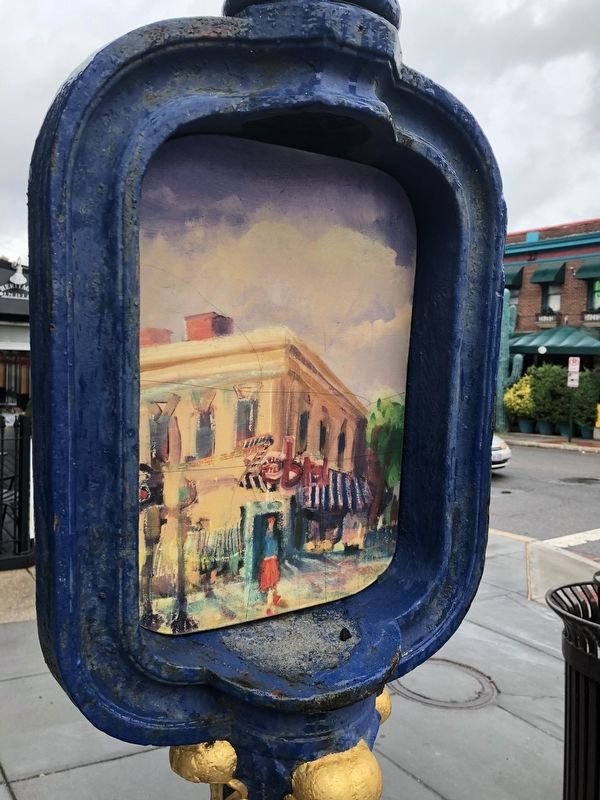
1. Cathedral Heights Business District Marker
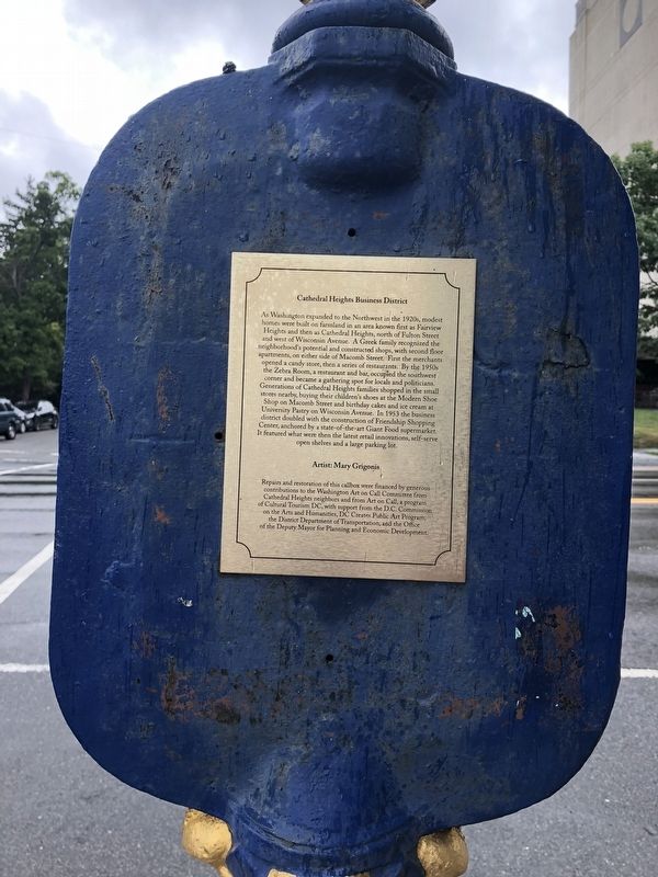
As Washington expanded to the Northwest in the 1920s, modest homes were built on farmland in an area known first as Fairview Heights and then as Cathedral Heights, north of Fulton Street and west of Wisconsin Avenue. A Greek family recognized the neighborhood's potential and constructed shops, with second floor apartments, on either side of Macomb Street. First the merchants opened a candy store, then a series of restaurants. by the 1950s the Zebra Room, a restaurant and bar, occupied the southwest corner and became a gathering spot for locals and politicians. Generations of Cathedral Heights families shopped in the small stores nearby, buying their children's shoes at the Modern Shoe Shop on Macomb Street and birthday cakes and ice cream at University Pastry on Wisconsin Avenue. IN 1953 the business district doubled with the construction of Friendship Shopping Center, anchored by a state-of-the art Giant Food supermarket. It featured what were then the latest retail innovations, self-serve open shelves and a large parking lot.
Erected by Cultural Tourism DC.
Topics and series. This historical marker is listed in these topic lists: Industry & Commerce • Settlements & Settlers . In addition, it is included in the DC, Art on Call series list. A significant historical year for this entry is 1920.
Location. 38° 56.005′ N, 77° 4.352′ W. Marker is in Northwest Washington in Washington, District of Columbia. It is in McLean Gardens. Marker is at the intersection of Wisconsin Avenue Northwest and Macomb Street Northwest, on the right when traveling south on Wisconsin Avenue Northwest. Touch for map. Marker is at or near this postal address: 3238 Wisconsin Avenue Northwest, Washington DC 20016, United States of America. Touch for directions.
Other nearby markers. At least 8 other markers are within walking distance of this marker. The Woodley Inn (about 500 feet away, measured in a direct line); The Nourse Farm (about 600 feet away); Rosedale (about 600 feet away); Washington National Cathedral (approx. 0.2 miles away); Damage Alert! (approx. 0.2 miles away); a different marker also named Damage Alert! (approx. 0.2 miles away); Twisted Pinnacles! (approx. 0.2 miles away); Earthquake Update (approx. 0.2 miles away). Touch for a list and map of all markers in Northwest Washington.

Photographed By Devry Becker Jones (CC0), July 21, 2018
2. Cathedral Heights Business District Marker

Photographed By Devry Becker Jones (CC0), July 21, 2018
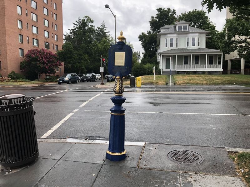
3. Cathedral Heights Business District Marker
Credits. This page was last revised on January 30, 2023. It was originally submitted on July 21, 2018, by Devry Becker Jones of Washington, District of Columbia. This page has been viewed 192 times since then and 9 times this year. Photos: 1, 2, 3. submitted on July 21, 2018, by Devry Becker Jones of Washington, District of Columbia. • Bill Pfingsten was the editor who published this page.