Pineville in Rapides Parish, Louisiana — The American South (West South Central)
600 Block Main Street East
April 6, 2018
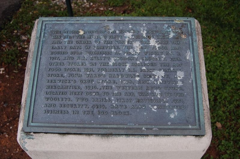
1. 600 Block Main Street Marker
The Second story of the Masonic Lodge building has been the meeting place of Solomon Lodge 221 and the Order of the Eastern Star since the early days of Pineville. The first floor has housed such businesses as Piggly Wiggly No. 2, 1927, and A.A. Kelly's Economy Grocery, 1938. Other stores on the block included the A&P Food Store, 1931, formerly L.L. Brice General Store, John Ward's Hardware Company, J.C. Berwick's Drug Store, 1938 and Pineville Mercantile, 1930. The Western Auto Store, located next door to the A&P, was run by the Wooleys. Two banks, First National, 1927 and Security, 1929, have also conducted business in the 600 block.
Topics. This historical marker is listed in these topic lists: Industry & Commerce • Settlements & Settlers.
Location. 31° 19.248′ N, 92° 26.141′ W. Marker is in Pineville, Louisiana, in Rapides Parish. It is on Main Street (Business U.S. 165) 0.1 miles north of Leroy Street, on the right when traveling north. Touch for map. Marker is in this post office area: Pineville LA 71360, United States of America. Touch for directions.

Regionally,
this page online
Other nearby markers. At least 8 other markers are within walking distance of this marker: 600 Block Main Street West (a few steps from this marker); 700 Block Main Street (about 300 feet away, measured in a direct line); Intersection of Shamrock and Main Streets (about 600 feet away); Main Street (about 600 feet away); The Foot of Red Hill (about 600 feet away); City of Pineville (about 600 feet away); Red Hill (approx. 0.2 miles away); Alexandria National Cemetery (approx. 0.2 miles away). Touch for a list and map of all markers in Pineville.
April 6, 2018
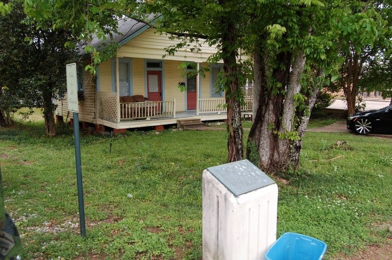
2. 600 Block Main Street Marker
Credits. This page was last revised on July 22, 2018. It was originally submitted on July 22, 2018, by Cajun Scrambler of Assumption, Louisiana. This page has been viewed 532 times since then and 39 times this year. Photos: 1, 2. submitted on July 22, 2018.
