San Bernardino in San Bernardino County, California — The American West (Pacific Coastal)
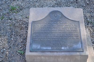
The Council House
Photographed by Michael Kindig, January 29, 2011
1. The Council House Marker
It was two stories, one room below and one above 24x26 feet and surrounded by a white fence. The building stood until 1867 when it was demolished to make way for the Starkey Hotel, a brick building.
Erected 1955 by Lugonia Parlor No. 241 Native Daughters of the Golden West.
Topics and series. This historical marker is listed in this topic list: Settlements & Settlers. In addition, it is included in the Native Sons/Daughters of the Golden West series list. A significant historical year for this entry is 1853.
Location. Marker has been permanently removed. It was located near 34° 6.338′ N, 117° 17.376′ W. Marker was in San Bernardino, California, in San Bernardino County. It was on North Arrowhead Avenue when traveling north. Touch for map. Marker was at or near this postal address: 351 North Arrowhead Avenue, San Bernardino CA 92415, United States
this page online
We have been informed that this marker is no longer there and will not be replaced. This page is an archival view of what was.
Regionally, this marker was in Greater Los Angeles, in the Inland Empire, in the Peninsular Ranges, and specifically in the Transverse Ranges. It was also in the American Southwest. Globally, it was in North America, on the Ring of Fire, in the Pacific Rim, in the Western Hemisphere, in the Western World, and in the Anglosphere. Historically, it found itself in what was once New Spain and also Mexico’s Alta California.

Other nearby markers. At least 8 other markers are within 2 miles of this location, measured as the crow flies: Site of Mormon Stockade (within shouting distance of this marker); 60th Anniversary of the CCC (within shouting distance of this marker); To Jedediah Smith (within shouting distance of this marker); United States Post Office (approx. ¼ mile away); California Theater (approx. 0.3 miles away); San Bernardino Santa Fe Depot (approx. 1.2 miles away); POW MIA Memorial Flag Pole (approx. 1.4 miles away); Site of Original McDonald's (approx. 1.4 miles away). Touch for a list and map
Photographed by Craig Baker, July 21, 2018
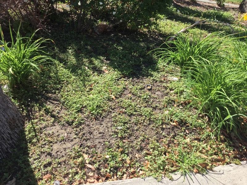
2. Former Location of Marker
Now missing. No trace of it remains in 2018.
Other markers no longer nearby. Charles C Rich, Amasa M Lyman (was within shouting distance of this marker but has been confirmed missing); Settlement of San Bernardino (was within shouting distance of this marker but has been confirmed missing); Arrowhead Plaza (was about 300 feet away, measured in a direct line but has been confirmed missing).
Photographed by Craig Baker, July 21, 2018
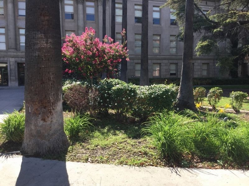
3. Area View.
Landscaped area in front of courthouse is where the marker was.
Courtesy of Signature Books Library
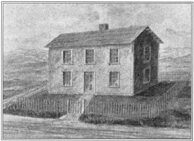
4. The Council House
Sketch of the Council House, which stood adjacent to Lyman’s
mansion near the present county courthouse.
Credits. This page was last revised on July 23, 2018. It was originally submitted on November 20, 2014, by Michael Kindig of Elk Grove, California. This page has been viewed 683 times since then and 28 times this year. Last updated on July 23, 2018, by Craig Baker of Sylmar, California. Photos: 1. submitted on November 20, 2014, by Michael Kindig of Elk Grove, California. 2, 3. submitted on July 22, 2018, by Craig Baker of Sylmar, California. 4. submitted on November 20, 2014, by Michael Kindig of Elk Grove, California. • Syd Whittle was the editor who published this page.
