San Bernardino in San Bernardino County, California — The American West (Pacific Coastal)
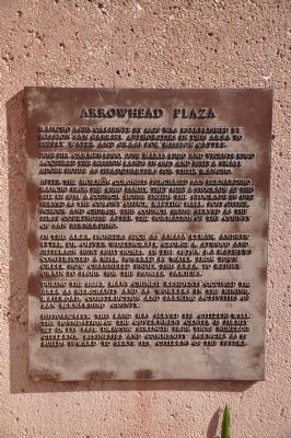
Arrowhead Plaza
Photographed by Michael Kindig, January 29, 2011
1. Arrowhead Plaza Marker
Jose Del Carmen Lugo, Jose Maria Lugo and Vicente Lugo acquired the mission lands in 1823 and built a small adobe house as headquarters for their rancho.
After the Mormon colonists purchased San Bernardino Rancho from the Lugo family, they built a stockade at this site in 1851. A Council House inside the stockade in 1852 served as the colony office, meeting hall, post office, school and church. This Council House served as the first courthouse after the formation of the County of San Bernardino.
In this area, pioneers such as Amasa Lyman, Andrew Lytle, Dr. Oliver Wozencraft, George A. Atwood and Jefferson Hunt built homes. In the 1870's, B.J. Mathews constructed a mill, powered by water from town creek now channeled under this area, to reduce grain to flour for the pioneer families.
During the 1880's, many Chinese residents occupied the area as merchants and as workers in the mining, railroad, construction and farming activities of San Bernardino County.
Historically, this land has served its citizens well. The foundation of the government center is firmly set in its past, drawing strength from those numerous citizens, businesses and community agencies as it builds upward to serve its citizens of the future.
[Board of Supervisors Marker]
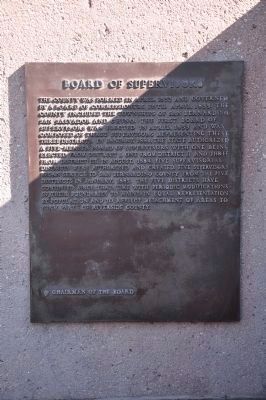
The county was formed in April, 1853 and governed by a board of commissioners until April, 1855. The county included the townships of San Bernardino, San Salvdor and Chino. The first Board of Supervisors was elected in April, 1855 and was composed of three supervisors representing these three districts. In January, 1880, the state authorized a five-member Board of Supervisors with one being elected from District I, one
this page online
Chariman of the Board
Topics. This historical marker is listed in this topic list: Settlements & Settlers. A significant historical month for this entry is January 1880.
Location. Marker is missing. It was located near 34° 6.389′ N, 117° 17.363′ W. Marker was in San Bernardino, California, in San Bernardino County. It was on North Arrowhead Avenue, on the right when traveling north. Touch for map. Marker was at or near this postal address: 385 North Arrowhead Avenue, San Bernardino CA 92401, United States of America. Touch for directions.

Regionally, this marker was in Greater Los Angeles, in the Inland Empire, in the Peninsular Ranges, and specifically in the Transverse Ranges. It was also in the American
Photographed by Michael Kindig, January 29, 2011
2. Board of Supervisors Marker
Other nearby markers. At least 8 other markers are within 2 miles of this location, measured as the crow flies: To Jedediah Smith (a few steps from this marker); Site of Mormon Stockade (about 400 feet away); 60th Anniversary of the CCC (about 500 feet away); United States Post Office (approx. 0.2 miles away); California Theater (approx. 0.3 miles away); San Bernardino Santa Fe Depot (approx. 1.2 miles away); POW MIA Memorial Flag Pole (approx. 1.3 miles away); Site of Original McDonald's (approx. 1.3 miles away). Touch for a list and map of all markers in San Bernardino.
Other markers no longer nearby. The Council House (was about 300 feet away, measured in a direct line but has been permanently removed); Charles C Rich, Amasa M Lyman (was about 500 feet away but has been confirmed missing); Settlement of San Bernardino (was about 500 feet away but has been confirmed
Photographed by Craig Baker, July 21, 2018
3. Markers Missing, 2018
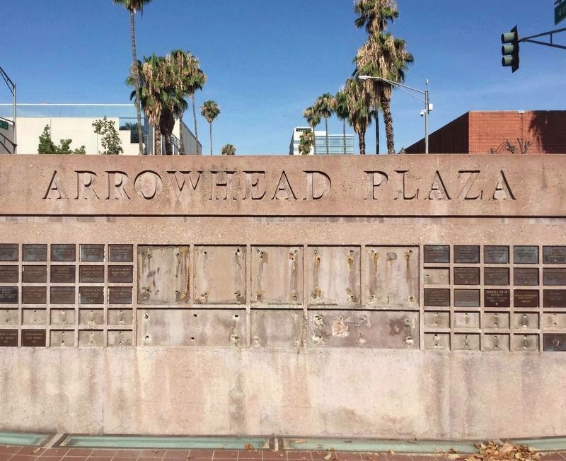
Many markers in the neighborhood are missing.
Photographed by Craig Baker, July 21, 2018
4. Arrowhead Plaza, 2018
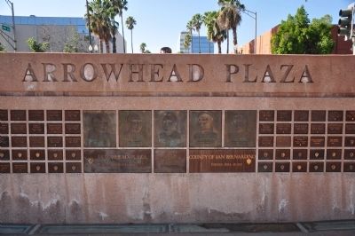
Photographed by Michael Kindig, January 29, 2011
5. Arrowhead Plaza
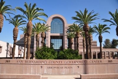
Photographed by Michael Kindig, January 29, 2011
6. Arrowhead Plaza
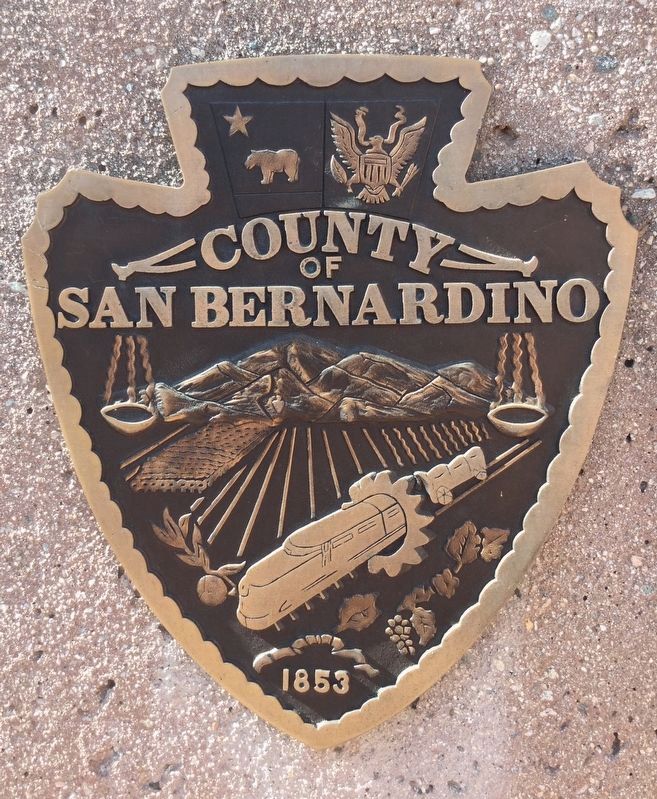
Photographed by Craig Baker, July 21, 2018
7. Arrowhead Plaza
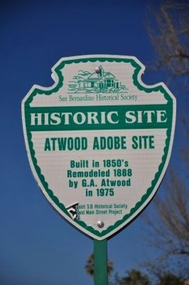
Photographed by Michael Kindig, January 29, 2011
8. Atwood Adobe Site Marker
Atwood Adobe Site
Built in 1850's
Remodeled 1888 by G.A. Atwood in 1975
Credits. This page was last revised on July 23, 2018. It was originally submitted on November 20, 2014, by Michael Kindig of Elk Grove, California. This page has been viewed 1,195 times since then and 53 times this year. Last updated on July 23, 2018, by Craig Baker of Sylmar, California. Photos: 1, 2. submitted on November 20, 2014, by Michael Kindig of Elk Grove, California. 3, 4. submitted on July 22, 2018, by Craig Baker of Sylmar, California. 5, 6. submitted on November 20, 2014, by Michael Kindig of Elk Grove, California. 7. submitted on July 22, 2018, by Craig Baker of Sylmar, California. 8. submitted on November 20, 2014, by Michael Kindig of Elk Grove, California. • Syd Whittle was the editor who published this page.
