Near Old Ocean in Brazoria County, Texas — The American South (West South Central)
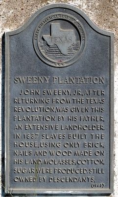
Sweeny Plantation
Photographed by Jim Evans, October 1, 2015
1. Sweeny Plantation Marker
Erected 1965 by State Historical Survey Committee. (Marker Number 9600.)
Topics. This historical marker is listed in this topic list: Notable Places. A significant historical year for this entry is 1837.
Location. 29° 4.941′ N, 95° 45.291′ W. Marker is near Old Ocean, Texas, in Brazoria County. It is at the intersection of Loop State Highway 35 and County Road 374, on the right when traveling east on State Highway 35. Touch for map. Marker is in this post office area: Old Ocean TX 77463, United States of America. Touch for directions.

Regionally, this marker is in the Houston Metropolitan Area. It is also in the American South and on the Gulf Coast. Globally, it is in North America, a Gulf of Mexico state, the Western Hemisphere, the Western World, and the Anglosphere. Historically, it finds itself in what was once New Spain, the Republic of Texas, one of the Confederate States of America, and the Antebellum South.
Other nearby markers. At least 8 other markers are within 8 miles of this marker, measured as the crow flies: Sweeny Family Burial Ground (approx. 3.4 miles away); Sweeny's Unknown Soldier (approx. 3.4 miles away); Thomas Jefferson Sweeny (approx. 3½ miles away); Sweeny Cemetery (approx. 3½ miles away); Phillips Family Cemetery (approx. 5.7 miles away); St. John's Lodge No. 5, A.F. & A.M. (approx. 7.3 miles away); Site of the Home of Josiah Hughes Bell (approx. 7.3 miles away); John Adriance (approx. 7.6 miles away).
this page online
Photographed by Jim Evans, October 1, 2015
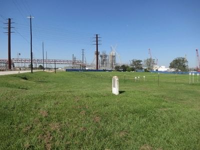
2. Sweeny Plantation Marker and former surrounding area
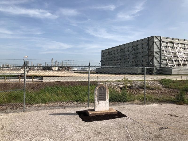
Original location of the marker, which has now been moved outside of the restricted area (as of 2018).
Photographed by Brian Anderson, July 21, 2018
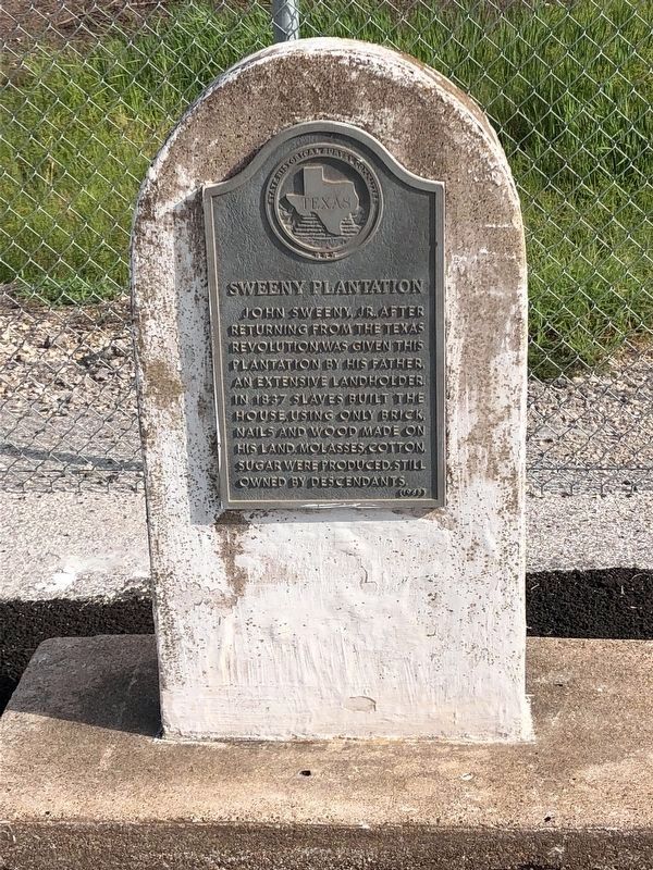
3. Sweeny Plantation Marker
Photographed by Brian Anderson, July 21, 2018
4. Sweeny Plantation Marker In Its New Location
Credits. This page was last revised on July 23, 2018. It was originally submitted on October 4, 2015, by Jim Evans of Houston, Texas. This page has been viewed 2,933 times since then and 218 times this year. Last updated on July 23, 2018, by Brian Anderson of New Albany, Ohio. Photos: 1, 2. submitted on October 4, 2015, by Jim Evans of Houston, Texas. 3, 4. submitted on July 23, 2018, by Brian Anderson of New Albany, Ohio. • Syd Whittle was the editor who published this page.
