Deerfield Township near Mason in Warren County, Ohio — The American Midwest (Great Lakes)
Interurban Railway and Terminal Company: Rapid Railway
Inscription.
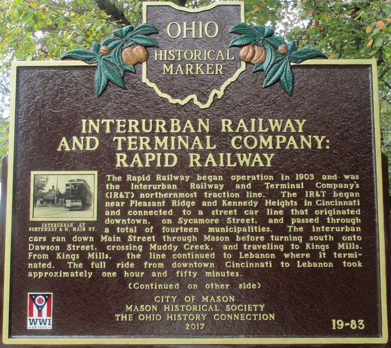
The Rapid Railway began operation in 1903 and was the Interurban Railway and Terminal Company’s (IR&T) northernmost traction line. The IR&T began near Pleasant Ridge and Kennedy Heights in Cincinnati and connected to a street car line that originated downtown, on Sycamore Street, and passed through a total of fourteen municipalities. The interurban cars ran down Main Street through Mason before turning south onto Dawson Street, crossing Muddy Creek, and traveling to Kings Mills. From Kings Mills, the line continued to Lebanon where it terminated. The full ride from downtown Cincinnati to Lebanon took approximately one hour and fifty minutes.
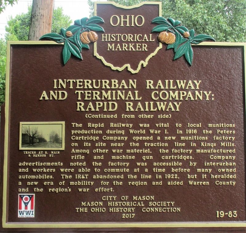
The Rapid Railway was vital to local munitions production during World War I. In 1916 the Peters Cartridge Company opened a new munitions factory on its site near the traction line in Kings Mills. Among other war materiel, the factory manufactured rifle and machine gun cartridges. Company advertisements noted the factory was accessible by interurban and workers were able to commute at a time before many owned automobiles. The IR&T abandoned the line in 1922, but it heralded a new era of mobility for the region and aided Warren County and the region’s war effort.
Erected 2017 by City of Mason, Mason Historical Society and the Ohio History Connection. (Marker Number 19-83.)
Topics and series. This historical marker is listed in this topic list: Railroads & Streetcars. In addition, it is included in the Ohio Historical Society / The Ohio History Connection series list. A significant historical year for this entry is 1903.
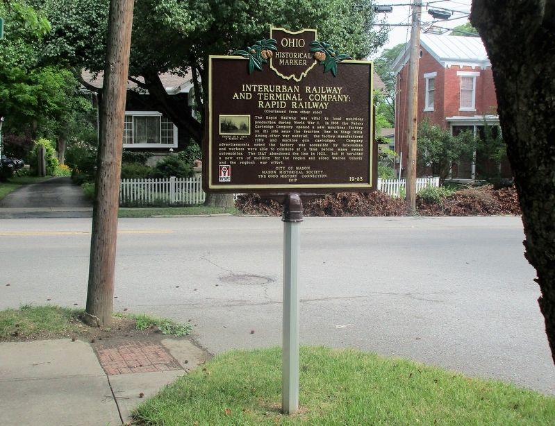
Location. 39° 21.719′ N, 84° 18.289′ W. Marker is near Mason, Ohio, in Warren County. It is in Deerfield Township. Marker is at the intersection of East Main Street (U.S. 42) and Dawson Street, on the left when traveling south on East Main Street. Touch for map. Marker is at or near this postal address: 211 East Main Street, Mason OH 45040, United States of America. Touch for directions.
Other nearby markers. At least 8 other markers are within 3 miles of this marker, measured as the crow flies. Blaw-Knox Antenna (approx. 1.4 miles away); 2007 - 2011 (approx. 2.4 miles away); 2002 - 2006 (approx. 2.4 miles away); 2012 - 2016 (approx. 2.4 miles away); 1972 (approx. 2.4 miles away); 2022 (approx. 2.4 miles away); 1973 (approx. 2.4 miles away); 1974 (approx. 2.4 miles away).
Credits. This page was last revised on July 30, 2023. It was originally submitted on July 24, 2018, by Rev. Ronald Irick of West Liberty, Ohio. This page has been viewed 553 times since then and 42 times this year. Photos: 1, 2, 3. submitted on July 24, 2018, by Rev. Ronald Irick of West Liberty, Ohio. • Andrew Ruppenstein was the editor who published this page.


