Binnenstad in Amsterdam, North Holland, Netherlands — Northwestern Europe
Dominicuskerk / Dominican Church
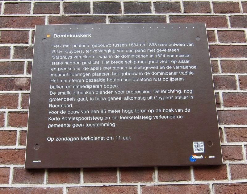
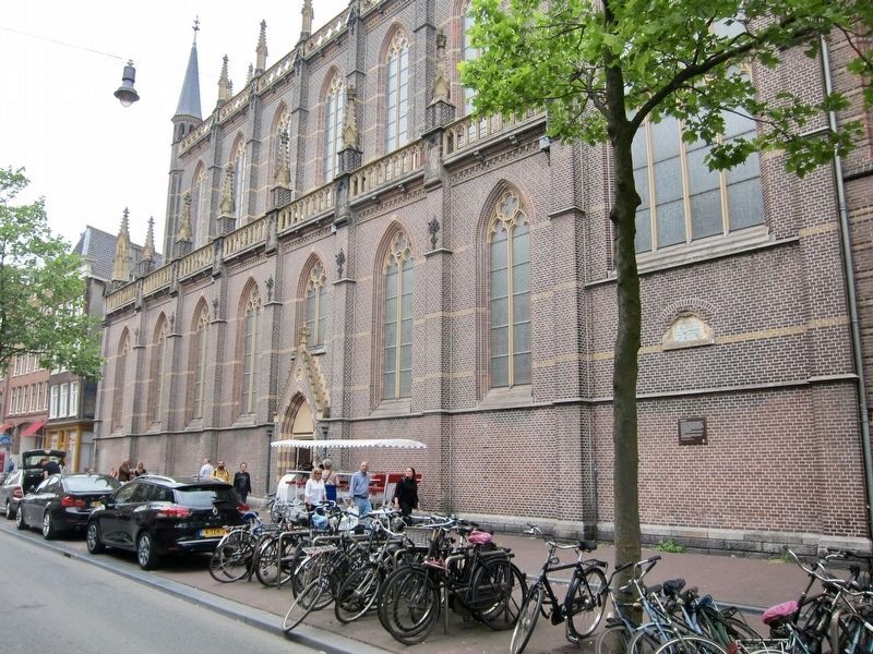
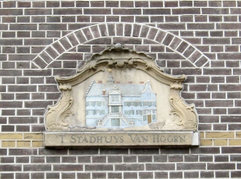
Kerk met pastorie, gebouwd tussen 1884 en 1893 naar ontwerp van PJ.H. Cuypers, ter vervanging van een pand met gevelsteen "Stadhuys van Hoorn", waarin de dominicanen in 1624 een missiestatie hadden gesticht. Het brede schip met goed zicht op altaar en preekstoel, de apsis met stenen kruisribgewelf en de verhalende muurschilderingen plaatsen het gebouw in de dominicaner traditie. Het met sterren bezaaide houten schipplafond rust op ijzeren balken en smeedijzeren bogen.
De smalle zijbeuken dienden voor processies. De inrichting, nog grotendeels gaaf, is bijna geheel afkomstig uit Cuypers' atelier in Roermond.
Voor de bouw van een 85 meter hoge toren op de hoek van de Korte Korsjespoortsteeg en de Teerketelsteeg verleende de gemeente geen toestemming.
Op zondagen kerkdienst om 11 uur.
-
Church with presbytery, built between 1884 and 1893 according to a design by P.J.H. Cuypers, replacing a building with a "City Hall of Hoorn" plaque, in which the Dominicans had founded a evangelizing mission in 1624. The wide nave with a good view of the altar and pulpit, the apse with stone cross-ribbed vaults, and the narrative wall paintings all place the building within the Dominican tradition. The star-studded wooden nave ceiling rests on iron beams and wrought iron arches.
The narrow side aisles served for processions. The interior, which is still largely intact, comes almost entirely from Cuypers' studio in Roermond.
The municipality did not grant permission for the construction of an 85-meter high tower on the corner of the Korte Korsjespoortsteeg and the Teerketelsteeg (i.e, the tower on the southwest corner of the church structure).
Services are held at 11am on Sundays.
Erected by The ANWB. (Marker Number 35808/001.)
Topics. This historical marker is listed in this topic list: Churches & Religion. A significant historical year for this entry is 1884.
Location. 52° 22.622′ N, 4° 53.613′ E. Marker is in Amsterdam, Noord-Holland (North Holland). It is in Binnenstad. Marker is on Spuisstraat just north of Korte Korsjespoortsteeg. Touch for map. Marker is at or near this postal address: Spuisstraat 12, Amsterdam, Noord-Holland 1012 TS, Netherlands. Touch for directions.
Other nearby markers. At least 8 other markers are within walking distance of this marker. Casparus Commelin (approx. 0.2 kilometers away); Joost van den Vondel (approx. 0.4 kilometers away); a different marker also named Joost van den Vondel
(approx. 0.4 kilometers away); Dirck Volckertsz Coornhert (approx. 0.4 kilometers away); Bier was hier / Beer was here (approx. 0.4 kilometers away); Salomon Verbeeck (approx. 0.4 kilometers away); Jan Pietersz Sweelinck (approx. 0.4 kilometers away); Chet Baker (approx. 0.4 kilometers away). Touch for a list and map of all markers in Amsterdam.
Also see . . . Dominicuskerk (Amsterdam) (Wikipedia, in Dutch). (Submitted on July 31, 2018.)
Credits. This page was last revised on February 3, 2023. It was originally submitted on July 31, 2018, by Andrew Ruppenstein of Lamorinda, California. This page has been viewed 166 times since then and 9 times this year. Photos: 1, 2, 3. submitted on July 31, 2018, by Andrew Ruppenstein of Lamorinda, California.


