Havilah in Kern County, California — The American West (Pacific Coastal)
Historic Havilah
Havilah Centennial Group (Havilah Historical Society)
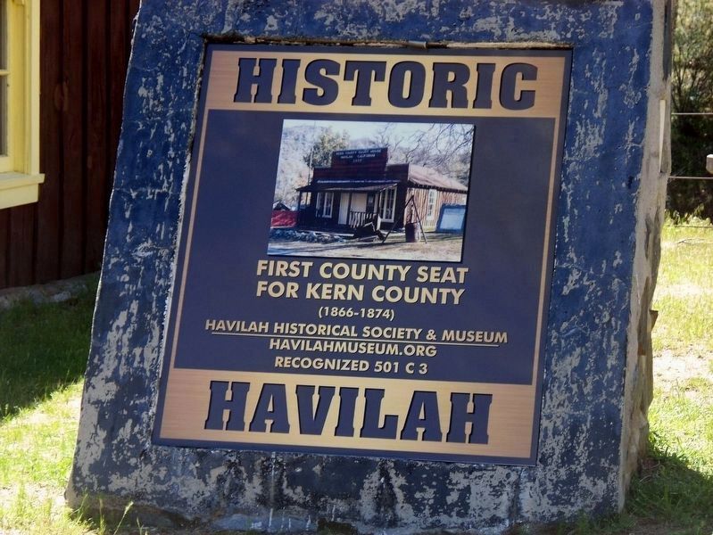
1. Historic Havilah Marker
for Kern County
1866 - 1874
Erected 2017 by Havilah Historical Society.
Topics. This historical marker is listed in this topic list: Government & Politics. A significant historical year for this entry is 1866.
Location. 35° 31.092′ N, 118° 30.978′ W. Marker is in Havilah, California, in Kern County. It is on Caliente-Bodfish Road, on the right when traveling north. Touch for map. Marker is at or near this postal address: 6789 Caliente-Bodfish Road, Caliente CA 93518, United States of America. Touch for directions.

Regionally, this marker is in the San Joaquin Valley, specifically in the Central Valley, and in the Sierra Nevada. It is also on the American Pacific Coast. Globally, it is in North America, on the Ring of Fire, on the Pacific Rim, in the Western Hemisphere, in the Western World, and in the Anglosphere. Historically, it finds itself in what was once New Spain and also Mexico’s Alta California.
Other nearby markers. At least 8 other markers are within 8 miles of this marker, measured as the crow flies: Havilah (here, next to this marker); Stage Robbery! (a few steps from
this page online
Havilah Centennial Group (Havilah Historical Society)
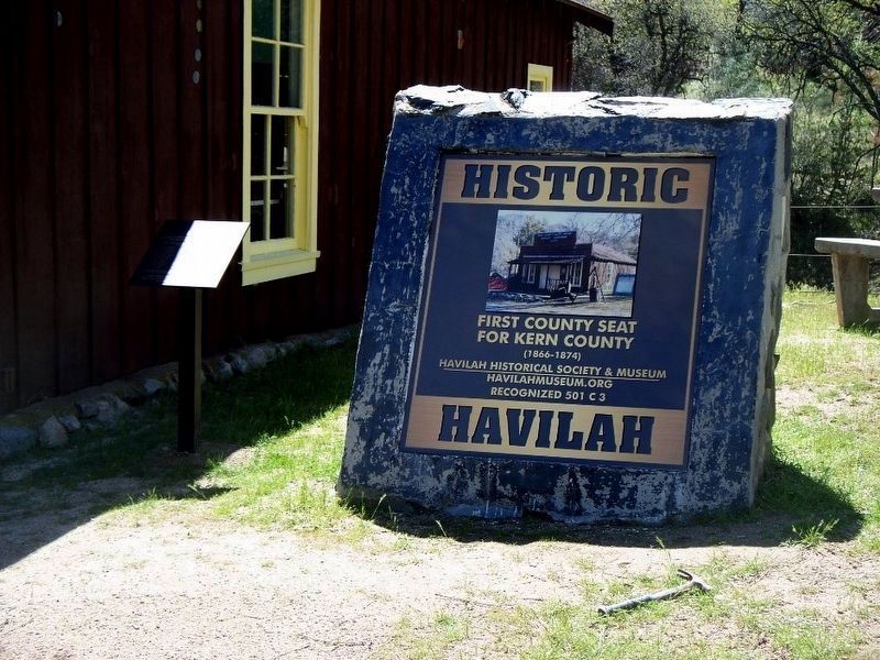
2. Historic Havilah Marker and Small Dedication Marker
Havilah Centennial Group (Havilah Historical Society)
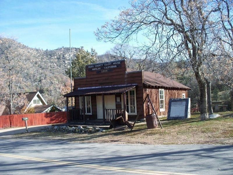
3. Havilah Courthouse and Marker
The marker base seen in this photo is holding an old marker which had become unreadable. It was replaced with this new one. The courthouse was destroyed by the 2024 Borel Fire.
Havilah Centennial Group (Havilah Historical Society)
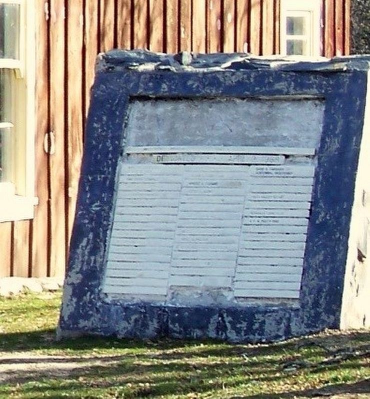
4. Old Marker - Replaced
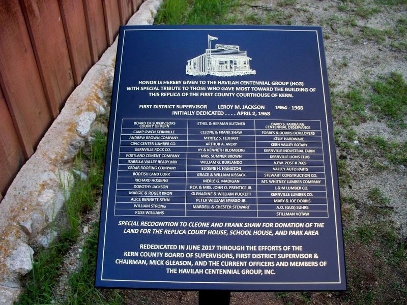
Havilah Centennial Group (Havilah Historical Society)
5. Dedication Marker seen to the left of the marker
Click on photo to enlarge.

Photographed by Ryan Babroff/SoCal Fire Photo
6. Historic Havilah Marker
The town was destroyed by the Borel Fire on July 26, 2024.
Credits. This page was last revised on May 7, 2026. It was originally submitted on August 3, 2018, by Syd Whittle of Mesa, Arizona. This page has been viewed 634 times since then and 33 times this year. Photos: 1, 2, 3, 4, 5. submitted on August 3, 2018, by Syd Whittle of Mesa, Arizona. 6. submitted on July 28, 2024, by Craig Baker of Sylmar, California.
