Garrison Corner Community
Side A
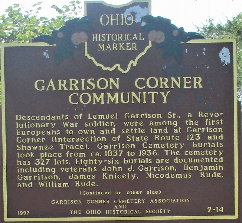
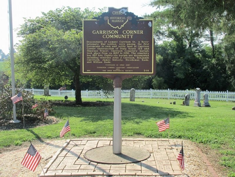
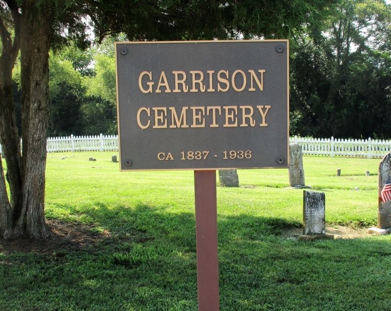
Descendants of Lemuel Garrison Sr., a Revolutionary War soldier, were among the first Europeans to own and settle land at Garrison Corner (intersection of State Route 123 and Shawnee Trace) . Garrison Cemetery burials took place from ca. 1837 to 1936. The cemetery has 327 lots. Eighty-six burials are documented including veterans John J. Garrsion, Benjamin Garritson, James Knicely, Nicodemus Rude, and William Rude.
Side B
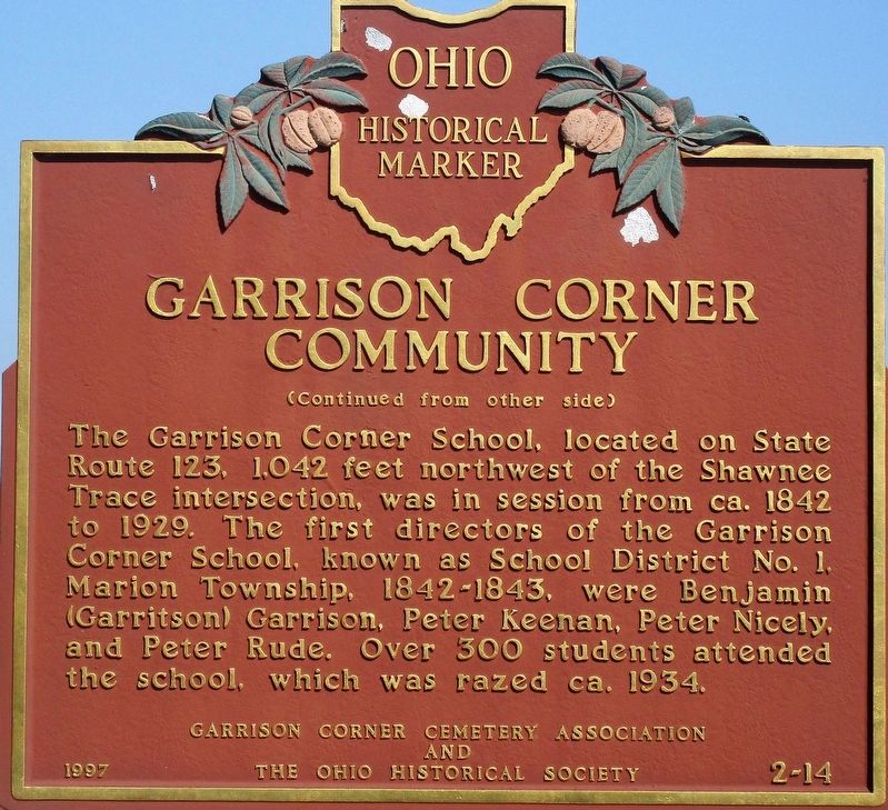
The Garrison Corner School, located on State Route 123, 1,042 feet northwest of the Shawnee Trace intersection, was in session from ca. 1842 to 1929. The first directors of the Garrison Corner School, known as School District #1, Marion Township, 1842-1843, were Benjamin (Garritson) Garrison, Peter Keenan, Peter Nicely, and Peter Rude. Over 300 students attended the school, which was razed ca. 1934.
Erected 1997 by Garrison Corner Cemetery Association The Ohio Historical Society. (Marker Number 2-14.)
Topics and series. This memorial is listed in these topic lists: Cemeteries & Burial Sites • Education • Settlements & Settlers • War, US Revolutionary. In addition, it is included in the Ohio Historical Society / The Ohio History Connection series list.
Location.
Other nearby markers. At least 8 other markers are within 6 miles of this marker, measured as the crow flies. Garrison Corner GAR Monument (here, next to this marker); Sgt. Chester H. Wilson (approx. 1.2 miles away); Blanchester Veterans' Memorial Park (approx. 1.2 miles away); WWII Killed in Action (approx. 1.2 miles away); Westboro Civil War Memorial (approx. 3˝ miles away); Xenia State Road Old Indian Trail Monument (approx. 5.3 miles away); Fayetteville Veterans Memorial (approx. 5.8 miles away); The Ursulines of Brown County (approx. 6.1 miles away). Touch for a list and map of all markers in Blanchester.
Credits. This page was last revised on August 4, 2018. It was originally submitted on August 3, 2018, by Rev. Ronald Irick of West Liberty, Ohio. This page has been viewed 340 times since then and 62 times this year. Photos: 1, 2, 3, 4, 5. submitted on August 3, 2018, by Rev. Ronald Irick of West Liberty, Ohio. • Bill Pfingsten was the editor who published this page.
