Mancos in Montezuma County, Colorado — The American Mountains (Southwest)
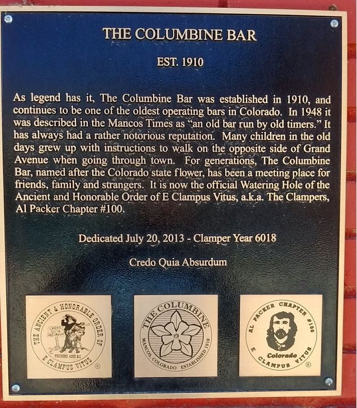
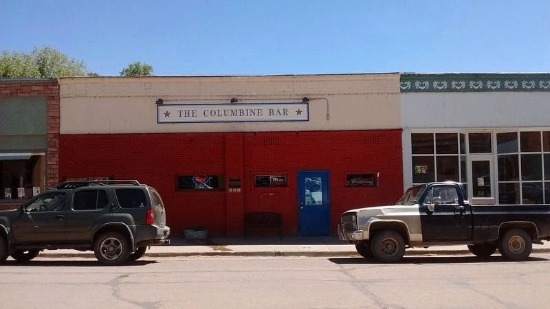
The Columbine Bar
Est. 1910
As legend has it, The Columbine Bar was established in 1910, and continues to be one of the oldest operating bars in Colorado. In 1948 it was described in the Mancos Times as "an old bar run by old timers." It has always had a rather notorious reputation. Many children in the old days grew up with instructions to walk on the opposite side of Grand Avenue when going through town. For generations, The Columbine Bar, named after the Colorado state flower, has been a meeting place for friends, family and strangers. It is now the official Watering Hole of the Ancient and Honorable Order of E Clampus Vitus, a.k.a. The Clampers, Al Packer Chapter #100. Credo Quia Absurdum
Erected 2013 by E Clampus Vitus, Al Packer Chapter #100.
Topics and series. This historical marker is listed in this topic list: Notable Buildings. In addition, it is included in the E Clampus Vitus series list. A significant historical date for this entry is July 20, 2013.
Location. 37° 20.703′ N, 108° 17.388′ W. Marker is in Mancos, Colorado, in Montezuma County. Marker is on Grand Avenue (Business U.S. 160) east of Mesa Street, on the right when traveling east. Touch for map. Marker is at or near this postal address: 123 Grand Avenue, Mancos CO 81328, United States of America. Touch for directions.
Other nearby markers. At least 8 other markers are within 9 miles of this marker, measured as the crow flies . Mancos Opera House (a few steps from this marker); 1892 Horse-Drawn Pull Grader (within shouting distance of this marker); Bauer House (about 600 feet away, measured in a direct line); Mancos High School (approx. 0.2 miles away); Cedar Grove Cemetery Veterans' Memorial (approx. 0.7 miles away); Mancos Valley (approx. 7.2 miles away); Southwest Survival (approx. 8˝ miles away); Mesa Verde Country (approx. 8˝ miles away). Touch for a list and map of all markers in Mancos.
Also see . . . Clampers toast the Columbine Bar. The Journal website entry, 2013 (Submitted on August 4, 2018, by Tom Bosse of Jefferson City, Tennessee.)
Credits. This page was last revised on July 16, 2022. It was originally submitted on August 4, 2018, by Tom Bosse of Jefferson City, Tennessee. This page has been viewed 272 times since then and 24 times this year. Photos: 1, 2. submitted on August 4, 2018, by Tom Bosse of Jefferson City, Tennessee. • Syd Whittle was the editor who published this page.

