Pluma in Lawrence County, South Dakota — The American Midwest (Upper Plains)
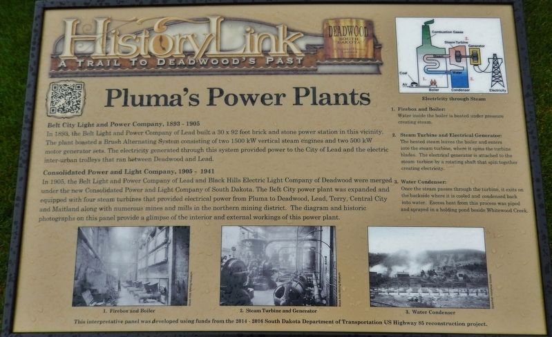
Pluma's Power Plants
Belt City Light and Power Company, 1893 – 1905
In 1893, the Belt Light and Power Company of Lead built a 30 x 92 foot brick and stone power station in this vicinity. The plant boasted a Brush Alternating System consisting of two 1500 kW vertical steam engines and two 500 kW motor generator sets. The electricity generated through this system provided power to the City of Lead and the electric inter-urban trolleys that ran between Deadwood and Lead.
Consolidated Power and Light Company, 1905 – 1941
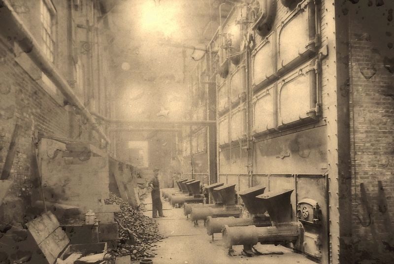
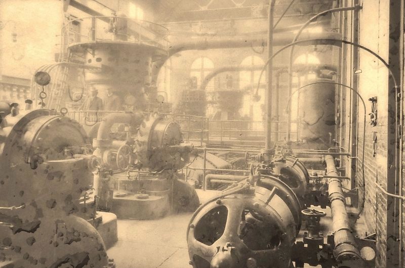
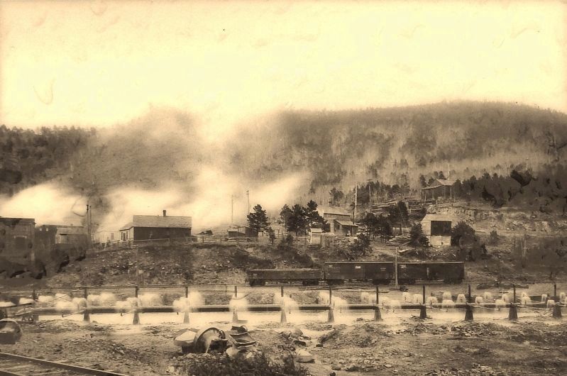
In 1905, the Belt Light and Power Company of Lead and Black Hills Electric Light Company of Deadwood were merged under the new Consolidated Power and Light Company of South Dakota. The Belt City power plant was expanded and equipped with four steam turbines that provided electrical power from Pluma to Deadwood, Lead, Terry, Central City and Maitland along with numerous mines and mills in the northern mining district. The diagram and historic photographs on this panel provide a glimpse of the interior and external workings of this power plant.
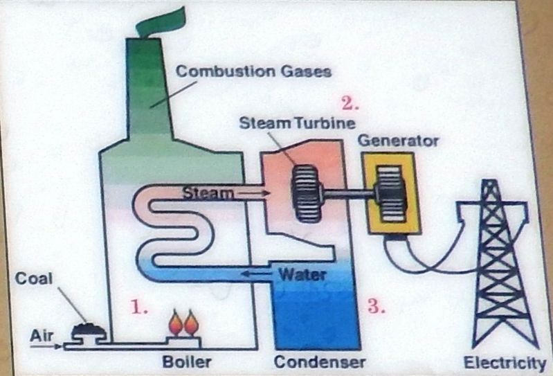
Electricity through Steam
1. Firebox and Boiler:
Water inside the boiler is heated under pressure creating steam.
2. Steam Turbine and Electrical Generator:
The heated steam leaves the boiler and enters into the steam turbine, where it spins the turbine blades. The electrical generator is attached to the steam turbine by a rotating shaft that spin together creating electricity.
3. Water Condenser:
Once the steam passes through the turbine, it exits on the backside where it is cooled and condensed back into water. Excess heat from this process was piped and sprayed in a holding pond beside Whitewood Creek.
Erected by The Deadwood Historic Preservation Commission.
Topics. This historical marker is listed in this topic list: Industry & Commerce.
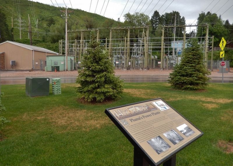
Location. 44° 21.56′ N, 103° 44.333′ W. Marker is in Pluma, South Dakota, in Lawrence County. Marker is on CanAm Highway (U.S. 85) north of U.S. 385, on the left when traveling north. Marker is located behind (south of) the Pluma, South Dakota Visitor Center, overlooking the current power substation across the highway. Touch for map. Marker is in this post office area: Deadwood SD 57732, United States of America. Touch for directions.
Other nearby markers. At least 8 other markers are within walking distance of this marker. Pluma: Right Place, Right Time (a few steps from this marker); Good Roads Movement & Lawrence County (within shouting distance of this marker); Flooding & The Railroads (within shouting distance of this marker); George S. Mickelson Trail (within shouting distance of this marker); Cheyenne & Deadwood Stage Route (within shouting distance of this marker); Rev. L.R.S. Ferguson Ski & Sled Area
(approx. 0.8 miles away); Cleveland (approx. 0.8 miles away); Partners in Land Preservation (approx. 0.8 miles away). Touch for a list and map of all markers in Pluma.
More about this marker. Marker is a large composite plaque, mounted horizontally on two waist-high posts.
Also see . . . Consolidating Power. In the Black Hills, the movement toward consolidation was led by two new local companies: Consolidated Power and Light Company and Dakota Power Company. Between 1905 and the late 1920s, these two companies gradually acquired all of the independent electric companies in the Black Hills region. Consolidated Power and Light was initially managed by Harris Franklin. Franklin, born Finkelstein, was a Jewish Polish immigrant who had come to the United States as a teenager at the end of the Civil War. He made a fortune from his various investments in saloons, hotel rooms, cattle and banking in Deadwood’s pioneer days. (Submitted on August 6, 2018, by Cosmos Mariner of Cape Canaveral, Florida.)
Credits. This page was last revised on October 19, 2020. It was originally submitted on August 4, 2018, by Cosmos Mariner of Cape Canaveral, Florida. This page has been viewed 237 times since then and 20 times this year. Photos: 1. submitted on August 4, 2018, by Cosmos Mariner of Cape Canaveral, Florida. 2, 3, 4, 5, 6. submitted on August 6, 2018, by Cosmos Mariner of Cape Canaveral, Florida. • Andrew Ruppenstein was the editor who published this page.
