Center Point in Howard County, Arkansas — The American South (West South Central)
Center Point
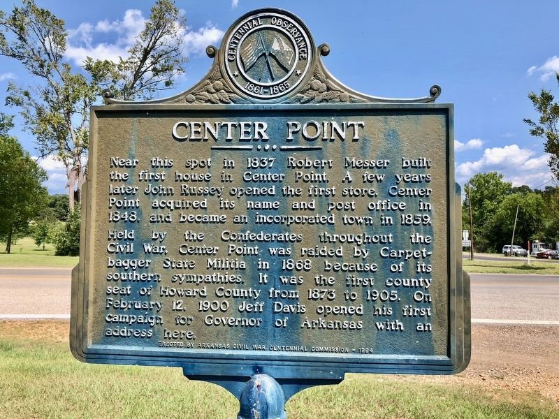
Near this spot in 1837 Robert Messer built the first house in Center Point. A few years later John Russey opened the first store. Center Point acquired its name and post office in 1848, and became an incorporated town in 1859.
Held by the Confederates throughout the Civil War, Center Point was raided by Carpetbagger State Militia in 1868 because of its southern sympathies. It was the first county seat of Howard County from 1873 to 1905. On February 12, 1900 Jeff Davis opened his first campaign for Governor of Arkansas with an address here.
Erected 1964 by Arkansas Civil War Centennial Commission.
Topics. This historical marker is listed in these topic lists: Political Subdivisions • Settlements & Settlers • War, US Civil. A significant historical date for this entry is February 12, 1900.
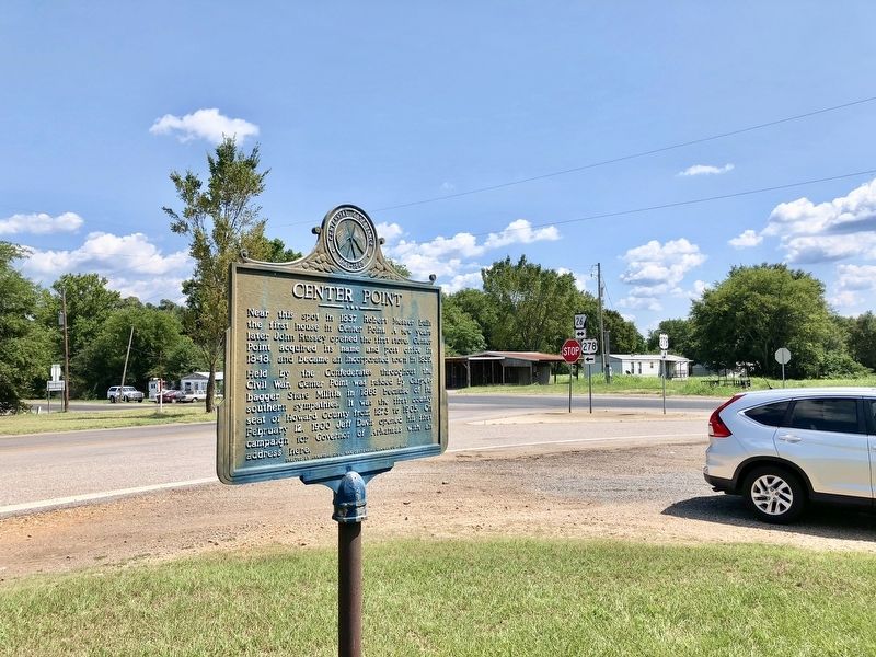
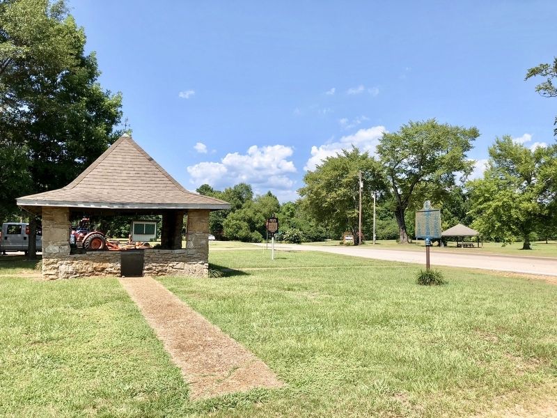
Location. 34° 1.605′ N, 93° 56.863′ W. Marker is in Center Point, Arkansas, in Howard County. Marker is at the intersection of U.S. 278 and State Route 26, on the left when traveling north on U.S. 278. Located near a gazebo in a small, corner park. Touch for map. Marker is in this post office area: Nashville AR 71852, United States of America. Touch for directions.
Other nearby markers. At least 1 other marker is within walking distance of this marker. Howard County in the Civil War (a few steps from this marker).
Also see . . . Center Point, Howard County. Encyclopedia of Arkansas Website entry (Submitted on August 5, 2018, by Mark Hilton of Montgomery, Alabama.)
Credits. This page was last revised on March 25, 2021. It was originally submitted on August 5, 2018, by Mark Hilton of Montgomery, Alabama. This page has been viewed 338 times since then and 40 times this year. Photos: 1, 2, 3. submitted on August 5, 2018, by Mark Hilton of Montgomery, Alabama.


