Georgetown in Northwest Washington in Washington, District of Columbia — The American Northeast (Mid-Atlantic)
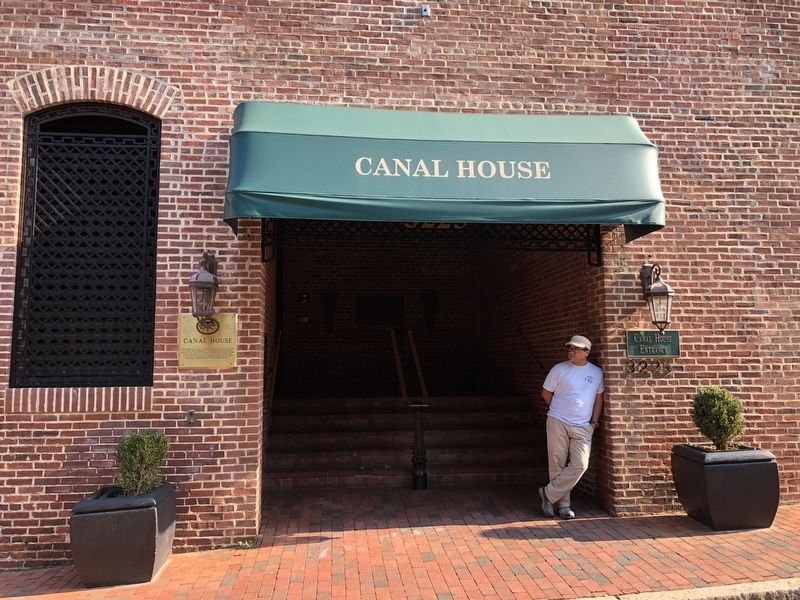
Canal House
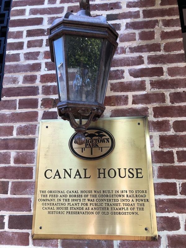
Erected by Georgetown Park.
Topics and series. This historical marker is listed in these topic lists: Animals • Industry & Commerce • Railroads & Streetcars. In addition, it is included in the Chesapeake and Ohio (C&O) Canal series list. A significant historical year for this entry is 1878.
Location. 38° 54.241′ N, 77° 3.849′ W. Marker is in Northwest Washington in Washington, District of Columbia. It is in Georgetown. It is at the intersection of Grace Street Northwest and Paper Mill Court Northwest, on the right when traveling west on Grace Street Northwest. Touch for map. Marker is at or near this postal address: 3225 Grace Street Northwest, Washington DC 20007, United States of America. Touch for directions.

Regionally, this marker is in the Washington Metropolitan Area. It is also in the American Northeast, in the Upper
this page online
Other nearby markers. At least 8 other markers are within walking distance of this marker: Chesapeake & Ohio Canal (about 400 feet away, measured in a direct line); World War I Memorial (about 500 feet away); Georgetown's First Market (about 500 feet away); The City Tavern (about 500 feet away); Crossroads of Georgetown (about 500 feet away); Potomac No. 5 (about 600 feet away); An Intimate and Community Experience (about 700 feet away); Richard Pitts (about 700 feet away). Touch for a list and map of all markers in Northwest Washington.
Credits. This page was last revised on January 30, 2023. It was originally submitted on August 6, 2018, by Devry Becker Jones of Washington, District of Columbia. This page has been viewed 847 times since then and 72 times this year. Photos: 1, 2, 3. submitted on August 6, 2018, by Devry Becker Jones of Washington, District of Columbia. • Bill Pfingsten was the editor who published this page.
