Near Leola in Grant County, Arkansas — The American South (West South Central)
Confederate Headquarters / Confederate Flank Attack
Inscription.
Confederate Gen. Edmund Kirby Smith led troops from Louisiana on a forced march to attack Gen. Frederick Steele’s Union army as it crossed the Saline River to retreat to Little Rock. He arrived here on April 29, 1864, and established his headquarters to plan his attack on Steele’s army and wagon train the next day. As many as 20,000 men, many having just fought Union Gen. Nathaniel Banks’s army at Mansfield, La., marched through here in pursuit of Steele. The battle of Jenkins’ Ferry would be fought April 30 along Cox’s Creek southwest of the Saline.
On April 30, 1864, Confederate Gen. Thomas Dockery’s Arkansas brigade marched across Cox’s Creek north of here to attempt a flank attack on Union soldiers defending Gen. Frederick Steele’s army as it crossed the swollen Saline River on a pontoon bridge. Seeing the threat to their right, men of the 43rd Indiana and 2nd Kansas Colored Infantry waded across the flooded creek to confront Dockery’s Arkansas troops. The opponents battled for around 90 minutes in the heavily wooded area before the Confederates were told to fall back to rejoin the main force.
Erected 2015 by Arkansas Civil War Sesquicentennial Commission, Friends of Jenkins’ Ferry Battlefield, Arkansas Humanities Council, Department of Arkansas Heritage, Arkansas Historic Preservation Program. (Marker Number 112.)
Topics and series. This historical marker is listed in this topic list: War, US Civil. In addition, it is included in the Arkansas Civil War Sesquicentennial Commission series list. A significant historical date for this entry is April 29, 1864.
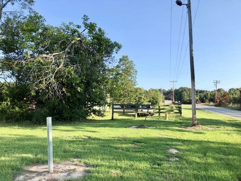
Location. Marker is missing. It was located near 34° 10.997′ N, 92° 35.783′ W. Marker was near Leola, Arkansas, in Grant County. Marker could be reached from Arkansas Route 229, 0.4 miles north of Lee Street, on the right when traveling north. Located just to north of the Kisatchie Pole & Piling Company. Touch for map. Marker was in this post office area: Leola AR 72084, United States of America. Touch for directions.
Other nearby markers. At least 8 other markers are within 8 miles of this location, measured as the crow flies. Officers Killed / Union Wounded (approx. half a mile away); Skirmish at Guesses Creek (approx. 2.8 miles away); Red River Campaign (approx. 3.4 miles away); Jenkins Ferry / Pontoon Bridge (approx. 3.4 miles away); General Samuel Rice / Confederate Cannons Captured (approx. 3.4 miles away); Battle of Jenkins' Ferry (approx. 3.4 miles away); Refugee Children / Supplies Destroyed (approx. 5.3 miles away); Tulip (approx. 7.6 miles away). Touch for a list and map of all markers in Leola.

