New Haven in Franklin County, Missouri — The American Midwest (Upper Plains)
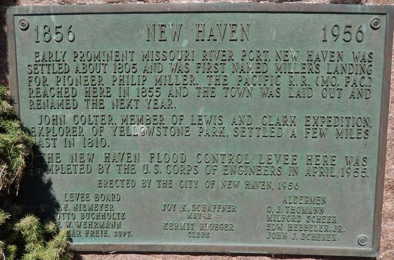
New Haven
1856 - 1956
Photographed by Cosmos Mariner, September 11, 2017
1. New Haven Marker
John Colter, member of Lewis and Clark Expedition, explorer of Yellowstone Park, settled a few miles east in 1810.
The New Haven Flood Control Levee here was completed by the U.S. Corps of Engineers in April, 1955.
C.F. Niemeyer, Otto Buchholtz, R.W. Wehrmann, Oscar Freie, Supt.
Joy K. Schaffner, Mayor
Kermit Ploeger, Clerk
Aldermen
O.J. Thomann, Milford Scheer, Edw. Hebbeler, Jr., John J. Scherer
Erected 1956 by City of New Haven, Missouri.
Topics. This historical marker is listed in these topic lists: Railroads & Streetcars • Settlements & Settlers. A significant historical year for this entry is 1856.
Location. 38° 36.897′ N, 91° 12.79′ W. Marker is in New Haven, Missouri, in Franklin County. It is at the intersection of Main Street and Miller Street, on the left when traveling east on Main Street. Marker is located
this page online

Regionally, this marker is in the Missouri River Corridor and in Greater St. Louis. It is also in the American Midwest, in the Lewis & Clark Corridor, in the Corn Belt, and on the Santa Fe Trail Corridor. Globally, it is in North America, the Western Hemisphere, the Western World, and the Anglosphere. Historically, it finds itself in what was once the territory of the Mississippian Culture, the Louisiana Purchase, and the Antebellum South.
Other nearby markers. At least 8 other markers are within walking distance of this marker: Colter's Escape from the Blackfeet (a few steps from this marker); Private John Colter (a few steps from this marker); The Lewis and Clark Expedition (a few steps from this marker); a different marker also named Private John Colter (a few steps from this marker); From the Mountains to Missouri (a few steps from this
Photographed by Cosmos Mariner, September 11, 2017
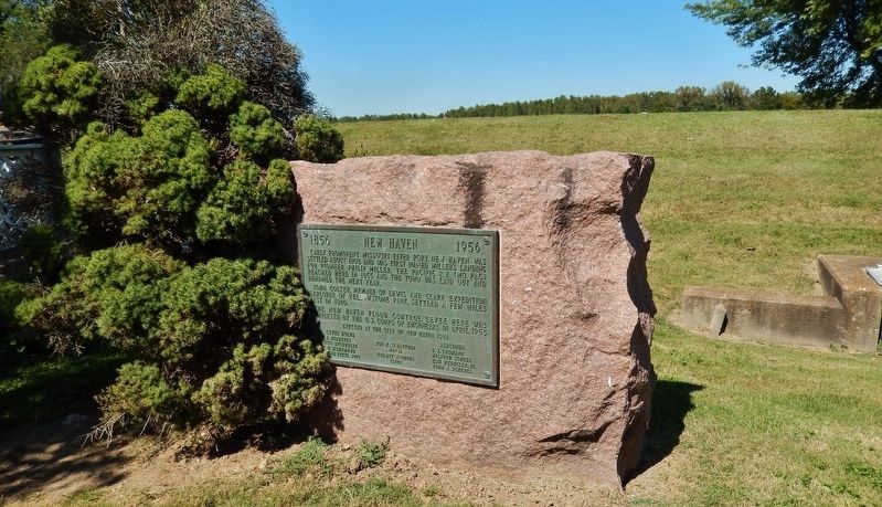
2. New Haven Marker (wide view; New Haven Flood Control Levee in background)
More about this marker. Marker is a large metal tablet, mounted at knee-level on a large, rough-cut boulder.
Photographed by Cosmos Mariner, September 11, 2017
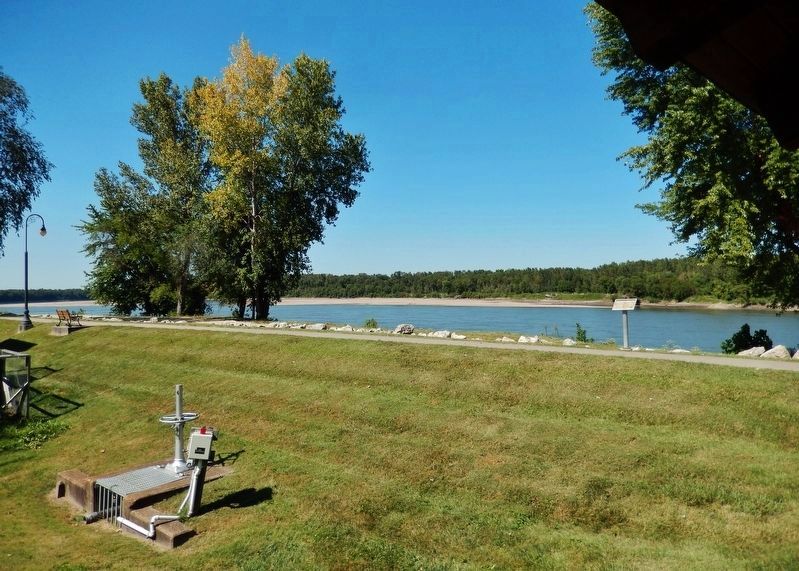
3. New Haven Flood Control Levee (behind marker; helps protect New Haven from Missouri River)
Photographed by Cosmos Mariner, September 11, 2017
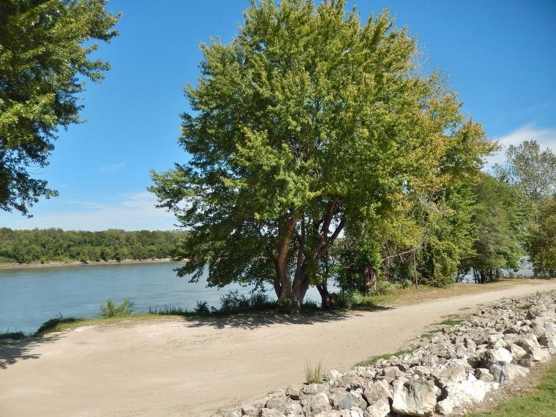
4. New Haven Flood Control Levee (view from near marker)
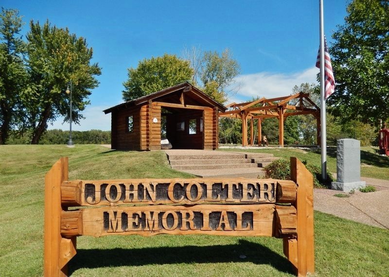
Photographed by Cosmos Mariner, September 11, 2017
5. John Colter Memorial Park (marker located at east end of park; beyond left side of frame)
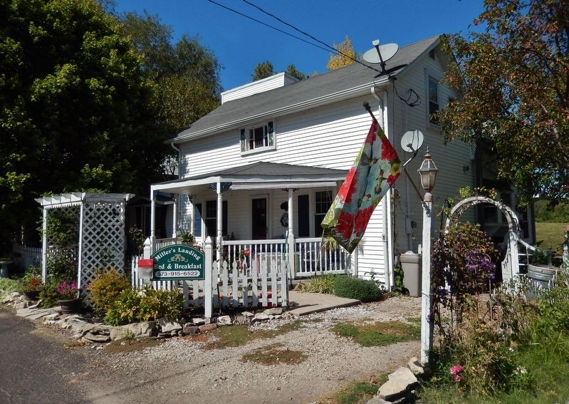
Photographed by Cosmos Mariner, September 11, 2017
6. Bed & Breakfast (located just east of John Colter Memorial Park & adjacent to marker)
Credits. This page was last revised on August 8, 2018. It was originally submitted on August 7, 2018, by Cosmos Mariner of Cape Canaveral, Florida. This page has been viewed 666 times since then and 51 times this year. Photos: 1, 2, 3, 4, 5, 6. submitted on August 7, 2018, by Cosmos Mariner of Cape Canaveral, Florida. • Andrew Ruppenstein was the editor who published this page.
