Harpster in Idaho County, Idaho — The American West (Mountains)
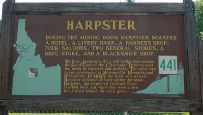
Harpster
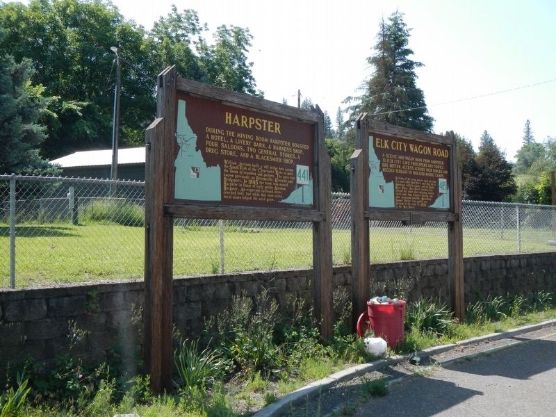
William Jackson built a toll bridge here across the South Fork of the Clearwater to meet the needs of travelers and packers. The area was known previously as Brownsville, Riverside and Bridgeport. In 1895 the town was named Harpster in honor of early settler Abraham Harpster. An expected railroad never reached here, but while they were active, local mines helped the area grow.
Erected by Idaho Department of Transportation. (Marker Number 441.)
Topics and series. This historical marker is listed in this topic list: Settlements & Settlers. In addition, it is included in the Idaho State Historical Society series list.
Location. 45° 59.213′ N, 115° 57.803′ W. Marker is in Harpster, Idaho, in Idaho County. Marker is on State Highway 13 near Bridge Street, on the right when traveling north. Touch for map. Marker is at or near this postal address: 2960 Idaho Highway 13, Stites ID 83552, United States of America. Touch for directions.
Other nearby markers. At least 8 other markers are within 9 miles of this marker, measured as the crow flies. Elk City Wagon Road (within shouting distance of this marker); Nimiipuu Cycle of Life (approx. 2.6 miles away); Nez Perce War (approx. 6.2 miles away); Mount Idaho (approx. 8.1 miles away); The ADVANCE Steam Traction Engine (approx. 8.8 miles away); Tolo, Alab-lemot (approx. 8.9 miles away); The Eimers Legacy (approx. 8.9 miles away); Home on the Grange (approx. 8.9 miles away).
Credits. This page was last revised on August 8, 2018. It was originally submitted on August 8, 2018, by Barry Swackhamer of Brentwood, California. This page has been viewed 300 times since then and 27 times this year. Photos: 1, 2. submitted on August 8, 2018, by Barry Swackhamer of Brentwood, California.

