Swept Away
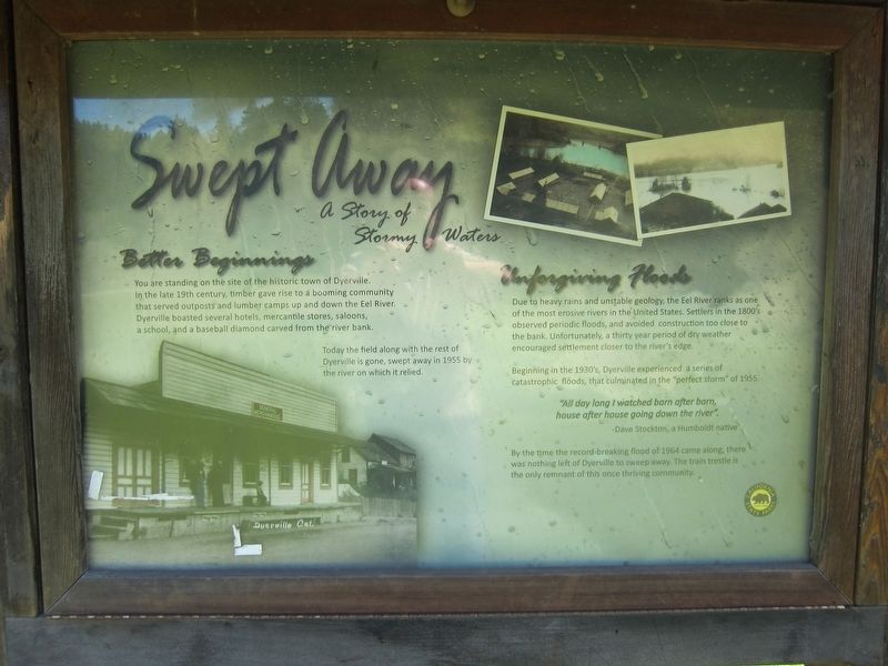
A Story of Stormy Waters
Better Beginnings
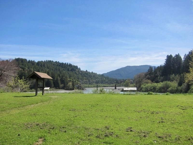
You are standing on the site of the historic town of Dyerville. In the late 19th century, timber gave rise to a booming community that served outposts and lumber camps up and down the Eel River. Dyerville boasted several hotels, mercantile stores, saloons, a school, and a baseball diamond carved from the river bank.
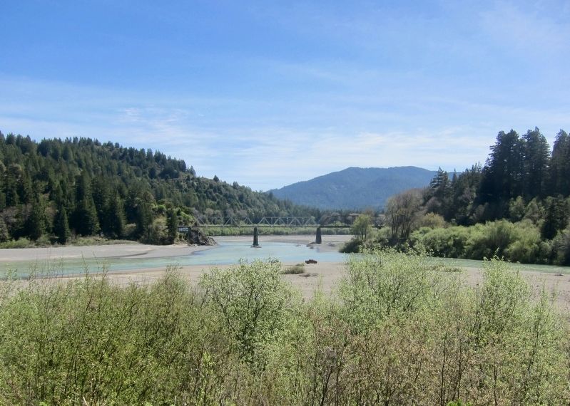
Today the field along with the rest of Dyerville is gone, swept away in 1955 by the river on which it relied.
Unforgiving Floods
Due to heavy rains and unstable geology, the Eel River ranks as one of the most erosive rivers in the United States. Settlers in the 1800's observed periodic floods, and avoided construction too close to the bank. Unfortunately, a thirty year period of dry weather encouraged settlement closer to the river's edge.
Beginning in the 1930's, Dyerville experienced a series of catastrophic floods, that culminated in the "perfect storm” of 1955.
"All day long I watched barn after barn,
house after house going down the river".
Dave Stockton, a Humboldt native
By the time the record-breaking flood of 1964 came along, there
was nothing left of Dyerville to sweep away. The train trestle is
the only remnant of this once thriving community.
Erected by California
Topics. This historical marker is listed in these topic lists: Disasters • Settlements & Settlers. A significant historical year for this entry is 1955.
Location. 40° 21.35′ N, 123° 55.355′ W. Marker is near Weott, California, in Humboldt County. Marker is at the intersection of U.S. 101 and Mattole Road / Lower Bull Creek Flat Road, on the left when traveling south on U.S. 101. Touch for map. Marker is in this post office area: Weott CA 95571, United States of America. Touch for directions.
Other nearby markers. At least 8 other markers are within 4 miles of this marker, measured as the crow flies. "Ltcuntadun" (a few steps from this marker); The Tangled Roots of Founders Grove (approx. ¼ mile away); Laura Perrott Mahan & James P. Mahan (approx. 0.6 miles away); Mother Nature Cannot Be Tamed (approx. 2.1 miles away); Humboldt Redwoods State Park (approx. 2.1 miles away); Redwood Time-ring (approx. 3.4 miles away); Old Giant Redwood Tree (approx. 3½ miles away); Giant Tree (approx. 3.7 miles away). Touch for a list and map of all markers in Weott.
More about this marker. The marker is located on the eastern side of the Dyerville Overlook Day Use Area, and is easily seen from Hwy. 101.
Credits. This page was last revised on August 8, 2018. It was originally submitted on August 8, 2018, by Andrew Ruppenstein of Lamorinda, California. This page has been viewed 323 times since then and 29 times this year. Photos: 1, 2, 3. submitted on August 8, 2018, by Andrew Ruppenstein of Lamorinda, California.


