Near Anahuac in Chambers County, Texas — The American South (West South Central)
Graydon
Photographed by Brian Anderson, August 5, 2018
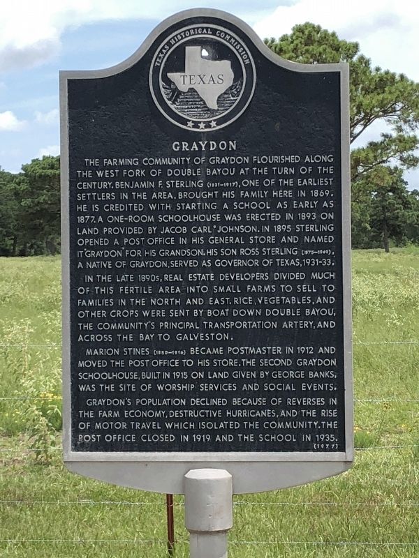
1. Graydon Marker
In the late 1890s, real estate developers divided much of this fertile area into small farms to sell to families in the north and east. Rice, vegetables, and other crops were sent by boat down Double Bayou, the community's principal transportation artery, and across the bay to Galveston.
Marion Stines (1850-1916) became postmaster in 1912 and moved the post office to his store. The second Graydon schoolhouse, built in 1915 on land given by George Banks was the site of worship services and social events.
Graydon's population declined because of reverses in the farm economy, destructive
this page online
Erected 1977 by Texas Historical Commission. (Marker Number 12651.)
Topics and series. This historical marker is listed in this topic list: Settlements & Settlers. In addition, it is included in the Postal Mail and Philately series list.
Location. 29° 41.451′ N, 94° 40.491′ W. Marker is near Anahuac, Texas, in Chambers County. It is on Eagle Road 2.8 miles south of Sykes Road (Farm to Market Road 2936), on the right when traveling north. Touch for map. Marker is in this post office area: Anahuac TX 77514, United States of America. Touch for directions.

Regionally, this marker is in the Houston Metropolitan Area. It is also in the American South and on the Gulf Coast. Globally, it is in North America, a Gulf of Mexico state, the Western Hemisphere, the Western World, and the Anglosphere. Historically, it finds itself in what was once New Spain, the Republic of Texas, and one of the Confederate States of America.
Other nearby markers. At least
Photographed by Brian Anderson, August 5, 2018
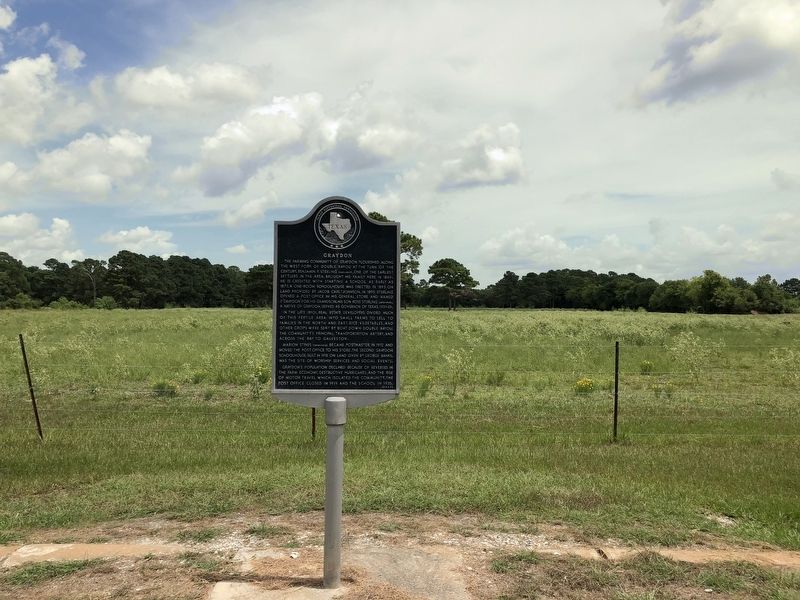
2. Graydon Marker
Credits. This page was last revised on August 8, 2018. It was originally submitted on August 7, 2018, by Brian Anderson of New Albany, Ohio. This page has been viewed 500 times since then and 20 times this year. Last updated on August 8, 2018, by Brian Anderson of New Albany, Ohio. Photos: 1, 2. submitted on August 8, 2018, by Brian Anderson of New Albany, Ohio. • Andrew Ruppenstein was the editor who published this page.
