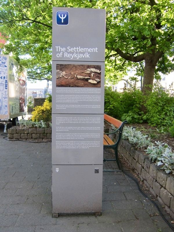
The Settlement of ReykjavÝk
Archaeological remains have been found in the city centre. They date back to the settle-ment period in the 9th century to modern times. This is the site of the first settlement of ReykjavÝk and it is believed that the farmstead reached from Vonarstrimti to Grjˇtagata.
The first settlers came to Iceland from Norway and the British Isles in the 9th century. At this time the environment was quite different from what we see today. There were birch wood forests that for various reasons had for the most part vanished by the year 1000. The sea level was considerably lower and the homes of the early settlers were built on a gravel bank typical of the area at the time.
Beyond it was the Lake, much larger than today, as it extended as far as the present site of the ReykjavÝk Cathedral. A brook flowed from it out to sea, where LŠkjargata (Brook Street) now stands.
Archaeological findings provide us with a clear picture of the life of the early Icelandic community in the 9th and 10th centuries, the period described in the Sagas of Icelanders. People lived in longhouses, a common type of turf houses
in Scandinavia during the Viking Age. By one of these longhouses was a smithy where metal was melted and forged.At the site was a well organized common zone, utilised in various ways by the inhabitants. Iron was processed from bog iron, barley was worked and baking took place over open hearths in the area. Animal bones found during the excavations show that the settlers hunted birds for food and caught fish and shellfish at sea. They were agricultural people as well and raised cattle and pigs. Walrus ivory was an export commodity in these times but walruses became more scarce by the Icelandic shores in the 11th century.
Research shows that it is probable that more archaeological remains from the early settlement period lie concealed under the modern buildings and road constructions in the city centre. Therefore, the settlement of Reykjavik and the life of the first settlers remains to be explored further. One 10th century longhouse has been preserved and it can be seen at the Settlement Exhibition 871 ▒2 in AalstrŠti 16.
-
═ mibŠnum hafa fundist fornminjar frß ÷llum tÝmum ═slandss÷gunnar og er hÚr a finna elstu bygg Ý ReykjavÝk. Tali er a elsta bŠjarstŠi hafi nß frß VonarstrŠti og norur fyrir Grjˇtag÷tu en ß ■vi hafa stai nokkur h˙s.
Fyrstu landnemarnir komu frß Noregi og Bretlandseyjum
NßlŠgt h˙sunum lß Tj÷rnin sem var mun stŠrri en n˙ og nßi ■anga sem Dˇmkirkjan stendur. Ůar sem n˙ er LŠkjargata rann lŠkur ˙r Tj÷rninni til sjßvar.
Minjarnar sem hafa fundist Ý miŠnum gefa gˇa mynd af ■vÝ samfÚlagi sem hÚr myndaist ß 9.-10. ÷ld, ß s÷gutima ═slendingasagna. Fˇlk bjˇ Ý skßlum sem var algeng ger torfh˙sa Ý Skandinaviu ß vÝkinga÷ld. Vi einn ■essara skßla stˇ smija ■ar sem mßlmur var brŠddur og unninn. ═ grennd vi bŠjarh˙sin var skipulagt athafnasvŠi ■ar sem fˇlk kom saman og stundai řmis st÷rf. Ůar fˇr fram jßrnvinnsla ˙r mřrarraua en rauinn var sˇttur Ý mřrarnar Ý kring. Vinnsla ß korni og bakstur fˇr fram yfir eldstŠum ß svŠinu.
Dřrabein sem hafa fundist vi fornleifarannsˇknir benda til ■ess a landnßmsmenn hafi veitt sÚr fugla til matar og nřtt sÚr aulindir sjßvar. Ůeir stunduu landb˙na og rŠktuu meal annars nautgripi og svÝn. Afurir rostungs nřttust vel en ■Šr voru vinsŠlar erlendis og ■vi vermŠt ˙tflutningsvara. Rostungum fŠkkai ■ˇ t÷luvert vi strendur landsins 11. ÷ld.
Rannsˇknir sřna a fornleifar frß fyrstu tÝ liggja undir g÷tum og h˙sum i mibŠnum. Ůa er ■vÝ
Topics. This historical marker is listed in this topic list: Settlements & Settlers. A significant historical year for this entry is 871 CE.
Location. 64° 8.842′ N, 21° 56.524′ W. Marker is in ReykjavÝk, Capital Region (H÷fuborgarsvŠi), in ReykjavÝkurborg. It is in Centre. Marker can be reached from the intersection of AalstrŠti and KirkjustrŠti. Touch for map. Marker is in this post office area: ReykjavÝk, Capital Region 101, Iceland. Touch for directions.
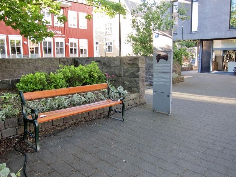
Other nearby markers. At least 8 other markers are within walking distance of this marker. Vik Church Altar (here, next to this marker); AalstrŠti 16 (a few steps from this marker); Theodˇra Thoroddsen (a few steps from this marker); AalstrŠti 12 - ═safold (within shouting distance of this marker); Grjˇgata 4 (within shouting distance of this marker); Adlon (within shouting distance of this marker); Ingibj÷rg H. Bjarnason (about 90 meters away, measured in a direct line); Grjˇta■orp (about 90 meters away). Touch for a list and map of all markers in ReykjavÝk.
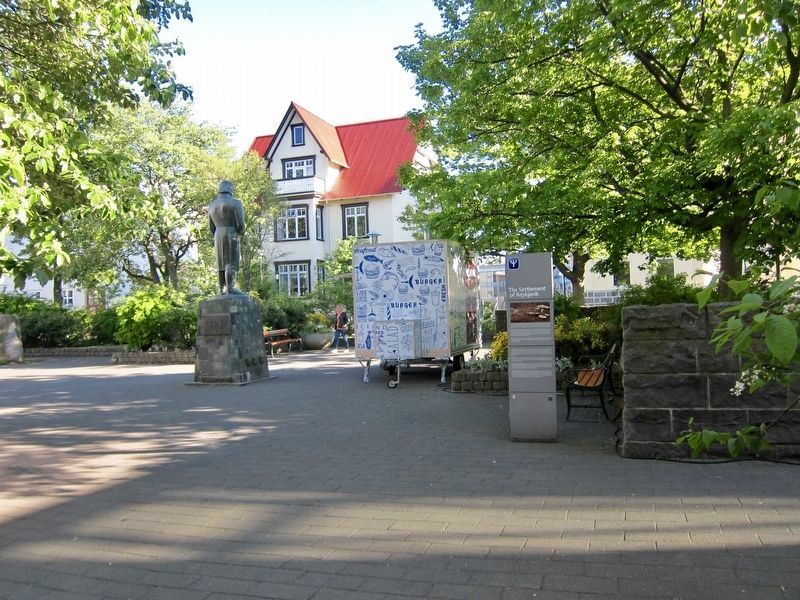
More about this marker. The marker is located within the small park (Vikurgarur) at the intersection of KirkjustrŠti and AalstrŠti, and easy to see when within the park. Worth noting is that directly accross the street (AalstrŠti),
set into the sidewalk, is a plexiglass setup into which one may look beneath the surface to see part of the excavated archaeological site. It's a rather underwhelming view, however.
Credits. This page was last revised on August 9, 2018. It was originally submitted on August 9, 2018, by Andrew Ruppenstein of Lamorinda, California. This page has been viewed 172 times since then and 12 times this year. Photos: 1, 2, 3. submitted on August 9, 2018, by Andrew Ruppenstein of Lamorinda, California.


